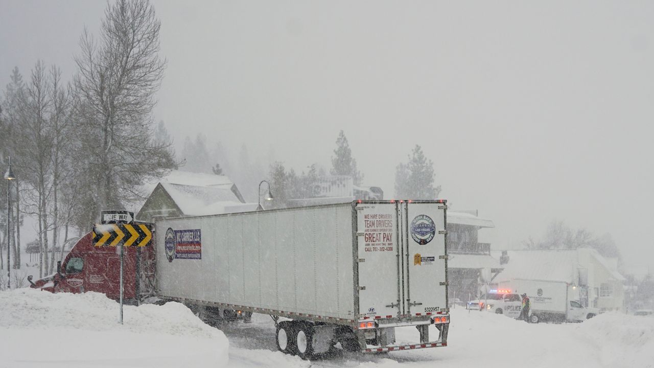
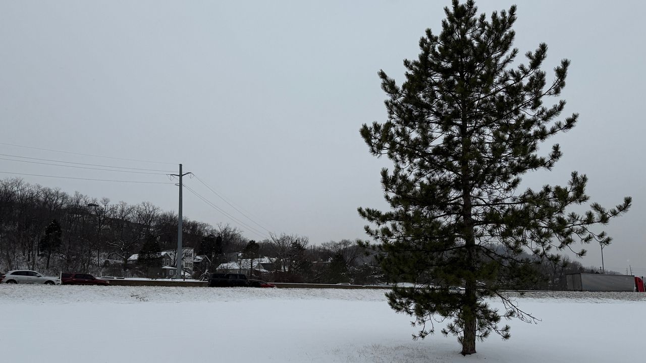
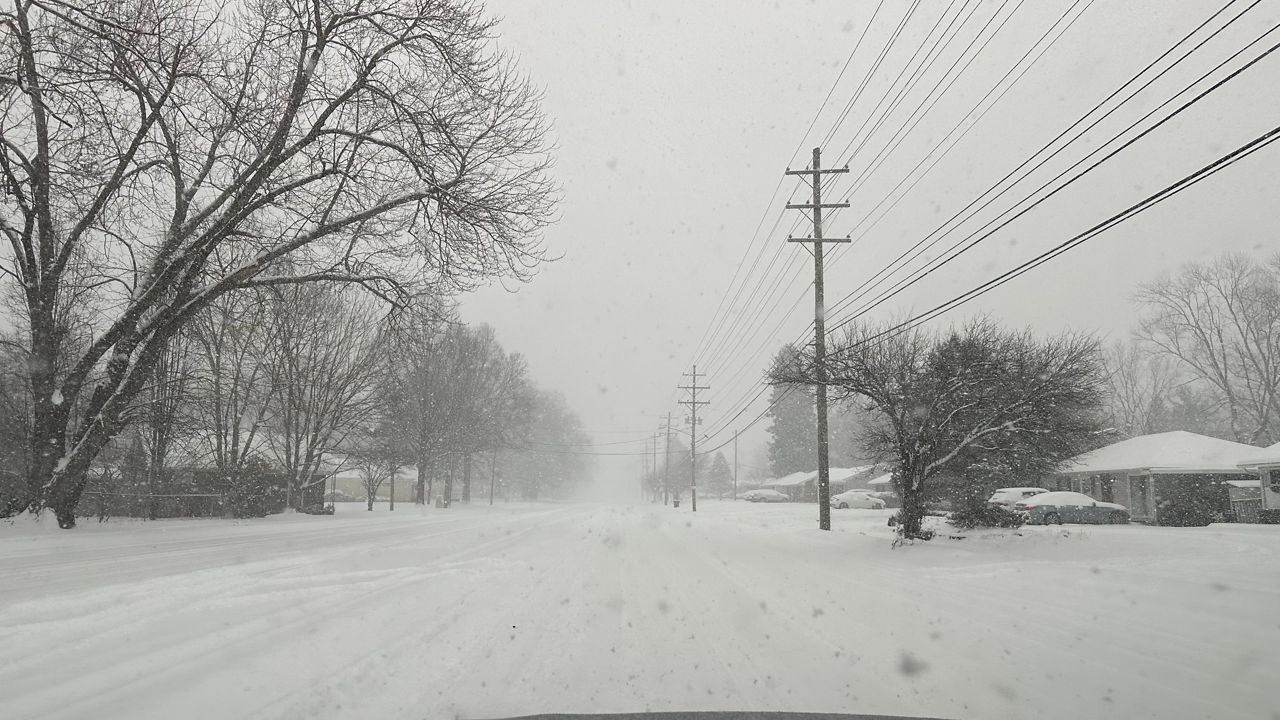
KENTUCKY - An impactful winter storm will hit the area again today, bringing with it moderate to heavy snowfall at times.
This storm system is moving up from the southwest with a lot of moisture. We are on the northern side of this system, so this will be pure snowfall.
Winter storm warnings and watches have been posted for Friday, through early Saturday morning.
-1)
Snow will start up in the western half of the state for the morning commute. Roads will be slick as the snow gets started.
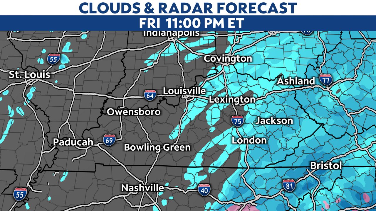
Late morning into the afternoon, snow will move into the central and eastern half of the state. Moderate to heavy snow will be likely during the afternoon and evening hours with roads becoming snow covered.
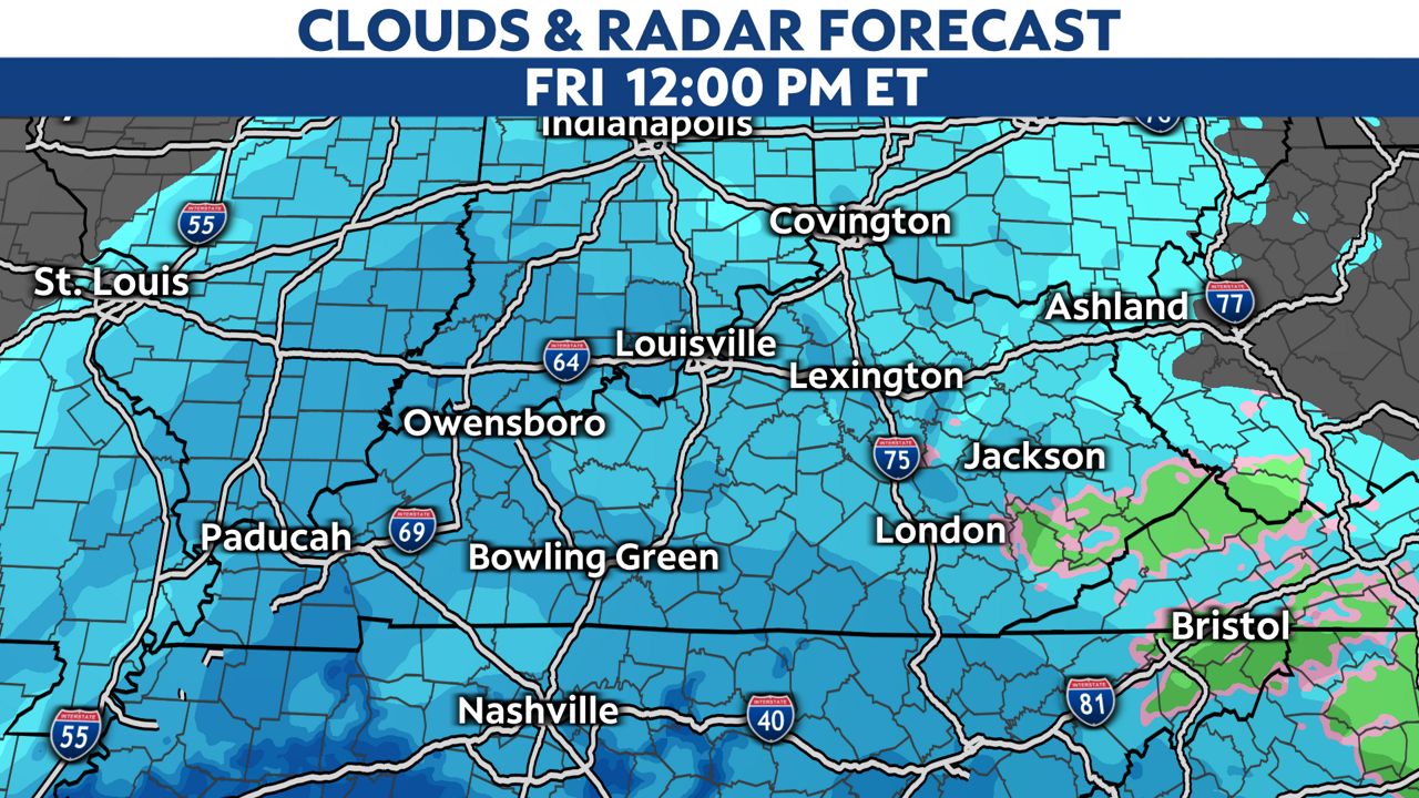
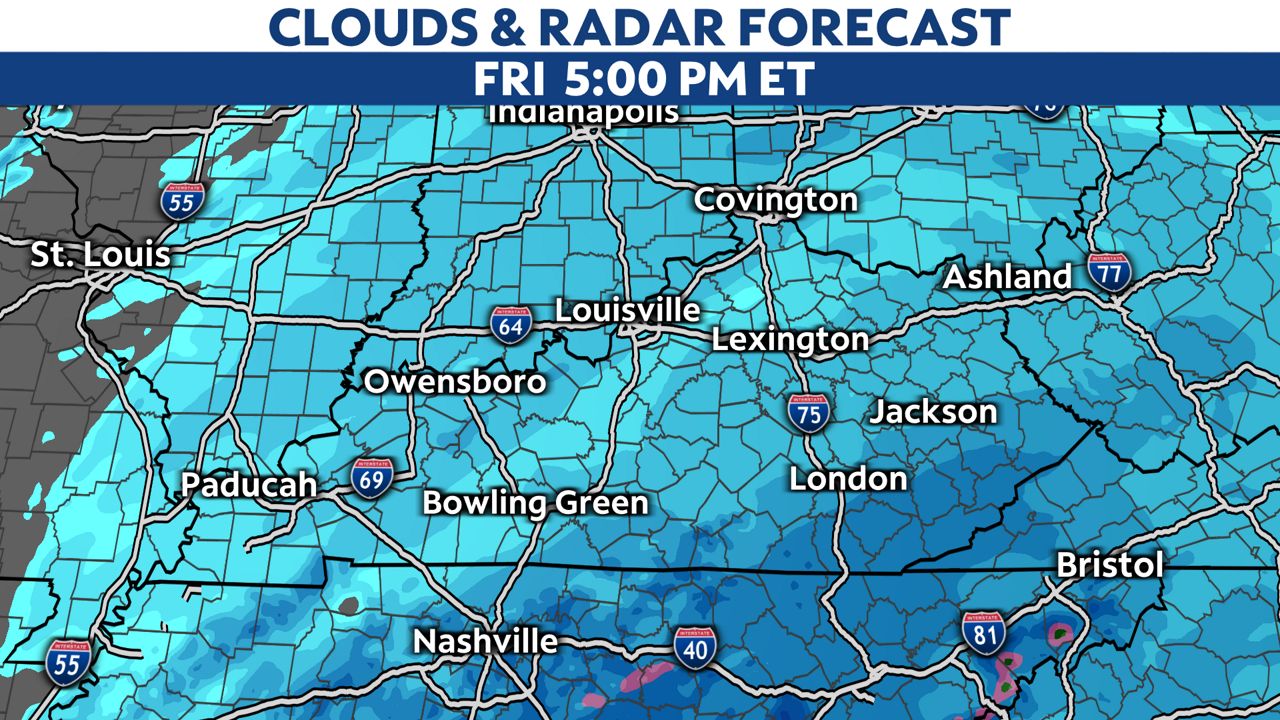
The snow will slowly diminish overnight into Saturday morning from west to east.
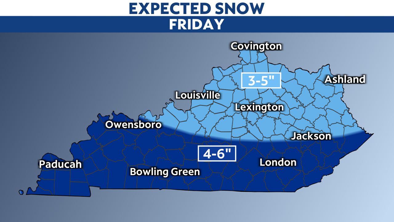
Most of the area will see 3 to 5 inches of snow. Higher amounts of 4 to 6 inches will be expected in the southern half of the state.
Our team of meteorologists dives deep into the science of weather and breaks down timely weather data and information. To view more weather and climate stories, check out our weather blogs section.


