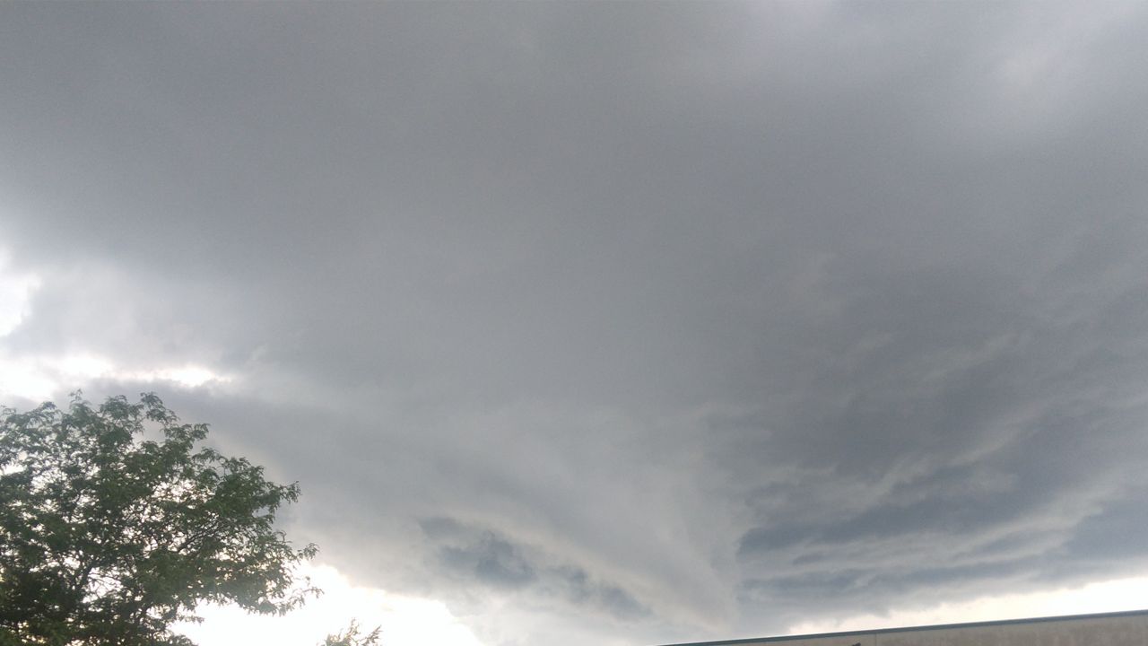
A prolonged and high-impact weather event will arrive late today and continue into the upcoming weekend.
With daily chances for thunderstorms and heavy rain, make sure you have a way to stay weather aware! Over the next few days, our severe weather threat will increase.
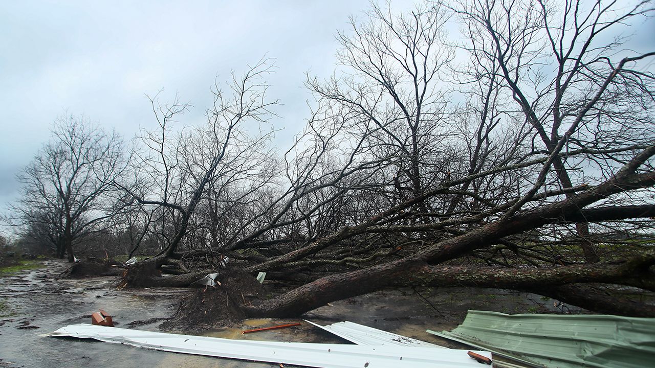
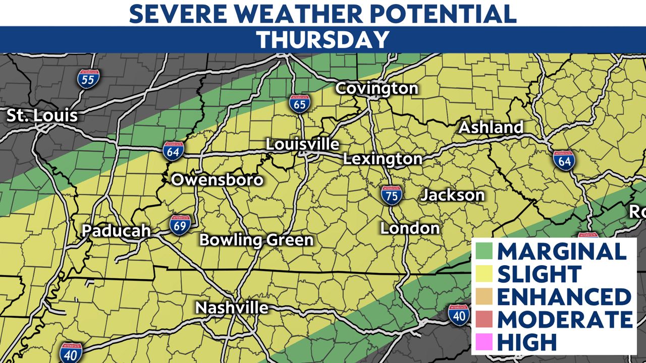
By this evening and tonight, storms will need to be watched closely. The Storm Prediction Center (SPC) has upgraded western Kentucky to a rare high risk. There is also a large moderate risk for areas along and west of I-65. Any storm that develops, especially in these areas, could produce damaging winds, large hail and long-track, strong tornadoes.
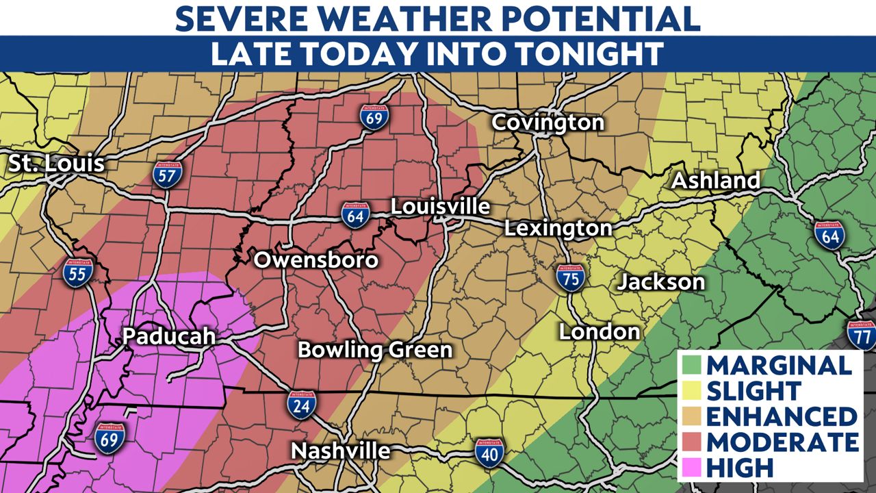
As the front stalls Thursday, there is another threat for storms. SPC has the entire area under a slight risk for severe storms.
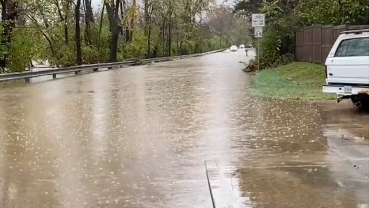
With the stalled frontal boundary staying parked over our area through the weekend, the flooding threat is very high. We are under a Flood Watch starting late today and continuing through the weekend. There is strong wording from the National Weather Service in the watch, stating this is expected to be a "high-end event with life-threatening flooding."
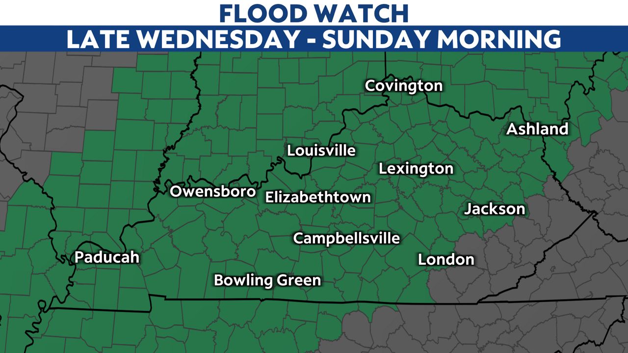
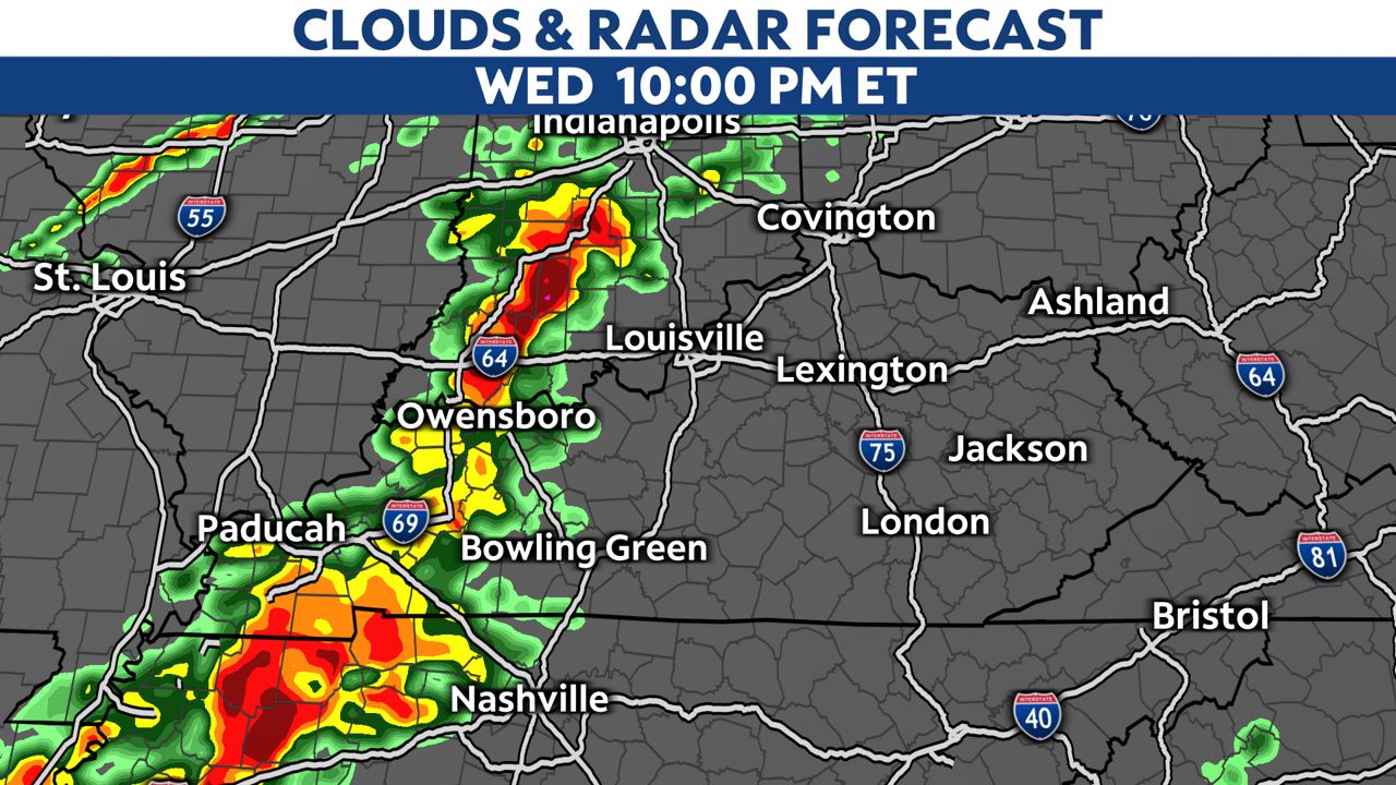
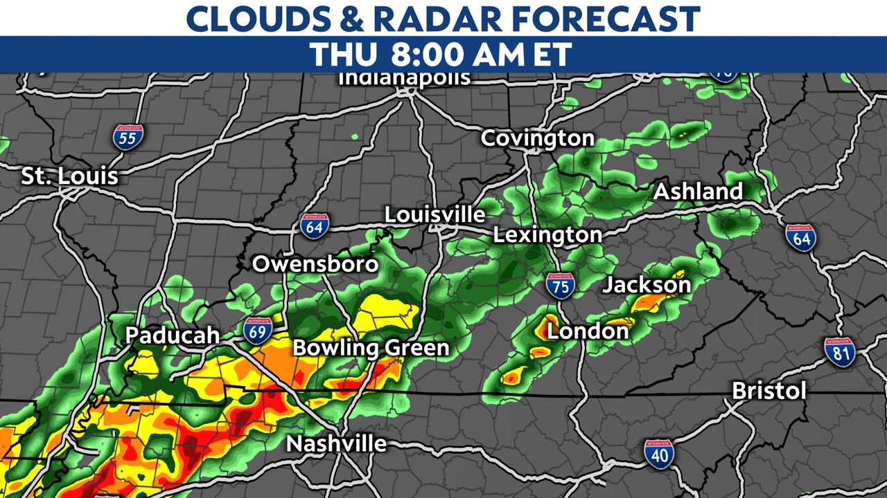
Storms will start moving into western Kentucky this evening and progress east overnight. The front will stall out on Thursday, with more showers and thunderstorms marching through the area.
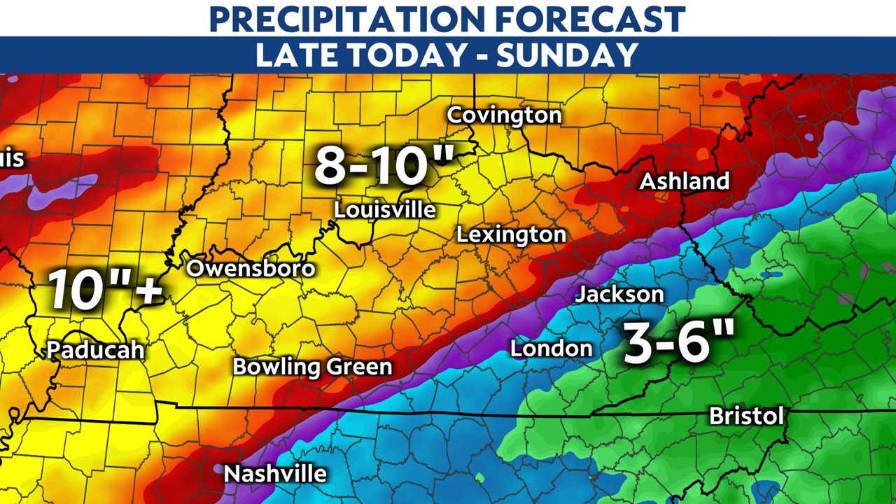
We could be looking at rainfall amounts along the Ohio River getting close to 10" or more. Lighter amounts are possible in eastern Kentucky.
Our team of meteorologists dives deep into the science of weather and breaks down timely weather data and information. To view more weather and climate stories, check out our weather blogs section.


