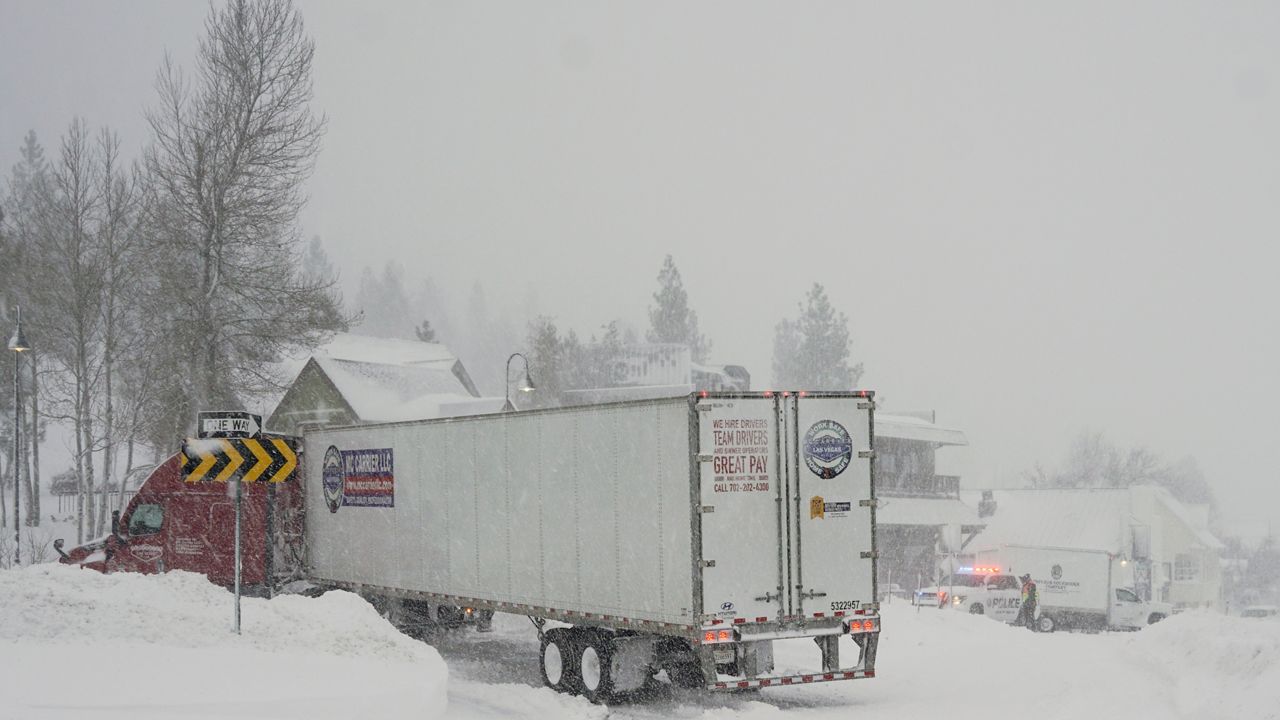
A major winter storm will finally start to exit the Ohio Valley today.
We continue to keep a close eye on a very complex winter storm that's been impacting the regions over the last 24 hours
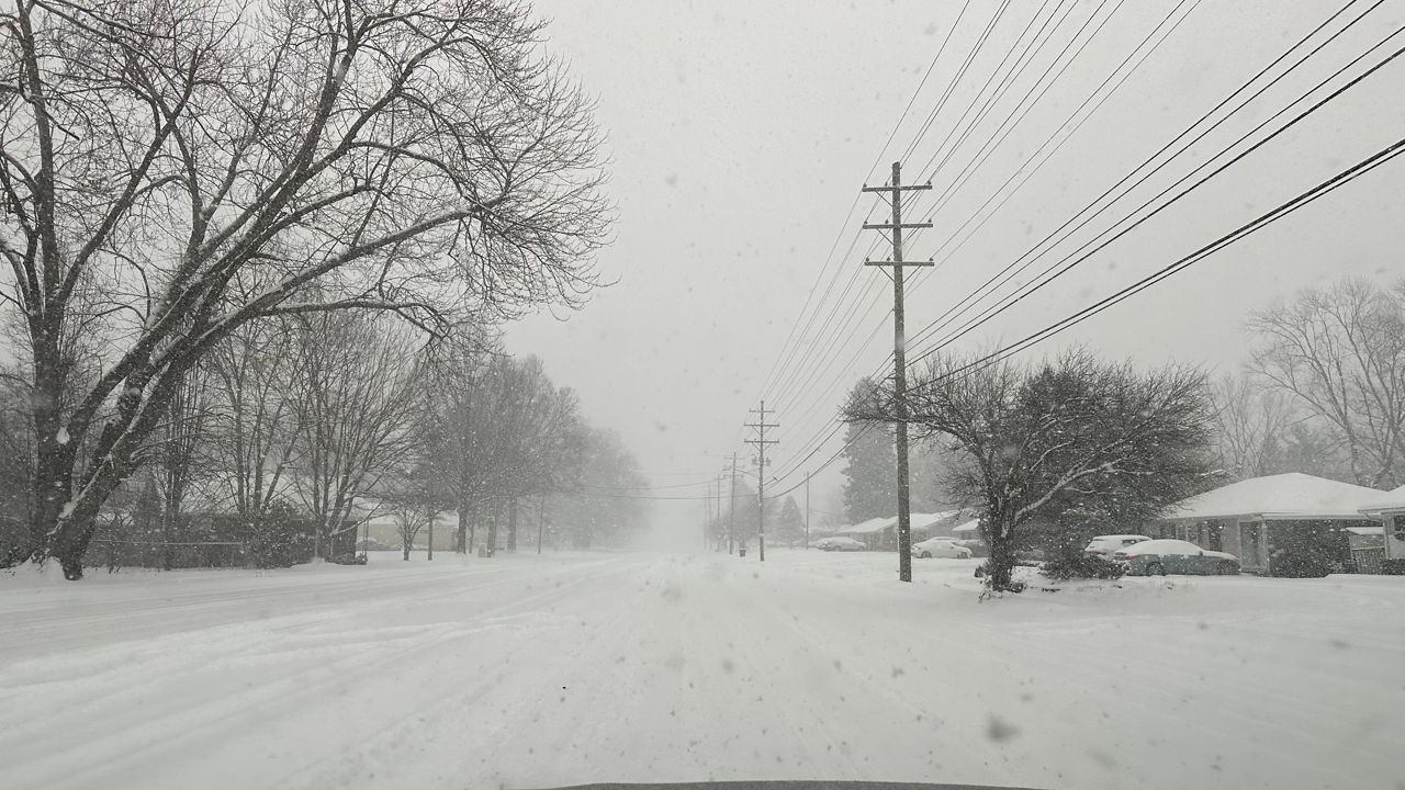
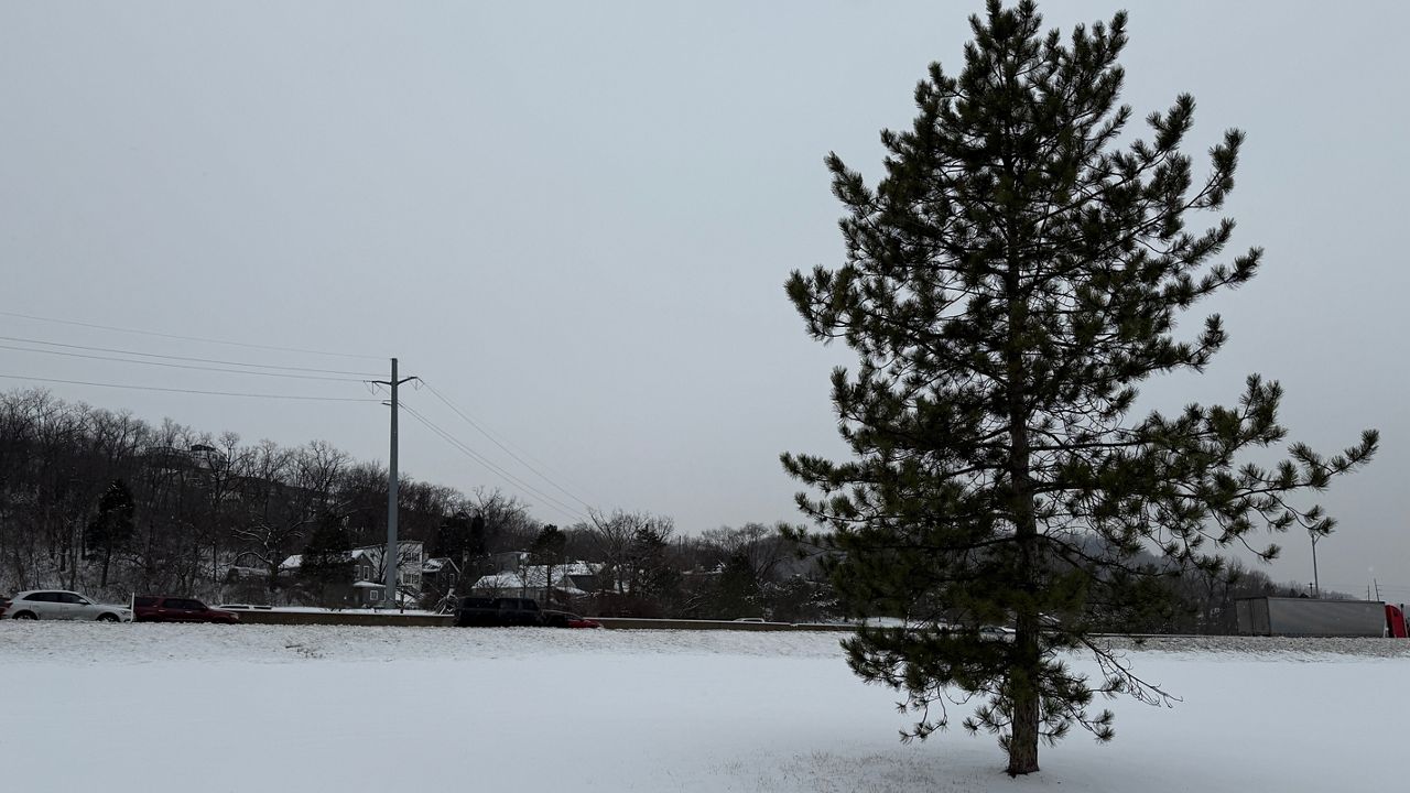
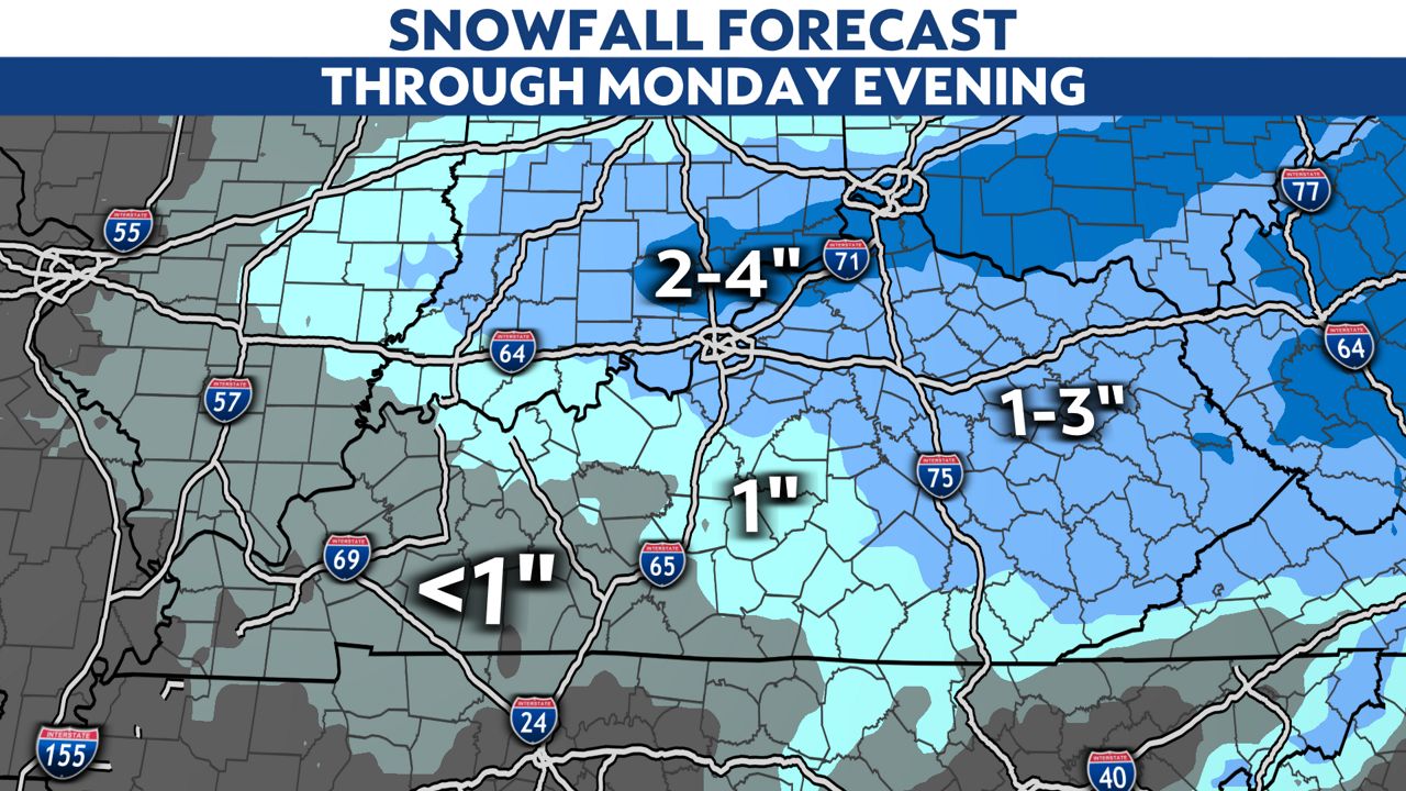
As the storm continues to move off to the east, a final area of snow will overspread the region with additional accumulations likely. This snow will be heavy enough to recover surfaces that have already been cleared of previous ice and snow.
With a good chunk of the commonwealth receiving over half a foot of snow, today's additional snow will only add to the headaches and overall snow total. Officials urge the public to stay off the roads if possible today to allow them additional time to continue clearing.
Once the system passes by the to east, we'll see strong gusty winds that could icrease power outages. We'll also see bitterly cold temperatures for a good part of the week, which means the snow will be here to stay on the ground for a least a week.
Our team of meteorologists dives deep into the science of weather and breaks down timely weather data and information. To view more weather and climate stories, check out our weather blogs section.


