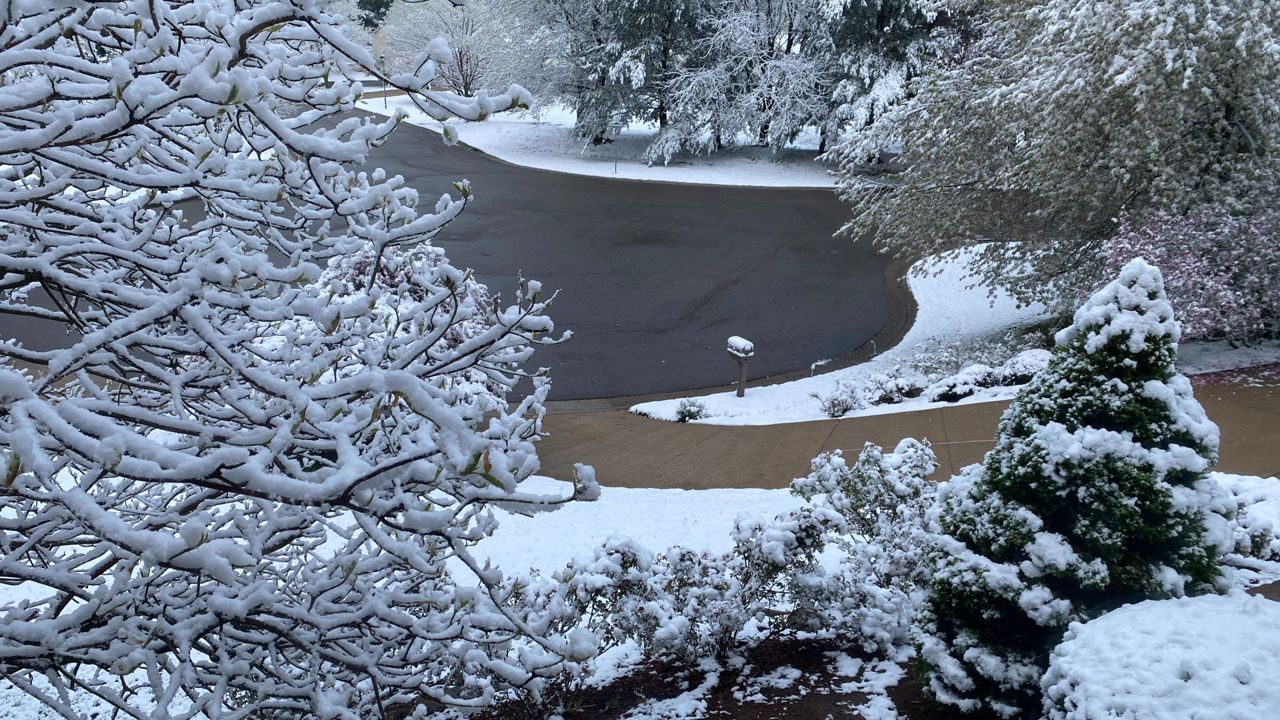


The battle between winter and spring continues across Wisconsin this weekend as another powerful storm system brings a mix of precipitation to the state.
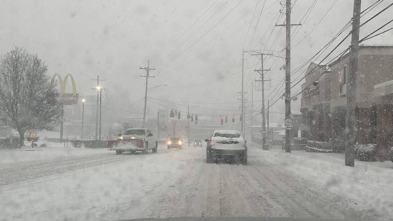
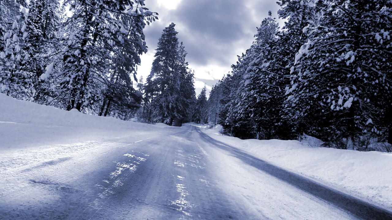
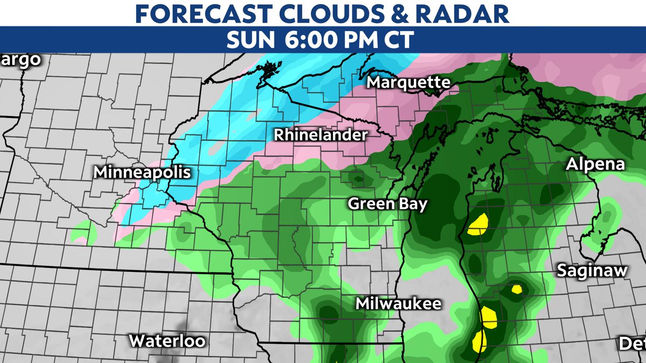
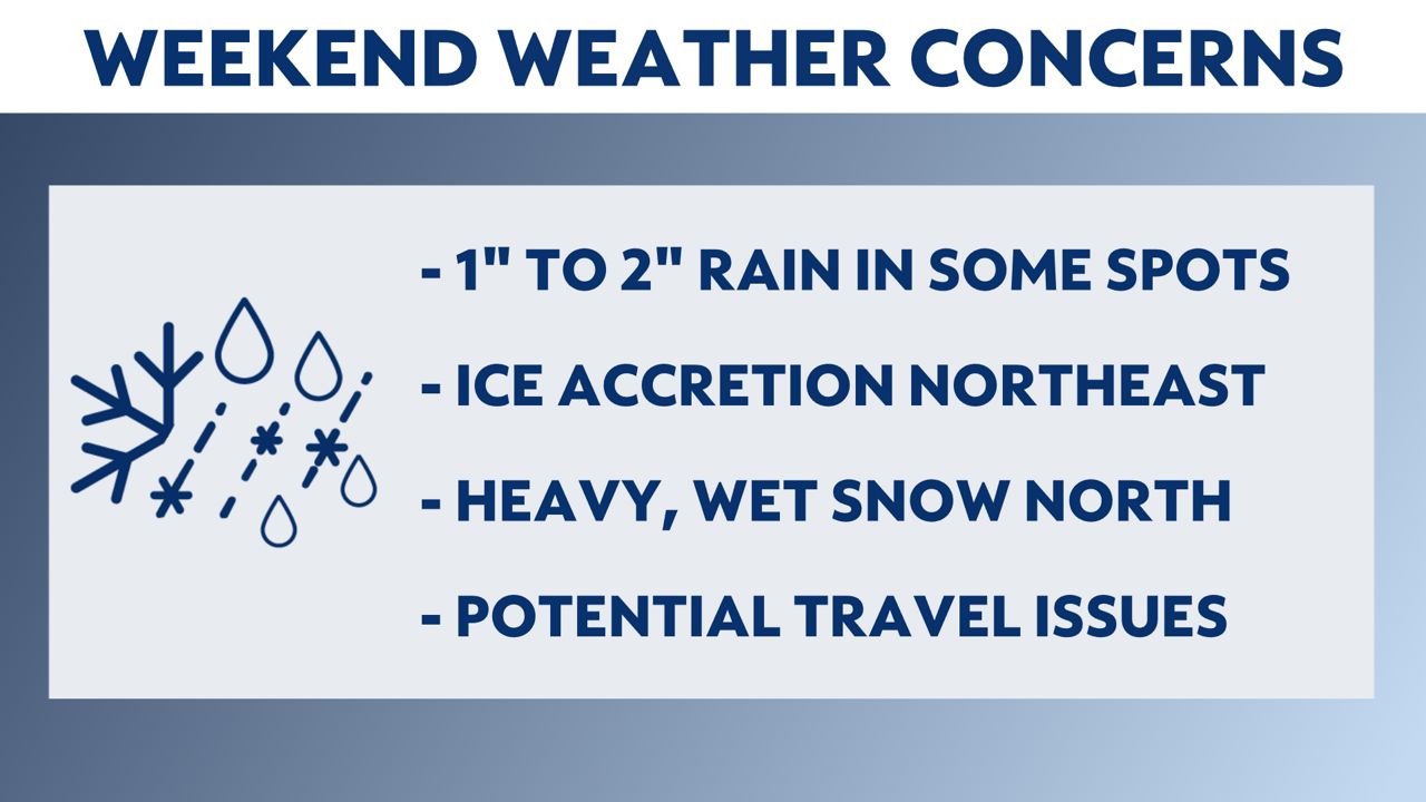
Parts of far northern Wisconsin will see rain switch to a wintry mix by early Sunday morning. With wintry mix more consistent in northern Wisconsin Saturday night into Sunday morning, ice accumulation is likely in north-central and northeastern Wisconsin. Take it nice and slow on the roadways as you'll likely come across a lot of slick stretches.
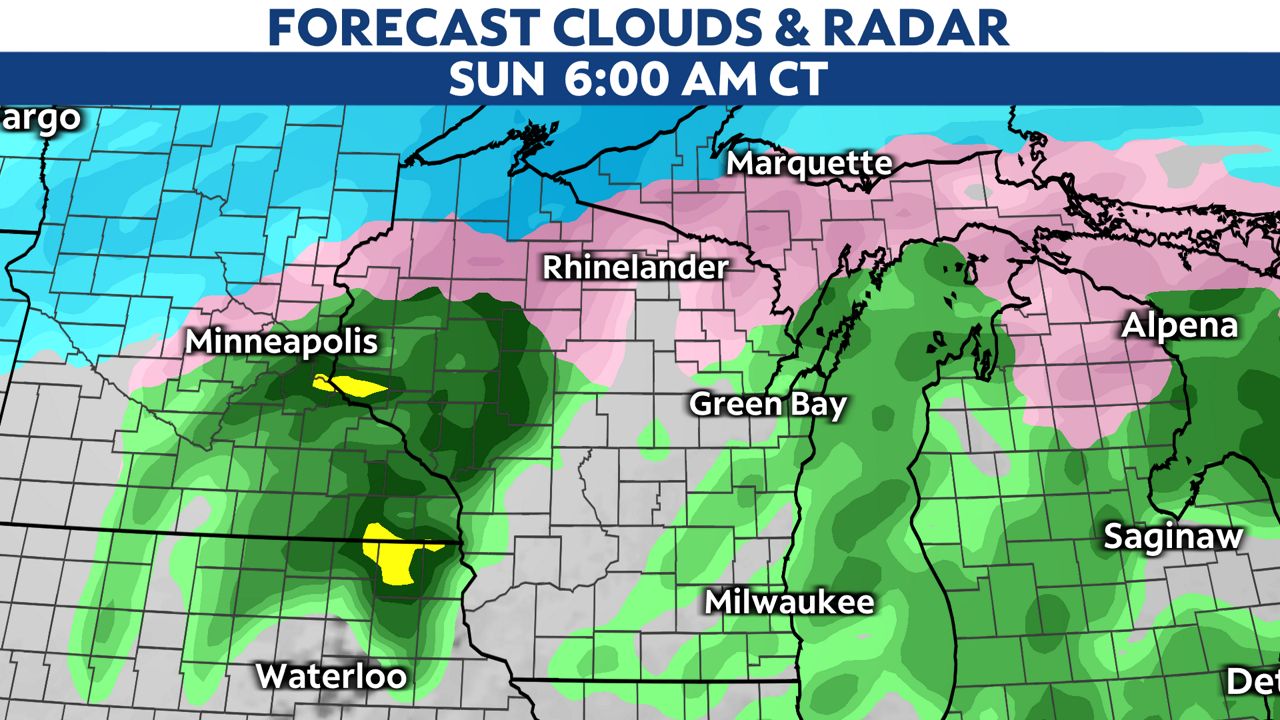
By Sunday evening, rain switches over to a wintry mix before changing to all snow Sunday night into Monday morning.
Expect light snow to continue into early Monday morning before precipitation wraps up completely across the state.
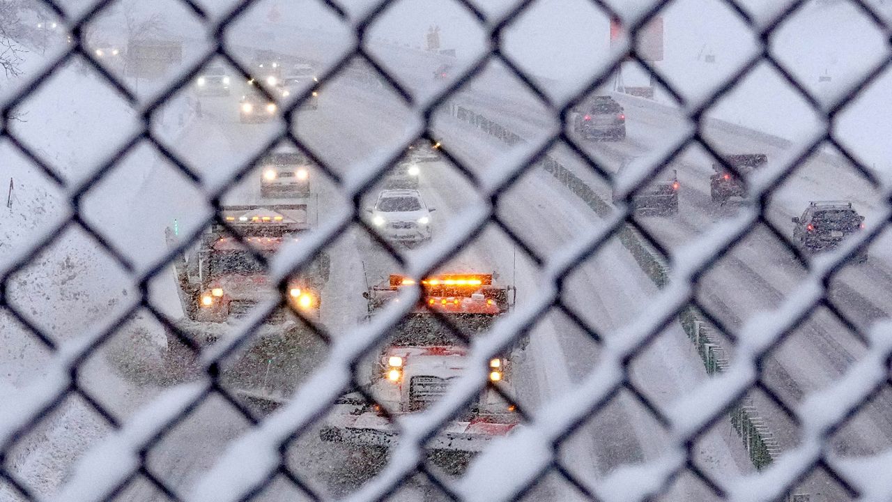
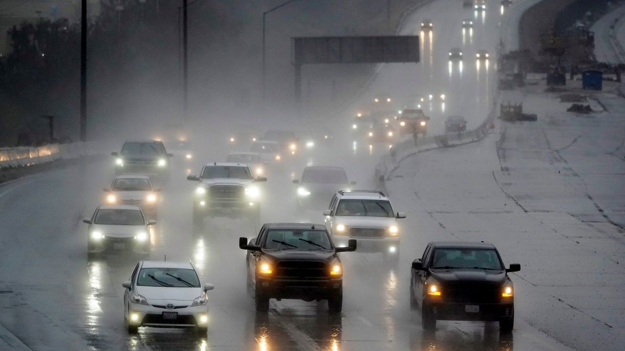
Statewide impacts can be expected from this storm, including 1 to 2 inches of rainfall south, which may lead to minor flooding in some areas. Significant icing and heavy snow are also likely in parts of northern Wisconsin, and travel will be slow at times over the weekend, regardless of the type of precipation that is falling.
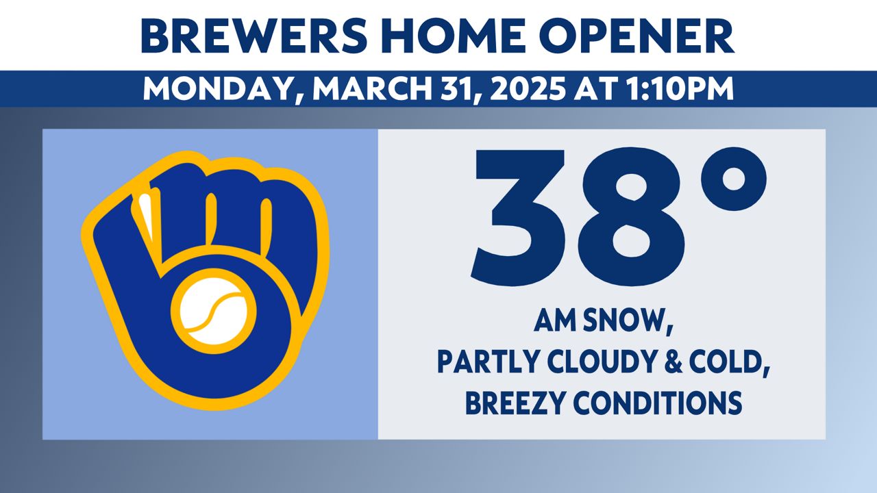
And for those who are looking ahead to the Brewers home opener, although we could see some snowflakes during tailgating hours, any snow should clear out for the start of the game. Make sure to bundle up as temperatures will only be in the upper 30s with wind chills in the low 30s.
Stay with Spectrum News 1 Wisconsin and your "Weather on the 1s" team as we continue to track this storm system.
Check your local forecast | Send us your weather photos
Follow the "Weather On the 1s" Team on social media for the latest weather updates:
Meteorologist Brooke Brighton: Facebook | Twitter | Instagram | Threads l Bluesky
Meteorologist Jesse Gunkel: Facebook | Twitter
Meteorologist Kristin Ketchell: Facebook | Twitter | Instagram