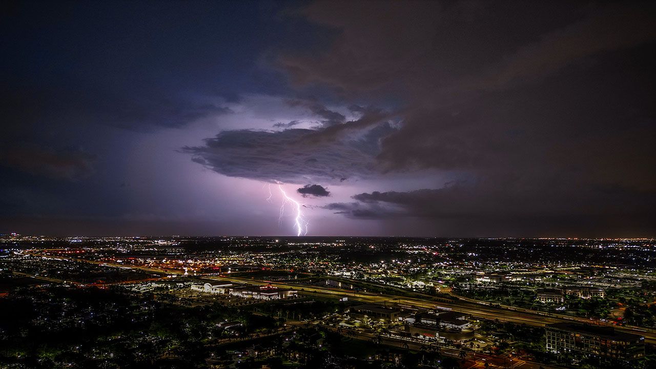
Confidence continues to grow that a strong spring storm system will develop over the central U.S. on Friday, triggering strong to severe thunderstorms across the Midwest.
An upper level low pressure system will move east of the Rockies early Friday morning and intensify as it tracks over the Plains states and the Midwest. A warm front associated with this storm system will lift north during the day on Friday, quickly warming temperatures around the region, with many areas reaching into the 70s by Friday afternoon.
Strong southerly flow will transport a fairly large amount of moisture into the country's midsection and this combined with the warm temperatures and winds of varying speeds and directions at different levels of the atmosphere will create instability and trigger thunderstorms, some of which may be strong to severe.
The areas at the highest risk of seeing severe thunderstorms and tornadoes are south of Wisconsin in Illinois and Missouri.
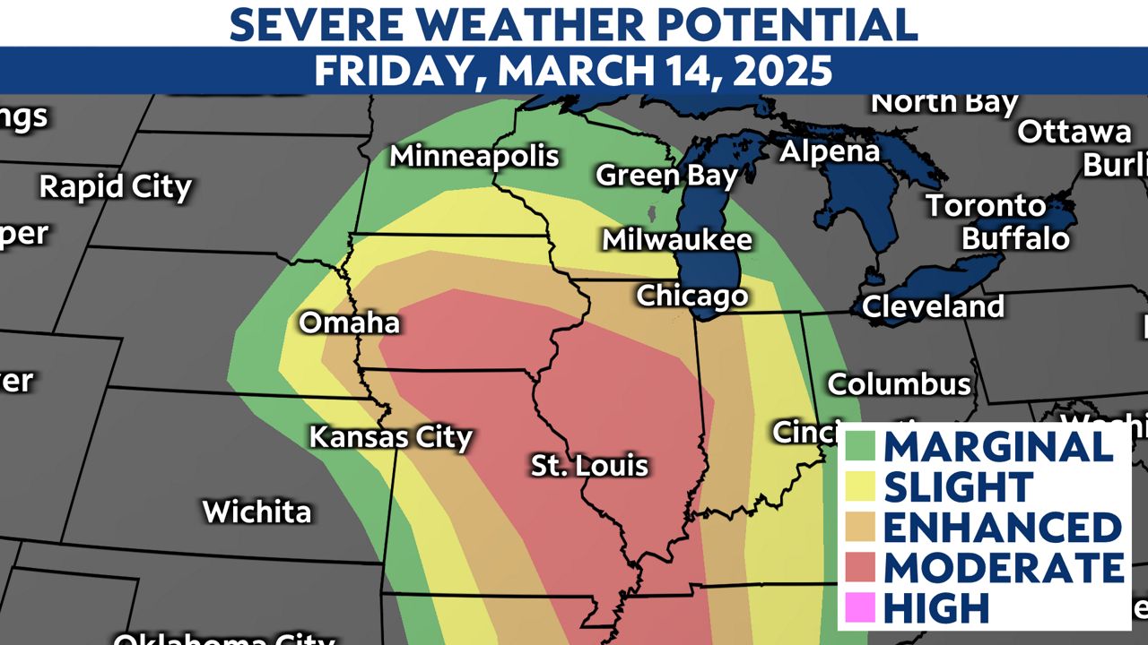
In Wisconsin, strong to severe thunderstorms are still likely given our likelihood of instability in the atmosphere Friday evening into Friday night. The areas at the greatest risk for seeing severe thunderstorms are in southern and southwestern Wisconsin where the the National Weather Service Storm Prediction Center (SPC) has placed that portion of the state under an "Enhanced" risk (3 out of 5 on our scale) for severe thunderstorms. This means that scattered severe thunderstorms are likely.

A line of thunderstorms will push into southwestern Wisconsin Friday night and continue to move northeast. As the line of storms reaches more stable air, they will gradually weaken, but some thunder and widespread rain will still be possible across the state.
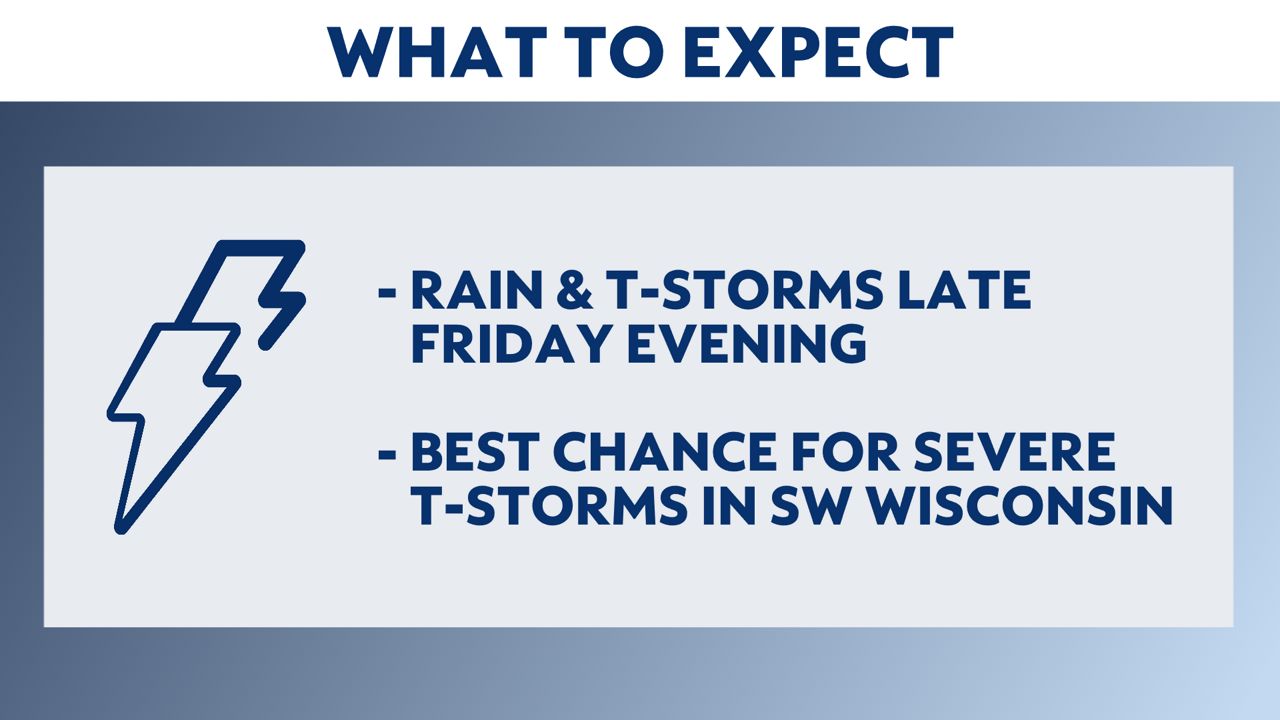
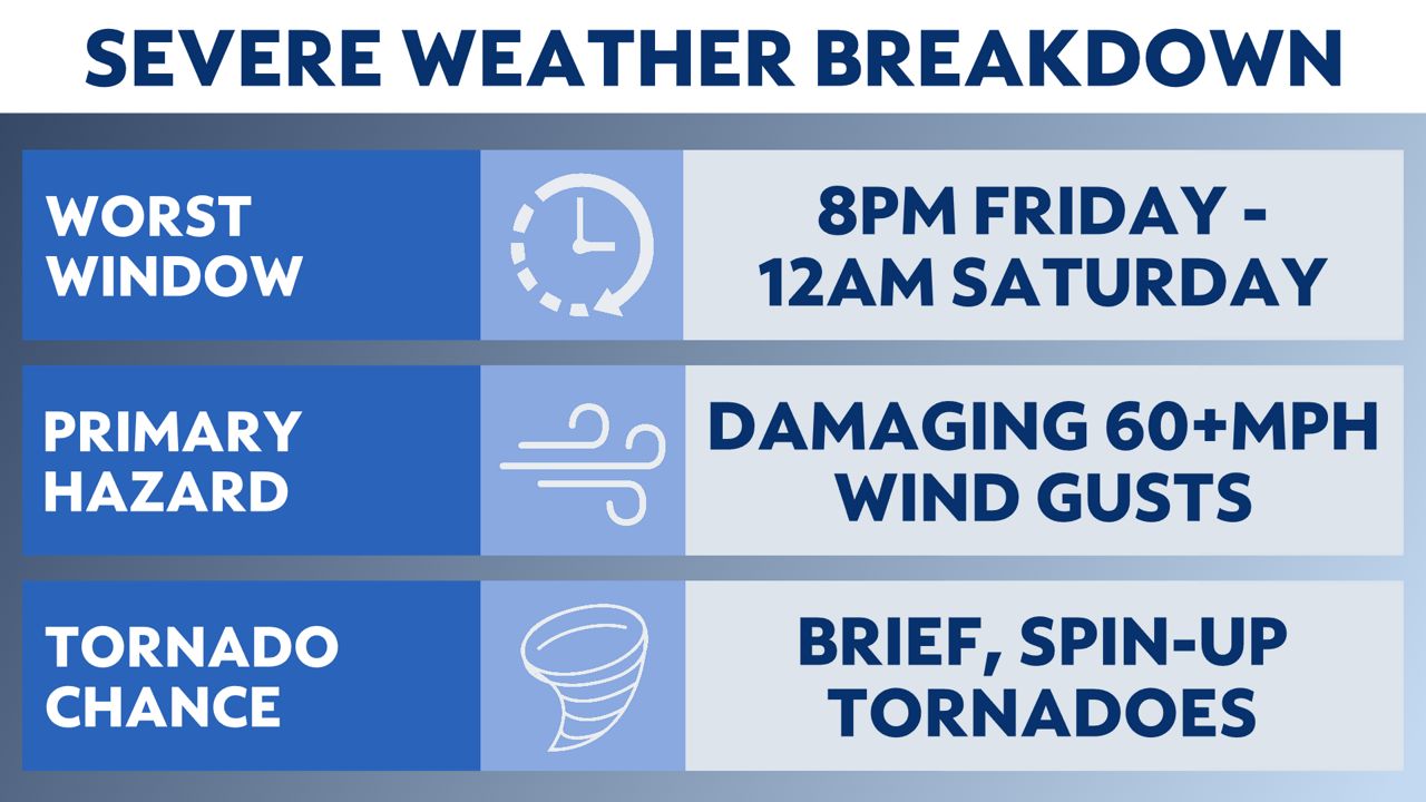
The main threat with this line of thunderstorms is damaging wind gusts of 60mph or greater. Brief, spin-up tornadoes are also possible along the leading edge of the line of thunderstorms. Pockets of heavy rain can also be expected within the thunderstorms. The overall threat of hail is low, but some small hail may be possible in the strongest storms. The window of time where the severe weather potential is highest is from 8 p.m. Friday to 12 a.m. Saturday. Widespread rain and thunder will still likely linger beyond 12 a.m., but the severe weahter threat will gradually diminish.
The severe weather threat is conditional on many factors including the arrival time of the thunderstorms, amount of moisture availability in Wisconsin and the track of the storm system itself. Weather models have been in fairly good agreement for several days now about the ingredients being in place for a severe weather outbreak in parts the Midwest on Friday. We will have a better idea of how those storms will evolve and hold together as they enter the state after they begin to develop to our southwest Friday afternoon.
Take time now to make sure you and your family are prepared for the possibility of severe weather. It's a good idea to make sure you have an emergency kit stocked and ready and discuss a severe weather plan with your family in the event that any weather warnings are issued. You should also be sure to have multiple ways to receive weather alerts.
Stay with Spectrum News 1 Wisconsin and your "Weather on the 1s" team as we continue to track this storm system.
Check your local forecast | Send us your weather photos
Follow the "Weather On the 1s" Team on social media for the latest weather updates:
Meteorologist Brooke Brighton: Facebook | Twitter | Instagram | Threads l Bluesky
Meteorologist Jesse Gunkel: Facebook | Twitter
Meteorologist Kristin Ketchell: Facebook | Twitter | Instagram


