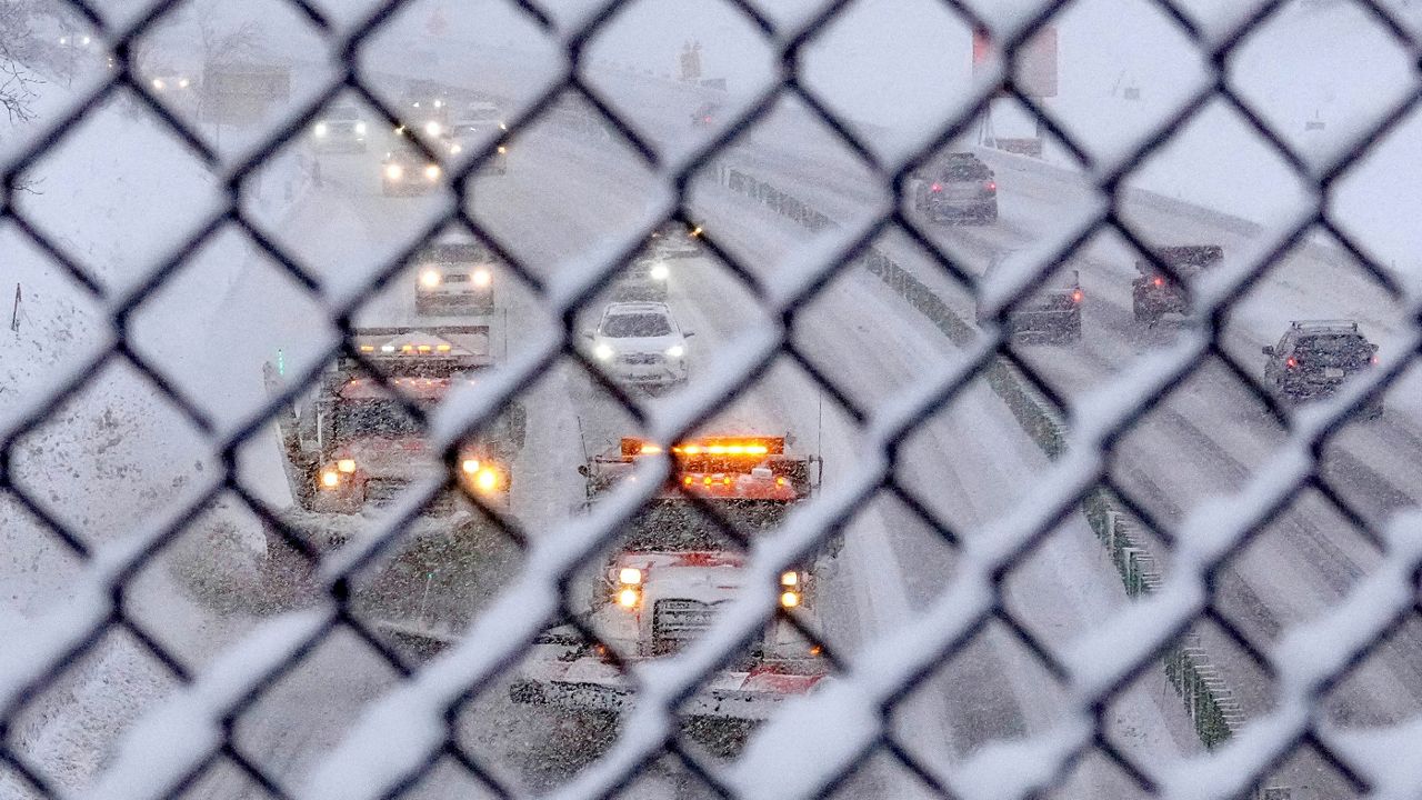
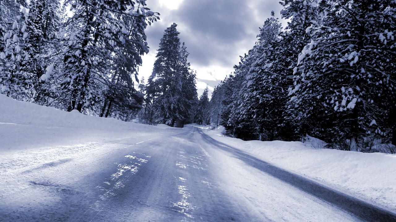
A potent winter storm will continue to impact Wisconsin on Wednesday with moderate to heavy snow in many areas through the evening.
Winter Weather Advisories and Winter Storm Warnings continue through early Thursday morning for the counties highlighted on the map below.
These locations are where we expect the highest impacts from the snow.
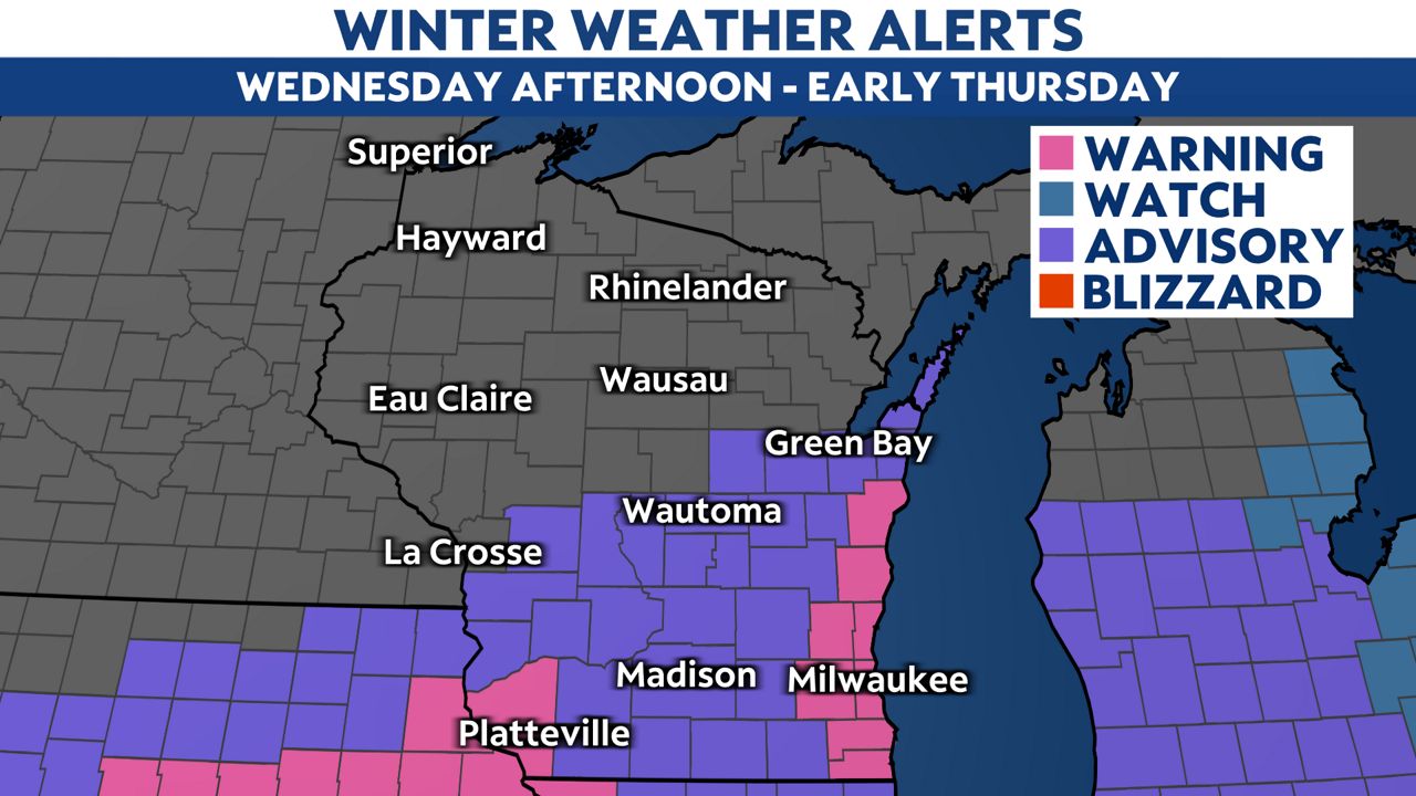
The snow will pick up in coverage and intensity during the afternoon and evening on Wednesday. The window for the worst storm impacts will likely be from about 2 p.m. to 10 p.m. Wednesday night, when heavier bands of snow and lake-enhanced snowfall impacts many areas.
Snowfall rates near Lake Michigan in southeastern Wisconsin are likely to reach 1 inch per hour, which will cause the snow to quickly accumulate on the roads and other surfaces.
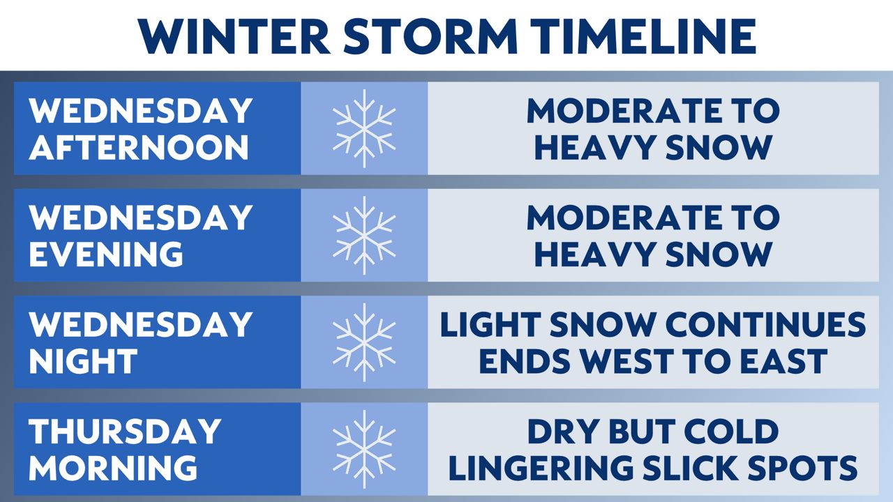
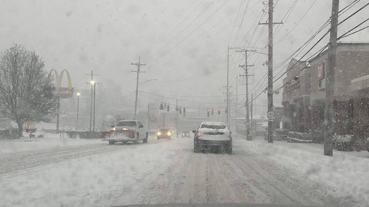
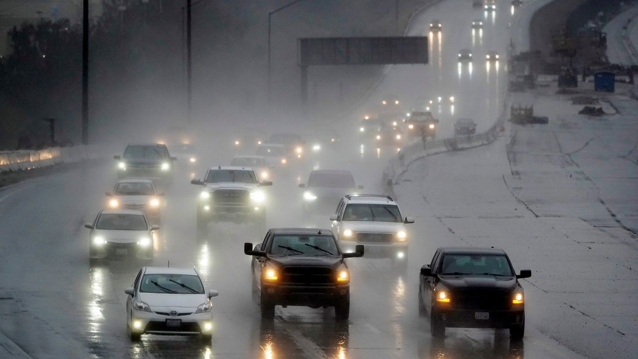
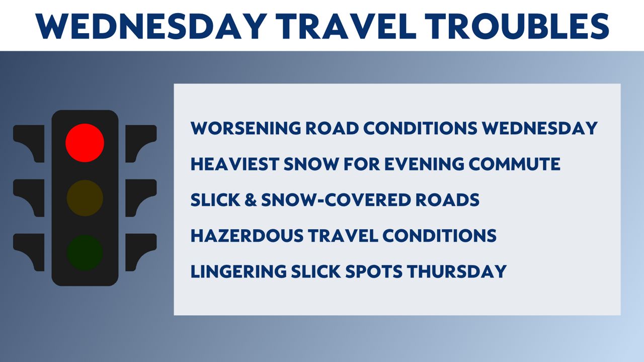
Road conditions will deteriorate throughout the day. The heaviest snow will coincide with the evening commute, so plan accordingly for slick and snow-covered roads, along with delays and slowdowns Wednesday afternoon and evening. Visibility may also be low at times, as pockets of heavier snow move in, especially around southeastern Wisconsin.
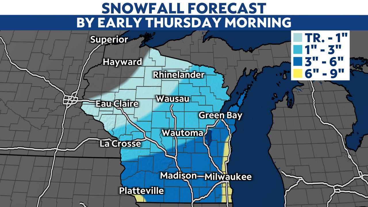
Southeastern Wisconsin, closest to Lake Michigan, will likely measure 6 to 9 inches of snowfall thanks to lake effect and lake-enhanced snowfall during the day Wednesday. Some isolated, higher snow totals are even possible close to the lakeshore.
Much lower amounts are expected in northwestern parts of the state, with some areas in far northwestern Wisconsin not even seeing a single snowflake.
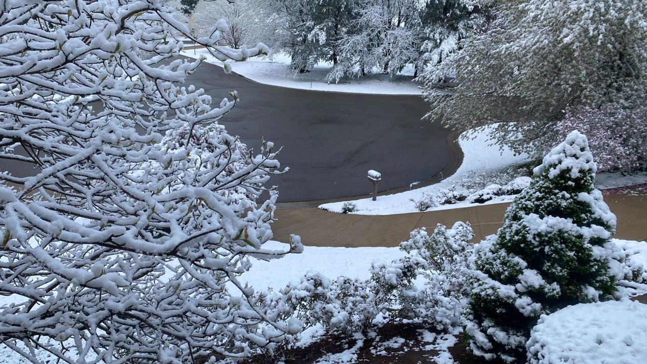
Shovels and snow blowers will be needed in many locations by the time the snow wraps up early Thursday morning. The weather quiets down with a return of sunshine in the afternoon, but brace yourselves: We're tracking another winter storm moving in for Valentine's Day on Friday, which will linger into the start of the weekend.


