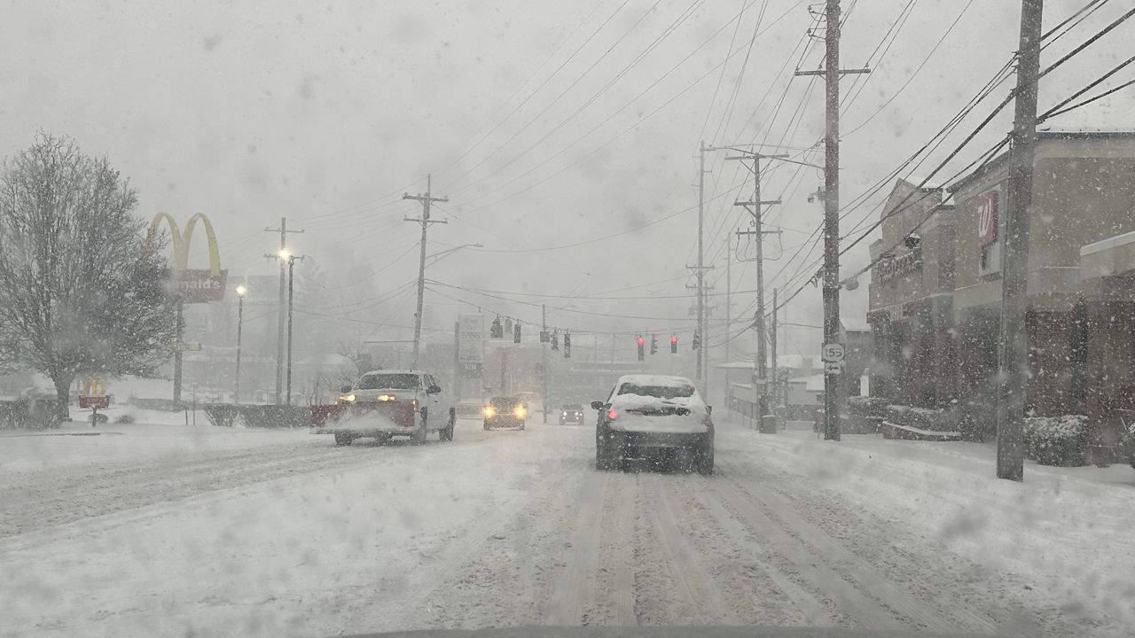
After the biggest snowstorm of the season for parts of Wisconsin on Wednesday, another winter storm brings accumulating snow Friday into Saturday.
Our next winter storm will arrive in two parts Friday into Saturday. Part one moves in Friday afternoon and evening, as snow overspreads the state from west to east.
Winter Weather Advisories are in effect now through early Saturday morning. Most counties in Wisconsin are included in a Winter Weather Advisory with the exception of a handful of counties northwest.
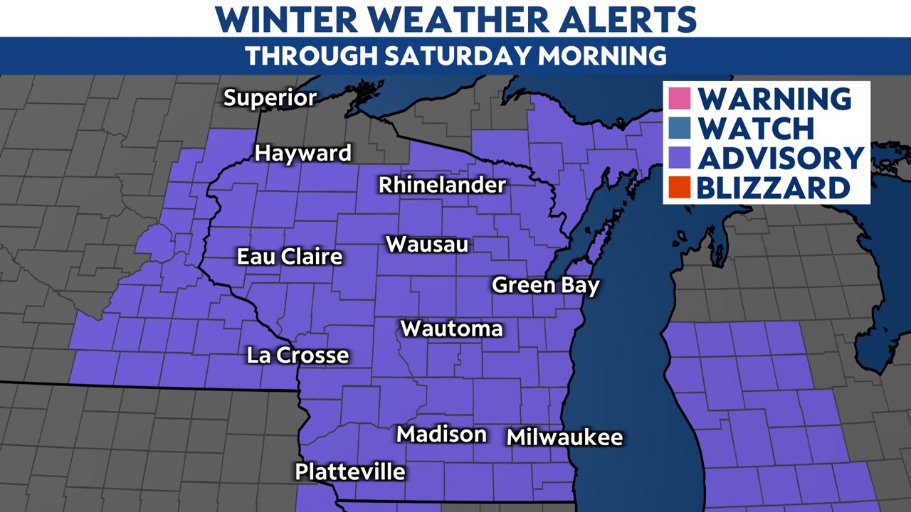
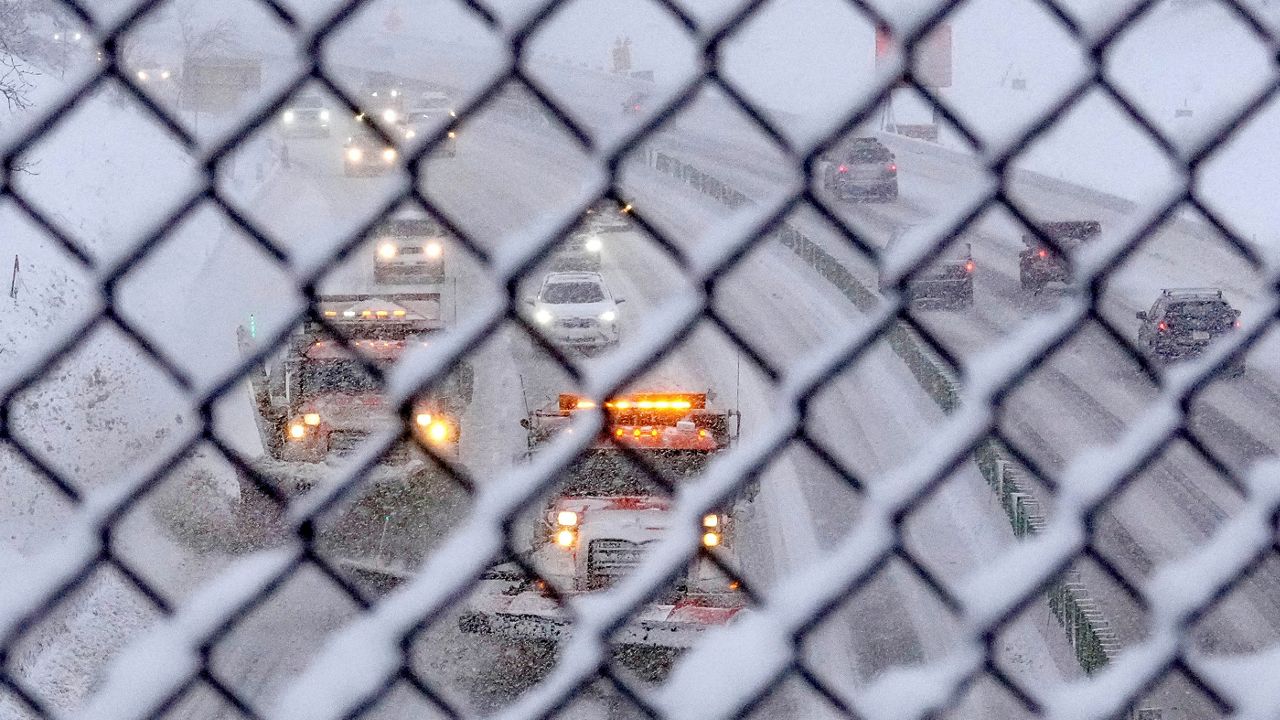
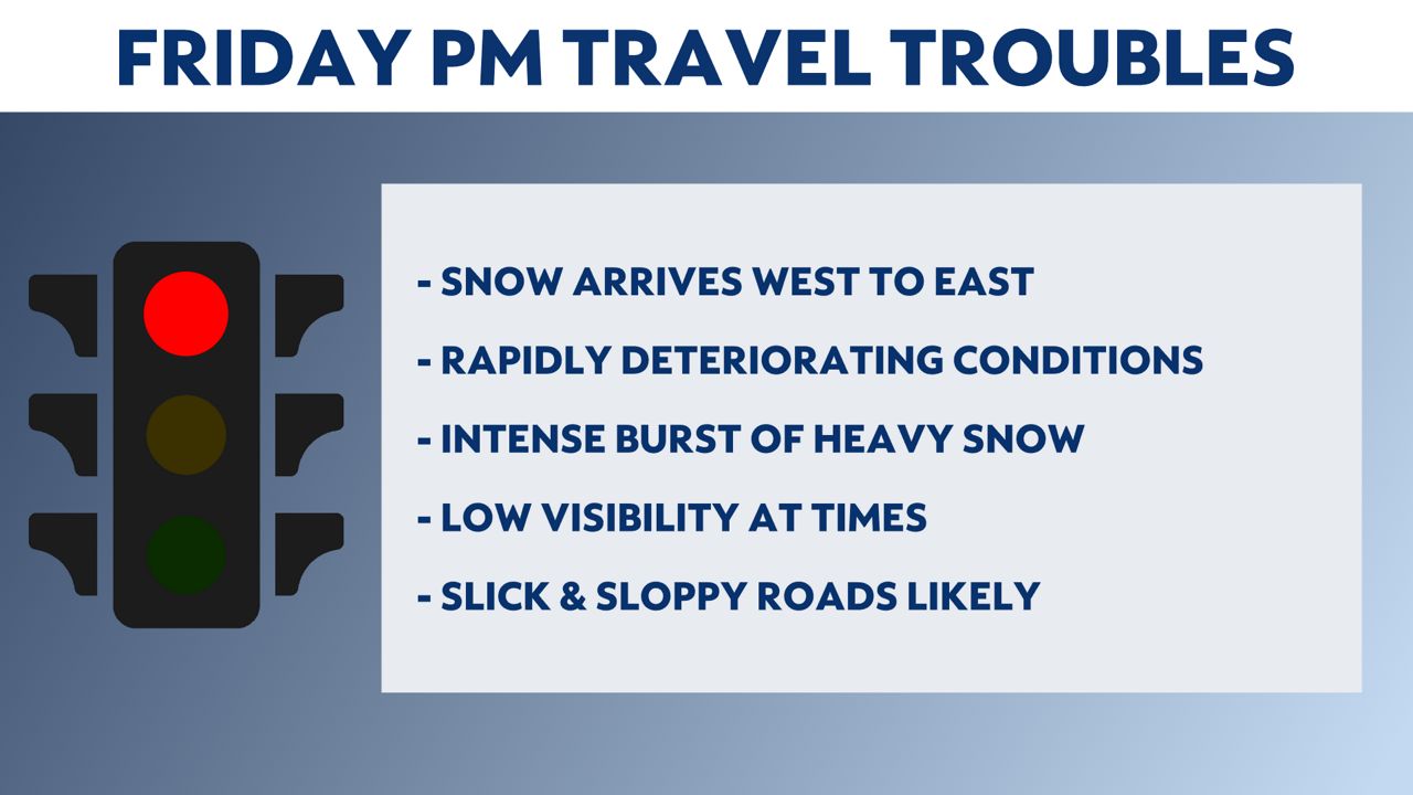
If you have dinner plans on Valentine's Day, weather conditions may change rapidly, as snow moves in and picks up in intensity through the evening. The worst window for the heaviest snow will be from Friday evening into early Saturday morning. Expect a brief period of intense snowfall where snowfall rates could approach one inch per hour. This will cause rapidly deteriorating road conditions and visiblity to drop quickly.
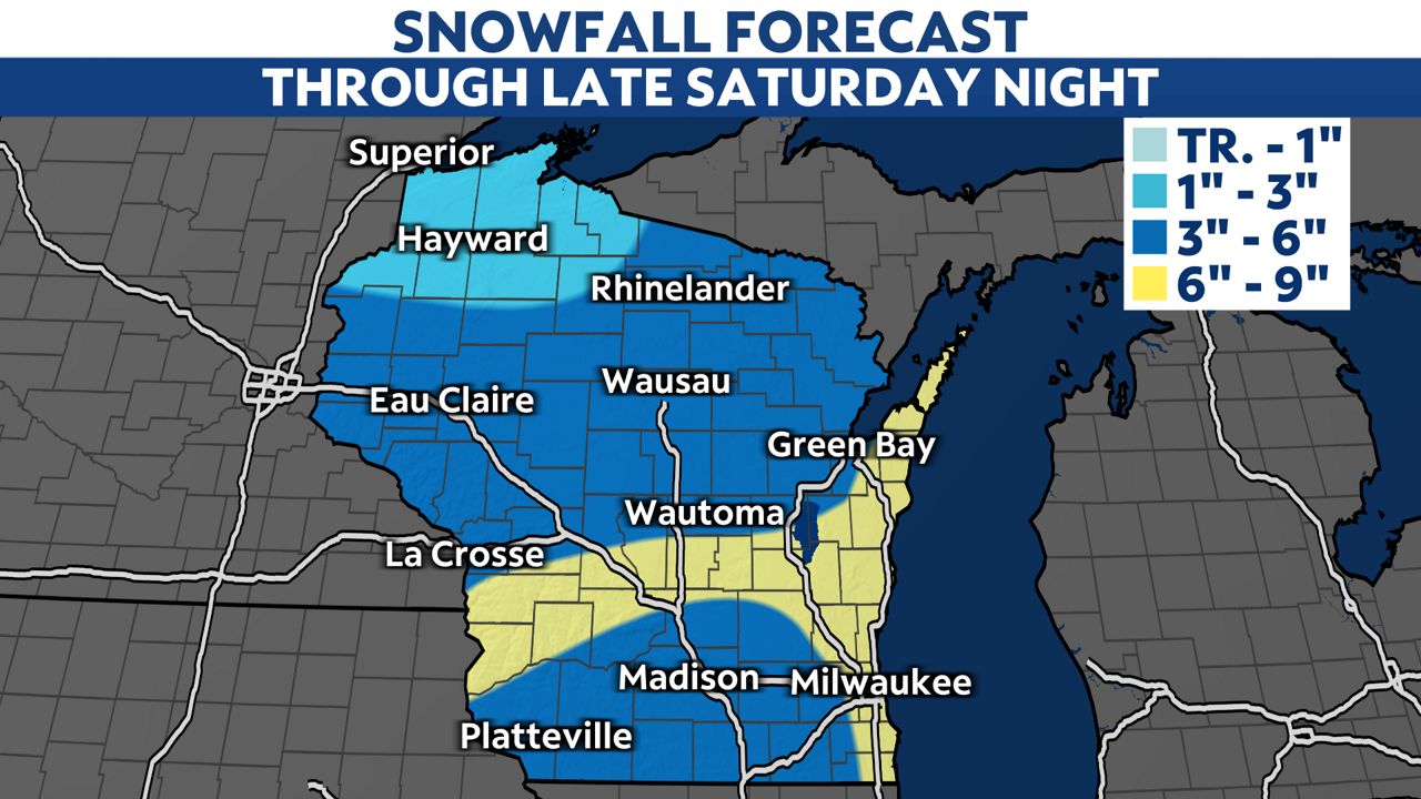
Overnight Friday into Saturday morning, the snow will start to wind down in most places. Pockets of light snow will still be possible, especially in areas near Lake Michigan. Most places will pick up 3 to 6 inches of snow through early Saturday morning with additional snowfall accumulation expected during the day on Saturday as the second part of this storm system impacts the state.
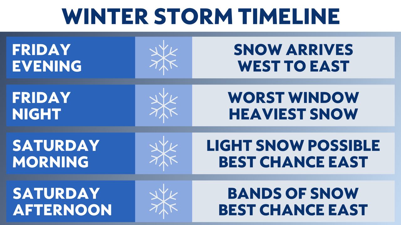
Bands of snow will likely develop during the day Saturday, but pinpointing exactly where these bands will set up is difficult. Lake enhanced snowfall is possible near Lake Michigan and if northeasterly winds off the lake are strong enough, we could see widespread accumulation of 2 to 4 inches of additional snowfall by Saturday night.
In total, areas near Lake Michigan are likely to pick up 6 to 9 inches of total snowfall from the onset of the snow Friday night through Saturday night. A few pockets of heavier snow are likely in other locations before the storm system wraps up Saturday night.
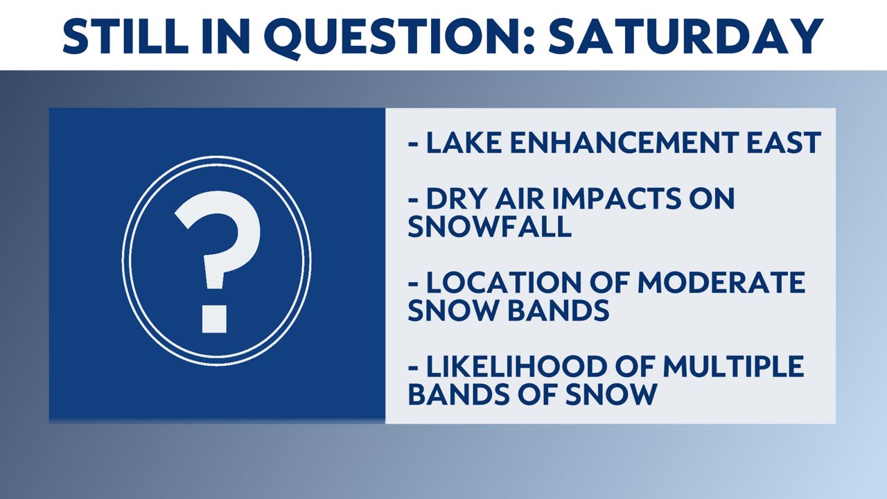
Some uncertainties do remain for the second part of the storm system on Saturday, like if the presence of dry air cuts down on the banding of snow and therefore, our overall snow totals. If the wind is positioned right off of Lake Michigan, we could also see lake-enhanced snowfall, which may increase snowfall totals nearest to the lakeshore. Additionally, there is still a question as to whether or not we see one intense band of snow developing or several bands of snow in southern Wisconsin.
We will continue to fine tune the forecast as more data becomes availabe and will have the latest information on-air and online through the weekend, so be sure to check back for more updates.
Check your local forecast | Send us your weather photos
Follow the "Weather On the 1s" Team on social media for the latest weather updates:
Meteorologist Brooke Brighton: Facebook | Twitter | Instagram | Threads l Bluesky
Meteorologist Jesse Gunkel: Facebook | Twitter
Meteorologist Kristin Ketchell: Facebook | Twitter | Instagram


