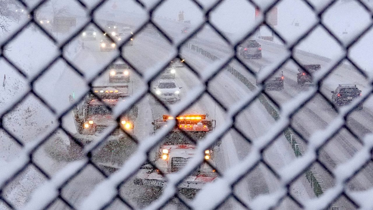
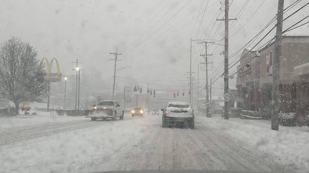
Snow and wintry mix continue to impact the Badger State through Thursday morning.
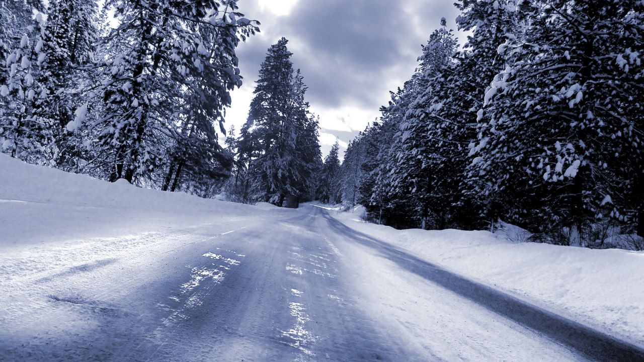
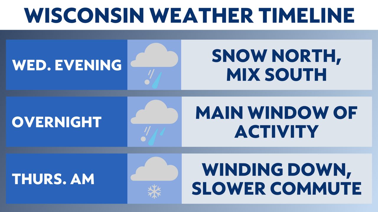
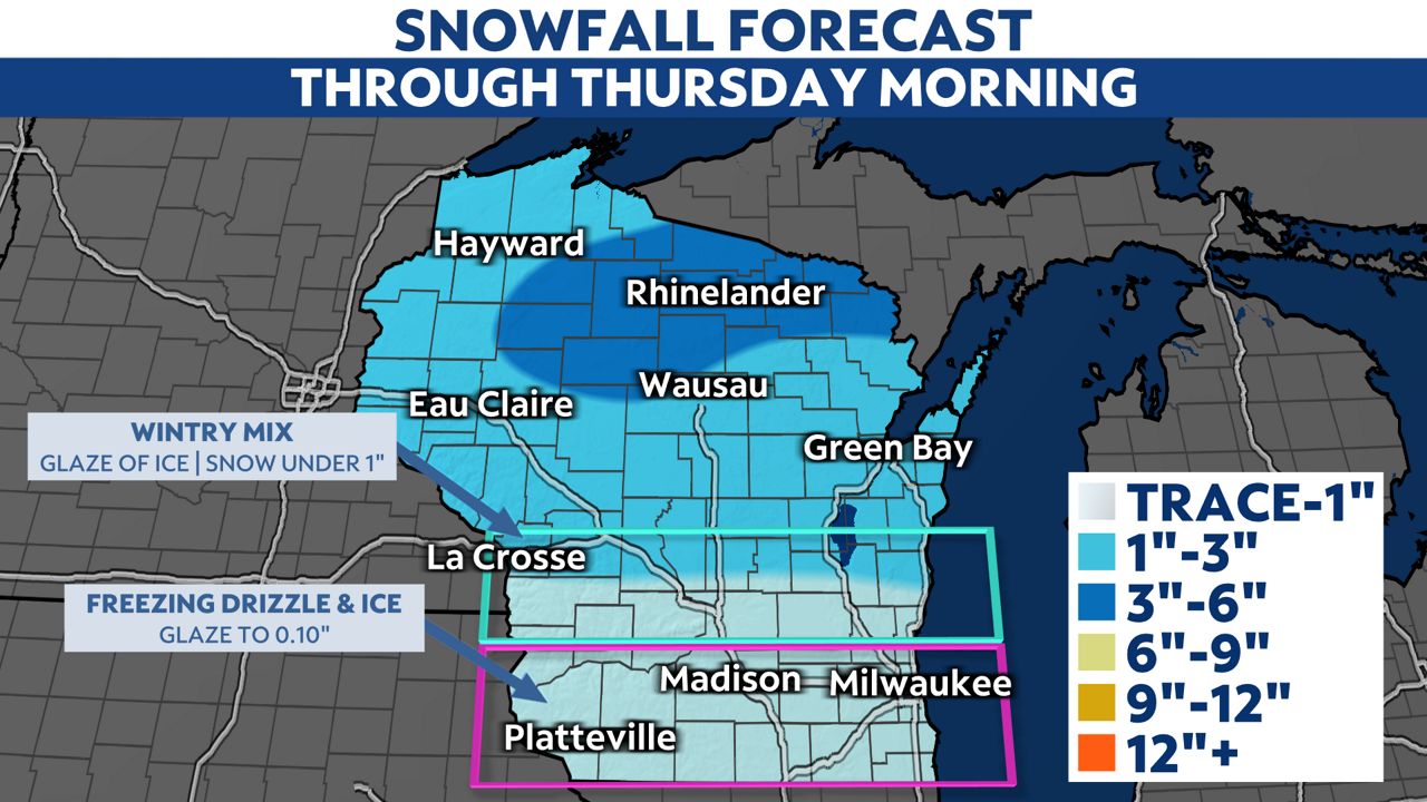
The main window of activity will continue into Thursday morning. Northern Wisconsin will only see snow, whereas southern Wisconsin will see a mixture of snow, sleet and freezing rain.
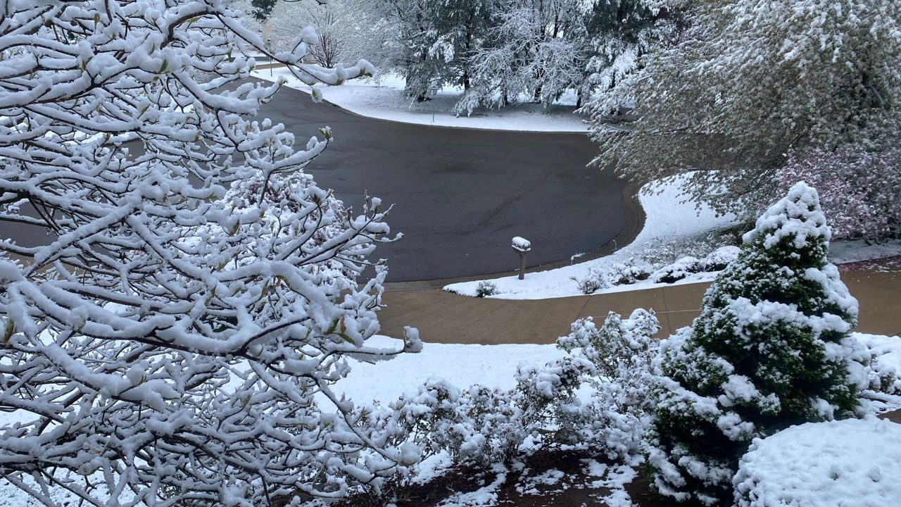
Most of northern Wisconsin will wind up with 1 to 3 inches of snow. Areas around Rhinelander could see closer to 3 to 5 inches.
Due to the wintry mix expected farther south, snowfall totals will be limited. Ice accretion should stay around a few hundredths of an inch, but be cautious, because it only takes a glaze of ice to cause slick conditions on roads and sidewalks.
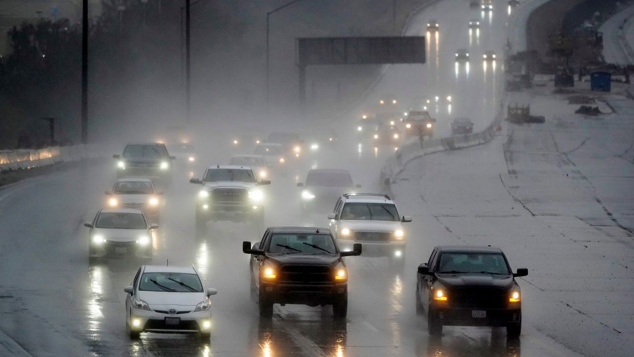
Plan ahead and leave yourself extra time for the Thursday morning commute to account for potential delays and slowdowns.

Conditions will improve as drier air moves in on Thursday. Expect dry and quiet weather to wrap up the week on Friday before our next winter storm arrives Saturday, bringing the threat of widespread snowfall accumulation to the state.
Check your local forecast | Send us your weather photos
Follow the "Weather On the 1s" Team on social media for the latest weather updates:
Meteorologist Brooke Brighton: Facebook | Twitter | Instagram | Threads l Bluesky
Meteorologist Jesse Gunkel: Facebook | Twitter
Meteorologist Kristin Ketchell: Facebook | Twitter | Instagram


