Confidence continues to increase that a strong spring storm system will develop over the central U.S. on Friday, triggering strong to severe thunderstorms across the Midwest.
An upper level low pressure system will move east of the Rockies early Friday morning and intensify as it tracks over the Plains states and the Midwest. A warm front associated with this storm system will lift north during the day on Friday, quickly warming temperatures around the region, with many areas reaching into the 70s by Friday afternoon.
Strong southerly flow will transport a fairly large amount of moisture into the country's midsection and this combined with the warm temperatures and winds of varying speeds and directions at different levels of the atmosphere will create instability and trigger thunderstorms, some of which may be strong to severe.
The areas at the highest risk of seeing severe thunderstorms are south of Wisconsin, from southern Illinois down to Mississippi.
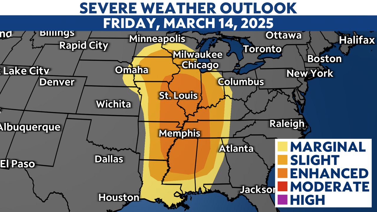
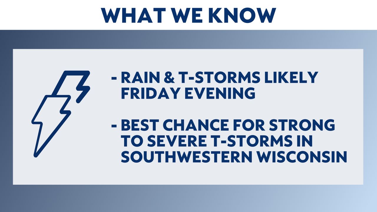
In Wisconsin, strong to severe thunderstorms are still likely given our likelihood of instability in the atmosphere Friday evening into Friday night. The areas at the greatest risk for seeing severe thunderstorms are in southwestern Wisconsin where the the National Weather Service Storm Prediction Center (SPC) has placed that portion of the state under a "Slight" risk for severe thunderstorms. This means that scattered severe thunderstorms are possible.
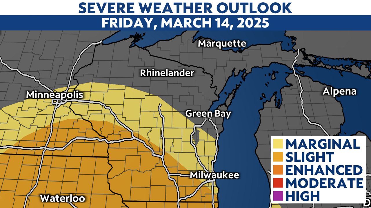
A line of thunderstorms will push into southwestern Wisconsin Friday evening and continue to move northeast. As the line of storms reaches more stable air, they will gradually weaken, but some thunder and widespread rain will still be possible across the state.
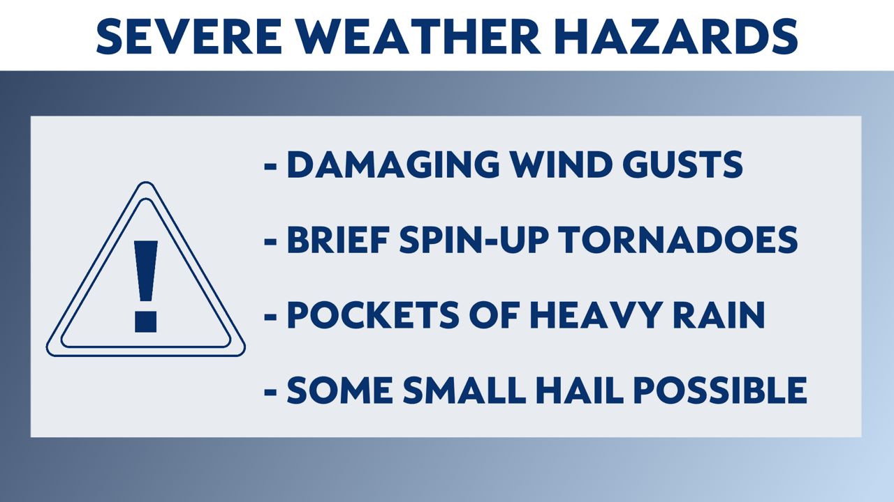
The main threat with this line of thunderstorms is damaging wind gusts of 60mph or greater. Brief, spin-up tornadoes are also possible along the leading edge of the line of thunderstorms. Pockets of heavy rain can be expected within the thunderstorms. The overall threat of hail is low, but some small hail may be possible in the strongest storms.
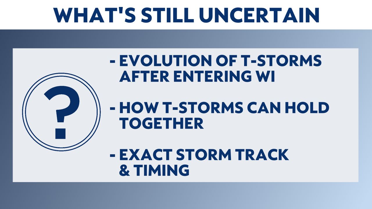
There are still some uncertainties with this storm system that will hopefully become more clear as the system evolves over the next day or so. The severe weather threat is conditional on many factors including the arrival time of the thunderstorms, amount of moisture availability in Wisconsin and the track of the storm system itself. There is also a question of how well the line of thunderstorms is able to hold together as it moves northeast through the state.
The storms are likely weaken as they move northeast through Wisconsin due to cooler temperatures and more stable air. Widespread rain is then likely for much of the state late Friday night into Saturday.
A brief lull in the precipitation may be possible during the day on Saturday but as colder air is wrapped around the system Saturday night into early Sunday, many places across Wisconsin could see the precipitation ending as a brief rain/snow mix or a period of light snow.
Weather models have been in fairly good agreement for several days now about the ingredients being in place for a severe weather outbreak in parts the Midwest on Friday, but there are still some details that need to be fine-tuned as we get closer to Friday and our weather model accuracy grows.
Take time now to make sure you and your family are prepared for the possibility of severe weather. It's a good idea to make sure you have an emergency kit stocked and ready and discuss a severe weather plan with your family in the event that any weather warnings are issued on Friday.
Stay with Spectrum News 1 Wisconsin and your Weather on the 1s team as we continue to track this storm system.