

Impacts from the remnants of Hurricane Helene will continue to impact the commonwealth through the weekend.
We continue to keep a close eye on the remnants of Hurricane Helene as it spins its way through Kentucky.
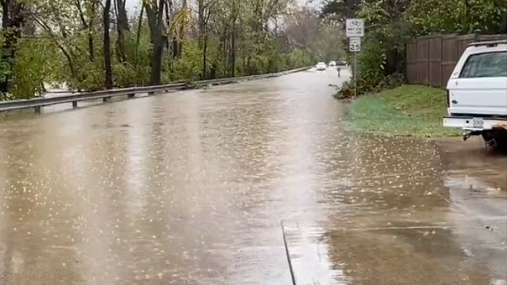
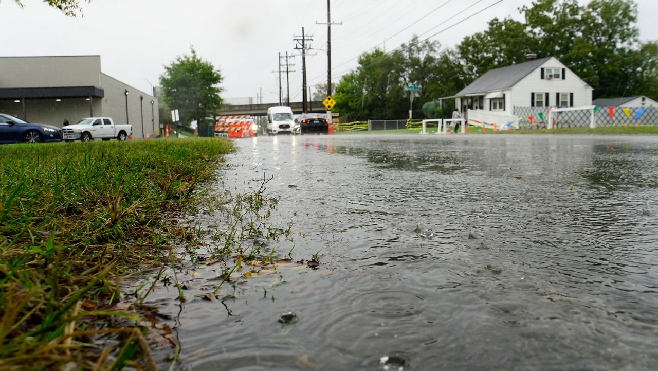
Expect rain of varying intensity throughout the rest of your Friday with winds potentially gusting up to 60 mph in some parts of the state. There could be a break in the rain east of I-65 this evening before rain rotates its way back into that part of the state.
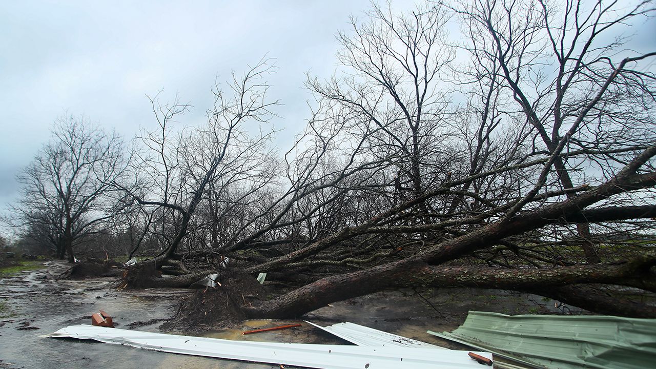
The extremely heavy rain, paired with winds you typically see in a severe thunderstorm will create dangerous conditions at times and could lead to downed trees and power lines, resulting in outages.
Remember to never drive through flooded roadways and across downed power lines.

Thankfully the heaviest rain and strongest rain should ease after midnight and more showery type rain is expected on both Saturday & Sunday.
Our team of meteorologists dives deep into the science of weather and breaks down timely weather data and information. To view more weather and climate stories, check out our weather blogs section.