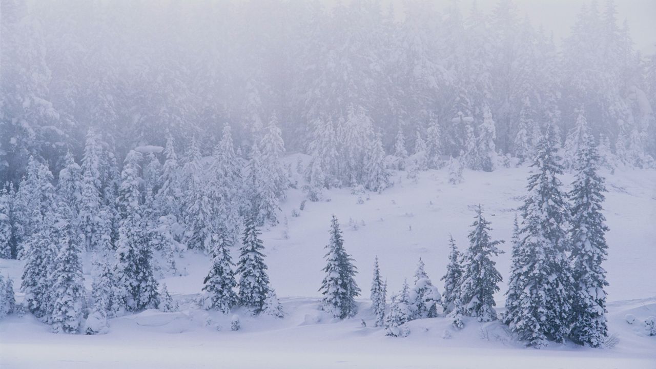
If you're dreaming of a white Christmas in Wisconsin this year, your chances of it happening are pretty high in some areas, but not so much in others.
In order to be considered a "white Christmas," there must be at least one inch of snow on the ground on Christmas Day. Wisconsinites are no strangers to December snow, and although a white Christmas is common in some parts of the state, many places tend to miss out.
In most years, Rhinelander and other cities in the Northwoods have at least one inch of snow on the ground on Christmas Day. In fact, according to NOAA's National Centers for Environmental Information (NCEI), the historical probability of a white Christmas in Rhinelander is 97 percent. Wausau isn't too far behind at 90 percent.
Northwest Wisconsin also tends to have snow on the ground on Christmas Day with the probability of a white Christmas in Eau Claire at 82 percent.
The farther south you live in the state, the lower the chance of a white Christmas. There's a 65 percent chance of a white Christmas in Madison while Milwaukee has less than a 50 percent chance.
So what does 2020 have in store? The odds of a white Christmas are favorable for the northern Wisconsin and even in south-central Wisconsin, thanks to the snow from our December 11-12 storm system that has yet to melt. Our current statewide snow depth shows some pockets of five inches or more still lingering on the ground.
For the rest of us, we will to wait and see. We're tracking a very powerful cold front moving into Wisconsin on Wednesday. At this point, it looks like the precipitation will begin as rain in many areas, before changing over to a rain/snow mix and ending as snow during our morning hours on Christmas Eve.
It's too early to talk about snow totals, but it is possible that we see some light accumulations south with some significant snowfall totals north.
We'll have a better picture as that system develops in the coming days, so be sure to check back for the latest weather updates!


