Get out your 2020 bingo scorecard and see if you had "Dust From Africa Moves Into Wisconsin" on there. Yep, add this to the list of odd/crazy/unthought of things to happen so far this year.
Before we dive into the hype, let's set the stage a little bit.
First, it's quite common for clouds of dust to get pulled from Africa toward the U.S. each summer. It's just part of how the upper-level wind flows across the Earth.
These are what we call the trade winds.

Second, these dust clouds will be higher aloft in the atmosphere, not at the surface. So, don't expect a "dust storm" to happen here.
With that out of the way, let's talk about what is going on currently.
Here is a simplified look of what's happening in the atmosphere as of Thursday afternoon:
See those orange colors in the Gulf of Mexico?
That's the dust in the upper part of the atmosphere!
We can even see it on the visible satellite, but you have to look closely...

See the milky/smoky looking "clouds" in the Gulf and out over the Atlantic Ocean?
That's the dust!
Again, it's common for this to happen, but not usually this much. While our satellite records only go back so far, this is the largest and most dense cloud of dust picked up by satellites since they were launched in 2002. That's what makes this event so unique.
Okay, now where is it headed and why?
Remember that air aloft in the atmosphere over the U.S. flows generally from west to east. But along and near the Equator, it goes from east to west.

Part of that dust in the Gulf of Mexico is going to get picked up by the jet stream and moved across parts of the U.S.
The main forecast models suggest some (but certainly not all) of the dust will get pulled toward Wisconsin. The bulk of the dust will stay in the southern part of the country.
To get a better idea, let's unpack this night by night.
Here is Friday evening:

Saturday evening:

Sunday evening:

Monday evening:

See those faint orange colors moving into Wisconsin?
That would be the dust particles.
Remember, it's going to be higher aloft in the atmosphere, not at the surface. And, it won't be nearly as much as places likes Mississippi, Alabama, and Georgia will see.
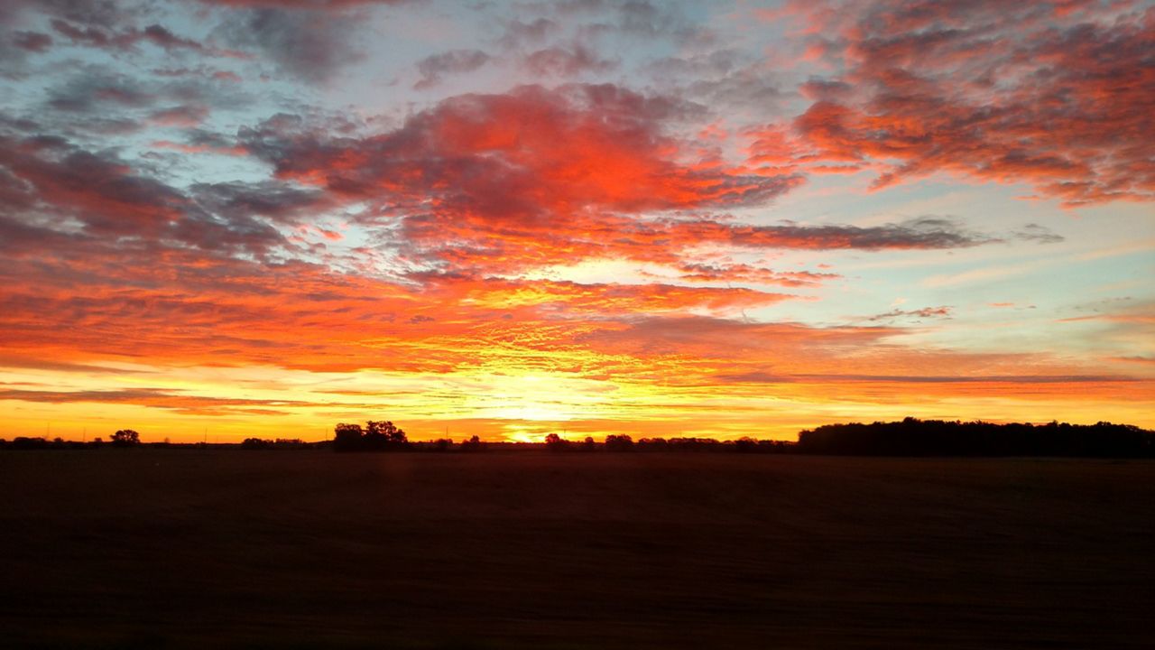
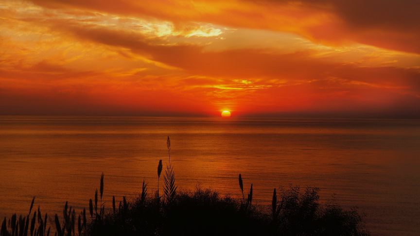
Nonetheless, it may still impact our sunsets & even the sunrises. Of course, if we get rain and thunderstorms, that would mess the whole thing up and we won't see it!
So here's what that boils down to for us:

The bottom line is: we may get some pretty dazzling sunsets Sunday and Monday night.
Get your cameras ready and be sure to send us some photos!
-JD


