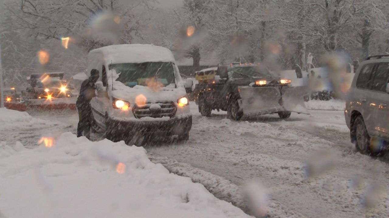
Winter weather makes a big return to southern Wisconsin tonight and Saturday, with snow and ice likely across much of the region.
Several inches of snow are likely to move through southern Wisconsin, starting on Friday night and lasting through the day on Saturday, and snow showers could be heavy at times.
A powerful area of low pressure moving just south of Wisconsin will draw in just enough cold air to lead to a period of heavy, wet snow across southern Wisconsin.
That's led to a winter weather advisory for much of southern Wisconsin for tonight and Saturday, including Madison and Janesville but not including Milwaukee and most of the lakefront.
Initially, a few raindrops could fall in southern Wisconsin on Friday afternoon before the precipitation flips over to snow after dark.
Whatever snow does fall will likely be of the heavy and wet variety, because temperatures will be right around 32 degrees for most of the storm.
Sleet could mix in a few spots as well, though it'll likely be either mainly snow or rain in most areas.
Right along the lakeshore, just enough warm air will likely keep the precipitation as mostly or all rain throughout the event. That means Milwaukee is likely looking at little-to-no snow accumulation, though areas just west of the city could be in for a significant snowfall.
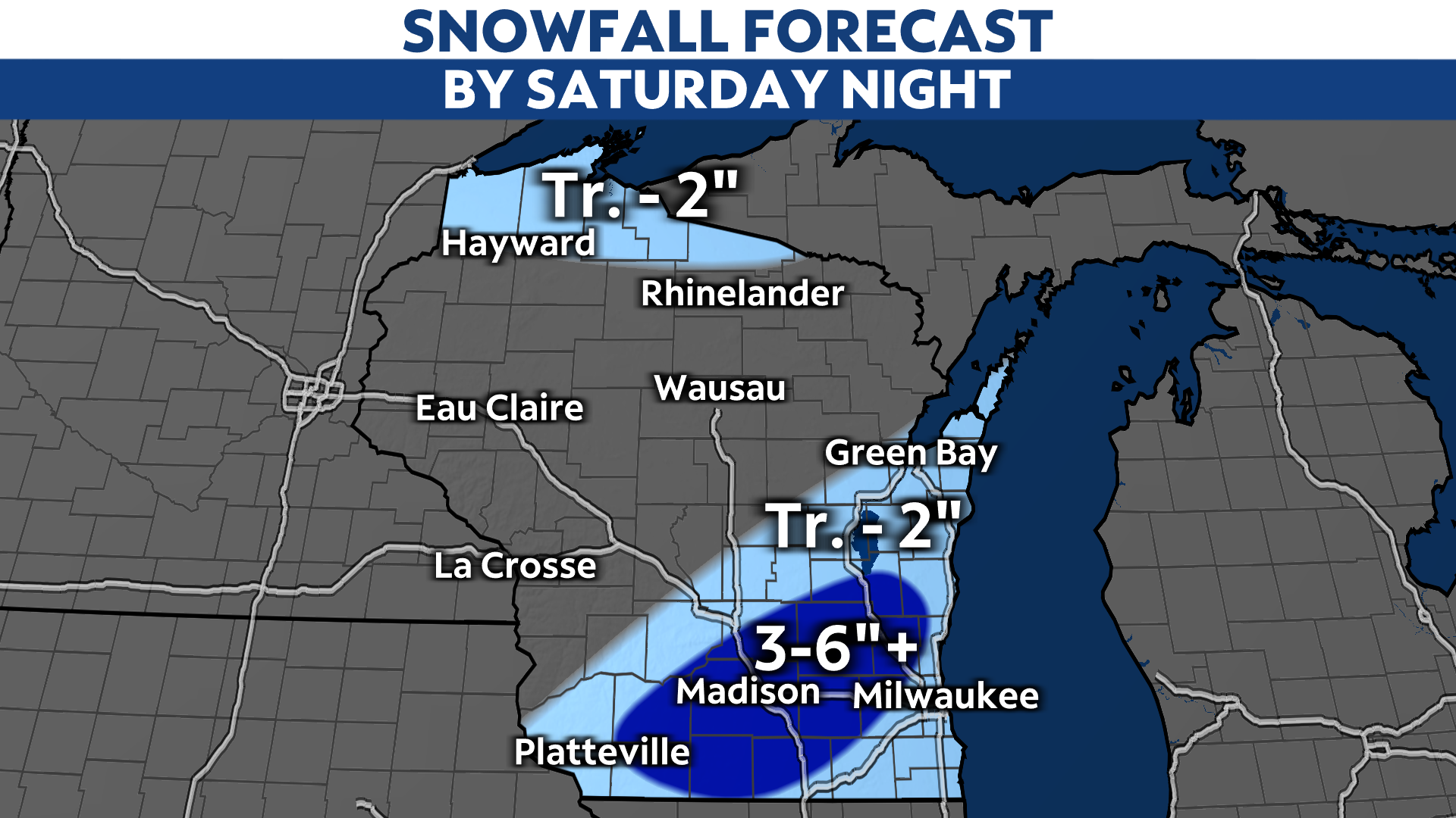
The snow should come to a close across all of southern Wisconsin by dusk on Saturday. The heaviest snow is likely on Saturday morning.
Winds could also gust up to 40 mph in spots, especially on Saturday. That could lead to isolated power outages.
This is an especially difficult forecast, because the band of expected snowfall is extremely narrow, perhaps no wider than 50 miles. That means an adjustment in the forecast track by only a few miles could significantly alter the forecast.
The other big challenge with this forecast, specifically, is that temperatures will be right around the freezing mark of 32 degrees for most of southern Wisconsin during the storm. If the temperature nudges up to 33 or 34 degrees during the storm, that could mean little to no accumulations for most areas.
For more on the challenges of snowfall forecasting in particular, Spectrum News 1 Chief Meteorologist J.D. Rudd has more here.
Stay with Spectrum News 1 for your daily forecasts and the latest on this potential high-impact storm.


