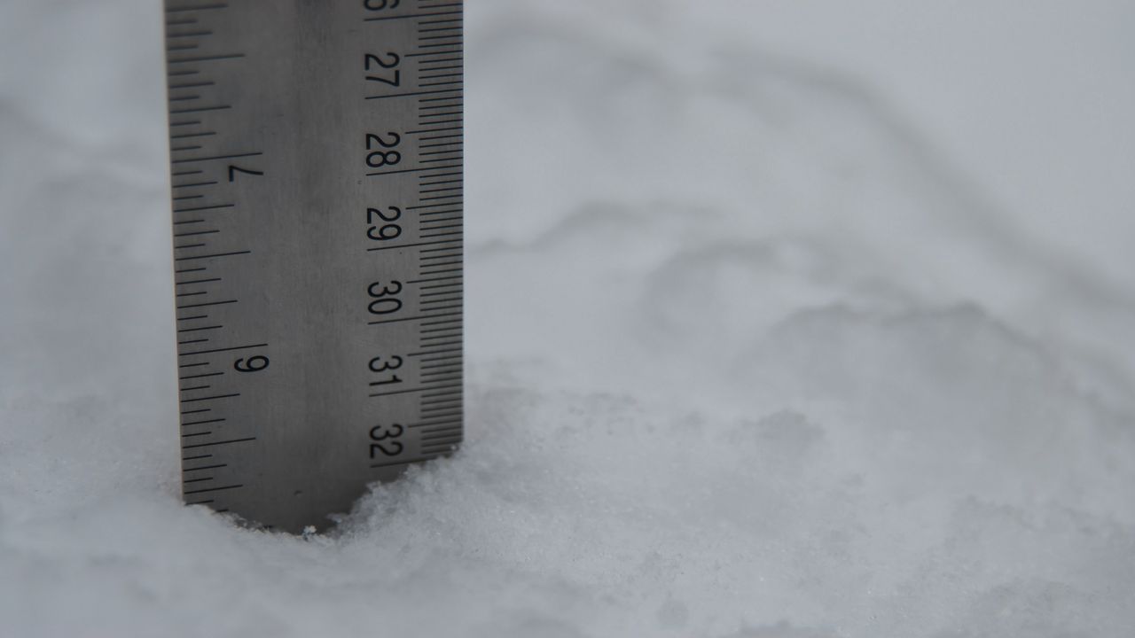
As we turn the calendar to December, we can typically count on our snowfall to start ramping up around Wisconsin, but 2020 has been anything but a typical year.
If we look back to 2019, we notice some obvious differences in our seasonal snowfall totals across the state. If you remember last year, many cities in southern Wisconsin had measurable snow on Halloween followed by several days of accumulating snow through November and early December. A few other storm systems also dropped some hefty snowfall totals farther north.
By this time last year, Milwaukee had already received 13.7 inches of snow. Green Bay topped the list with a whopping 20.2 inches! But so far this season, we've seen an overall lack of snow across a large portion of the state.
One of the only cities in Wisconsin with snowfall close to what is considered normal for this time of year is Eau Claire. 9.3 inches of snow has already been measured there, just about an inch above normal.
Milwaukee, Madison, Green Bay, Wausau, and La Crosse have all seen some snow accumulation, but it pales in comparison to last year's totals by this time and still remains several inches below normal.
So what has caused our deficit, and is there any hope for accumulating snow in the coming weeks?
We had an unusually dry and sunny November that carried over into early December. If you remember back to early November, temperatures in some parts of the state reached into the 70s! We've had a few weak storm systems push through Wisconsin, but nothing of any major significance or that had a statewide impact.
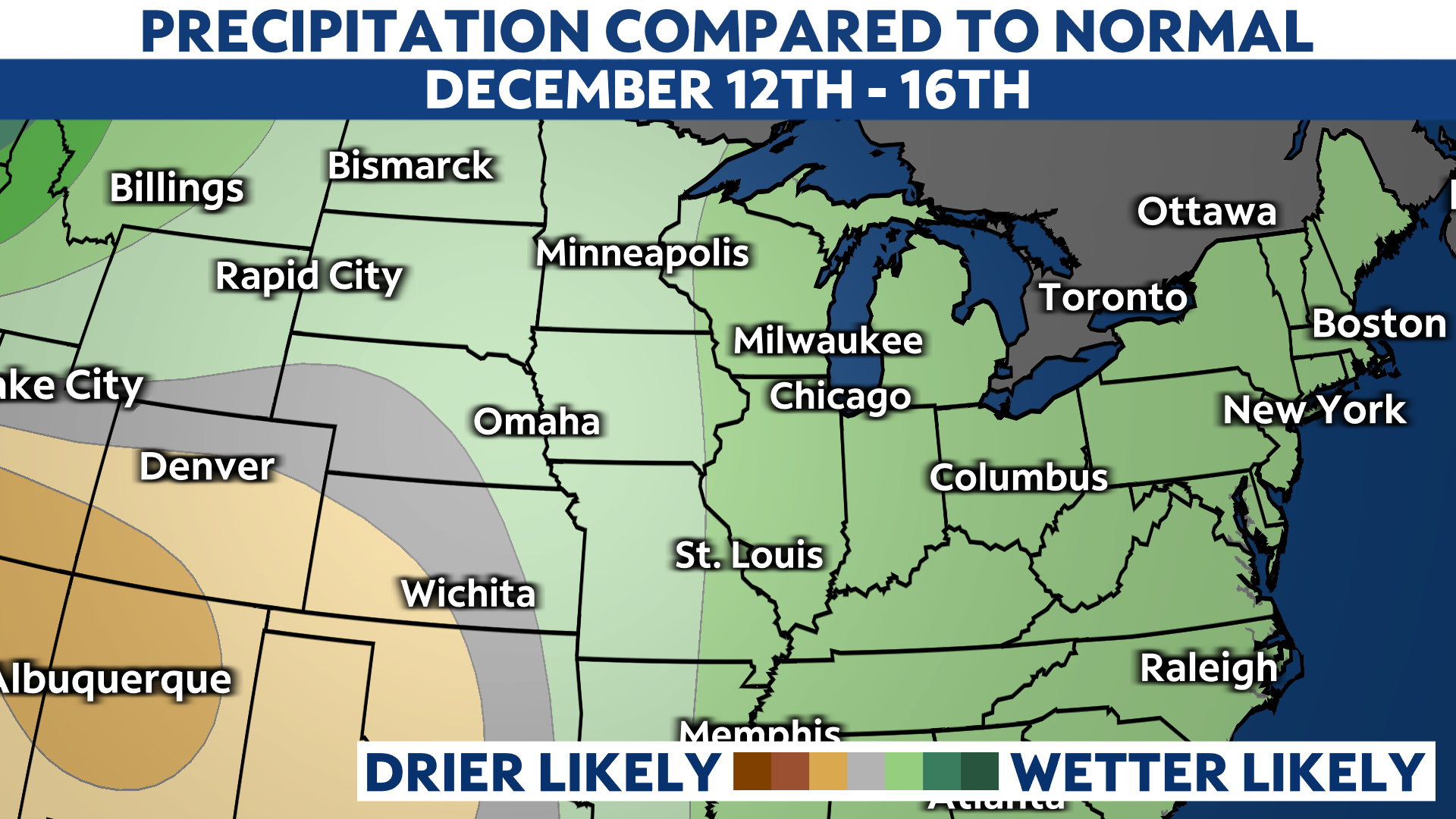
There is some good news on the horizon for snow lovers. Our pattern will become much more active by the end of this week. The current precipitation outlook from the Climate Prediction Center shows a likelihood of above average precipitation December 12 to 16.
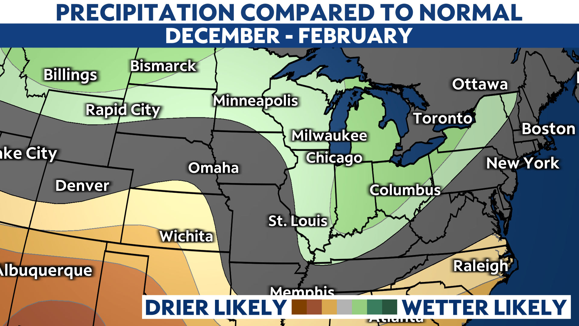
Looking ahead to the rest of the winter, the three-month outlook from the Climate Prediction Center, valid for December through February, also hints at above average precipitation.
Although our snowy season may be off to a bit of a slow start, it looks like we'll have plenty of chances to catch up in the coming weeks.


