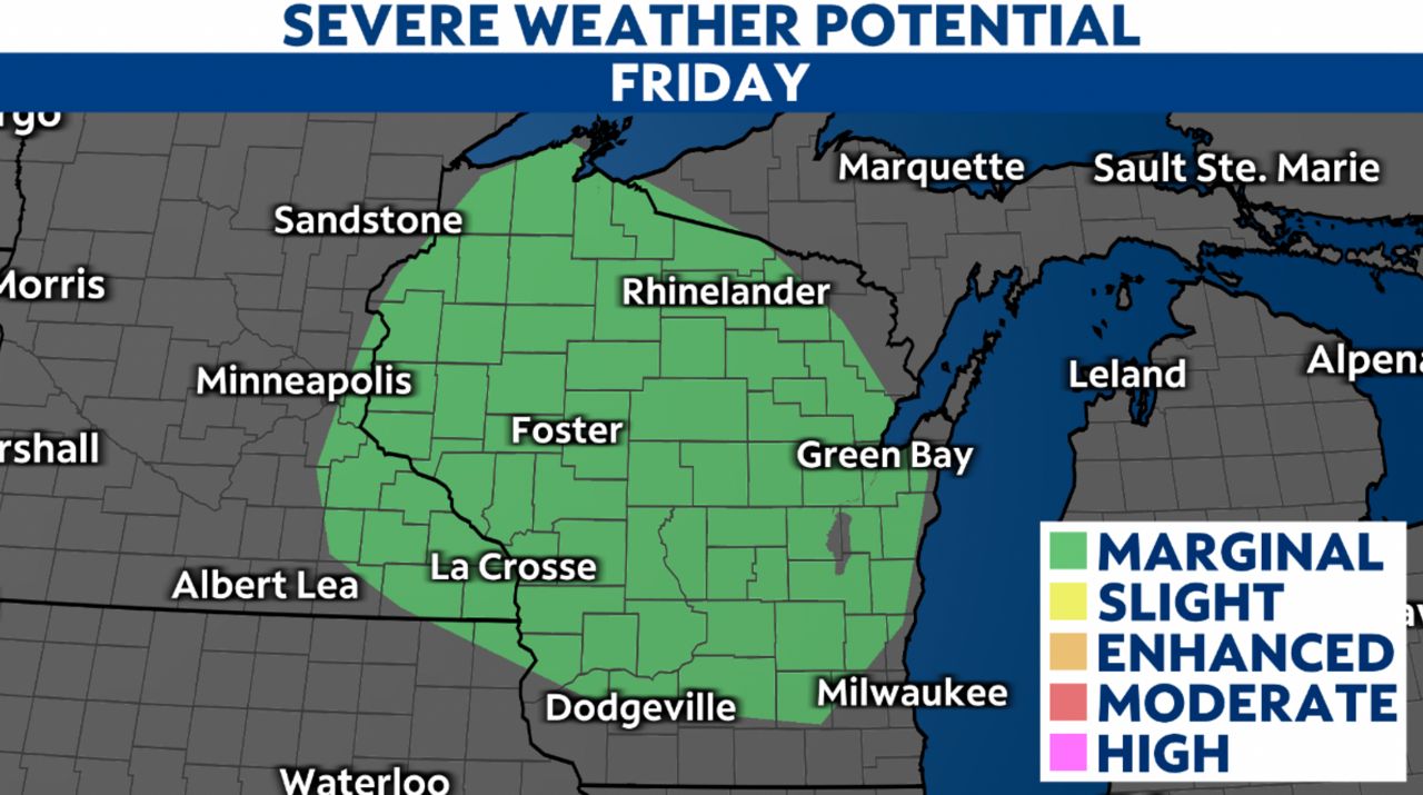
Storms throughout the state could bring damaging winds, hail and localized flooding Friday night into early Saturday morning.
Most of the state is under a marginal (level 1 of 5) threat of severe weather. The main threats for today will include damaging winds and large hail, but we don't expect a tornado threat.
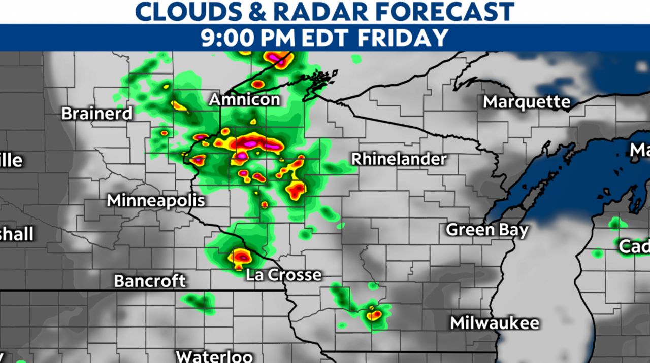
We saw some storms in the morning hours, but look for more activity into the evening. Warm temperatures and humid conditions will help storms form as the day goes on.
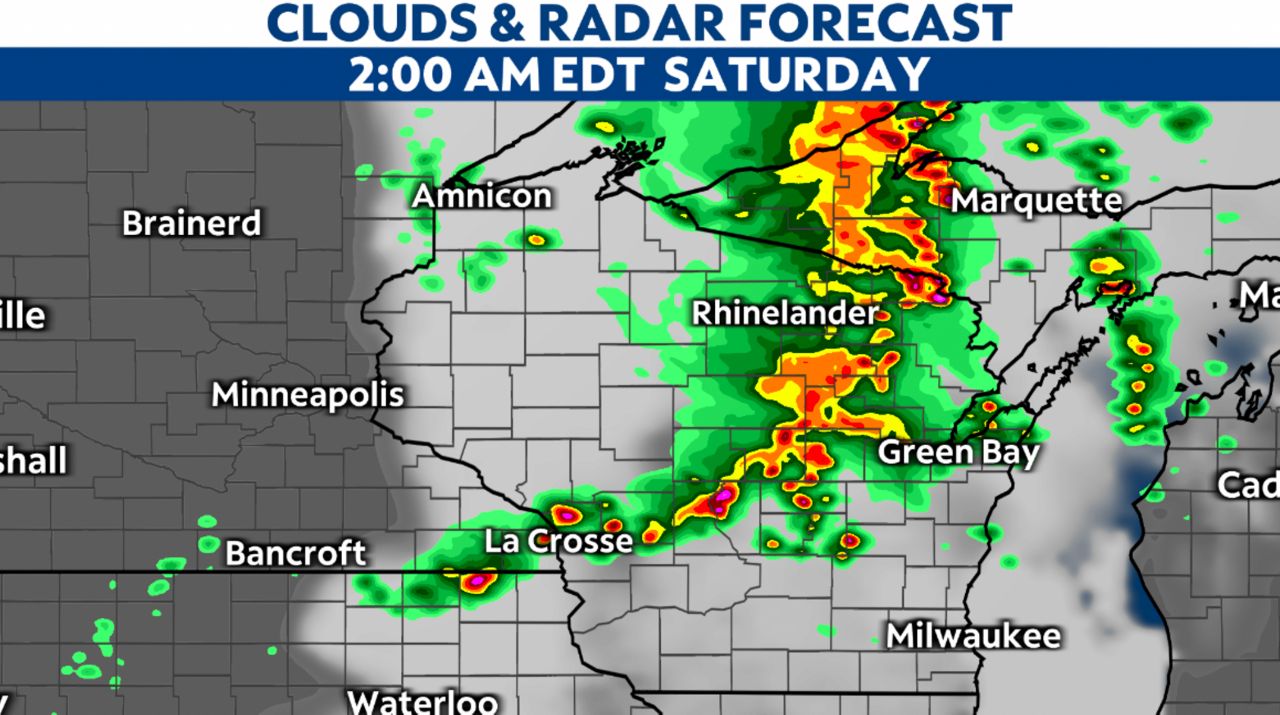
We'll have some scattered showers and storms through dinnertime and the rest of the evening, but a bigger band of storms will move in later tonight.
These are the storms that could bring the potential of severe weather.
Some storms could contain heavy rain, and we'll have to watch out for the potential of localized flooding. Remember, if you have to drive and encounter a flooded roadway, do not drive through the water.
You never know how deep the water is or if the road below has become damaged.
Stay weather aware if you have outdoor plans, and move inside if you hear thunder.
It's not until around 7 a.m. Saturday morning when the storms will calm down. Some areas may wake up to showers, but most of the state start the weekend off dry.