Although not as frequent in Wisconsin, lake-effect snow can occur when the wind direction is just right.
Each winter folks living to the east and southeast of the Great Lakes get buried by lake-effect snow, while here in Wisconsin, we often get left out. So, why is that? It all has to the do with the prevailing winds.
Typically the wind blows from west to east across the U.S., and as these winds cross over the Great Lakes, they pick up moisture that often leads to higher precipitation amounts downwind.
When it comes to Lake Michigan, locations east of the lake across Michigan see significantly higher snowfall totals during the winter than those living to the west of the lake. Wisconsin's location means that it is much less common for us to get lake-effect snow.
However, if the pattern is just right, and we can get a northeast wind, that's when it becomes our turn for some lake-effect fun!
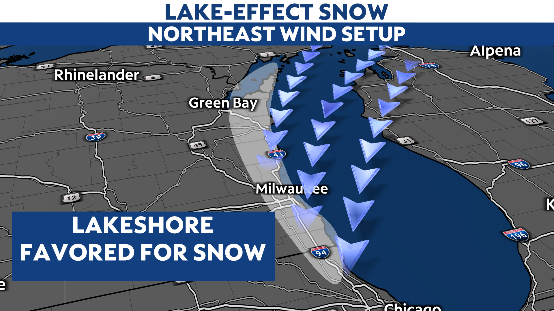
It takes more than just a northeast wind to generate lake-effect snow. Air temperatures must be cold enough, water temperatures of the lake warm enough, and there has to be enough moisture throughout the atmosphere to support the snow.
In general, the larger the difference in temperature between the air and the surface of the lake, the more intense the bands of lake-effect snow can become.
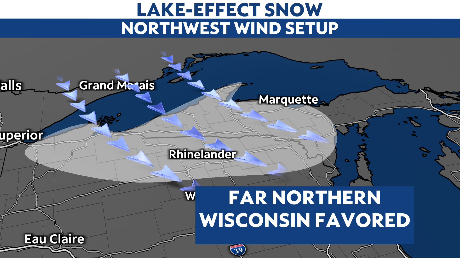
Lake Superior comes into play for northern Wisconsin when we get a northwest wind, and this pattern is a frequent one during the winter. Unlike those living along Lake Michigan where lake-effect snow is rare, downwind of Lake Superior, it is far more common.
If you want a guaranteed White Christmas, this is the place to be!


