As Ohio moved toward the peak of summer in July, it was clear that there had been a major weather pattern change across the state.
Our spring had been one of the wettest on records in some places which slowed down farmers as they had to wait for fields to dry.
In the month of May alone, Columbus recorded over six inches of rainfall, over two inches above normal. Cleveland recorded nearly seven inches of rainfall during the month of May.
But in June, Mother Nature turned off the spigot.
Almost all locations in Ohio recorded well below-normal precipitation during the summer months with some isolated exceptions. As the summer weeks dragged on with little rainfall, drought conditions began to expand.
As the summer wanes, the spigots have been turned back on and the rain has returned.
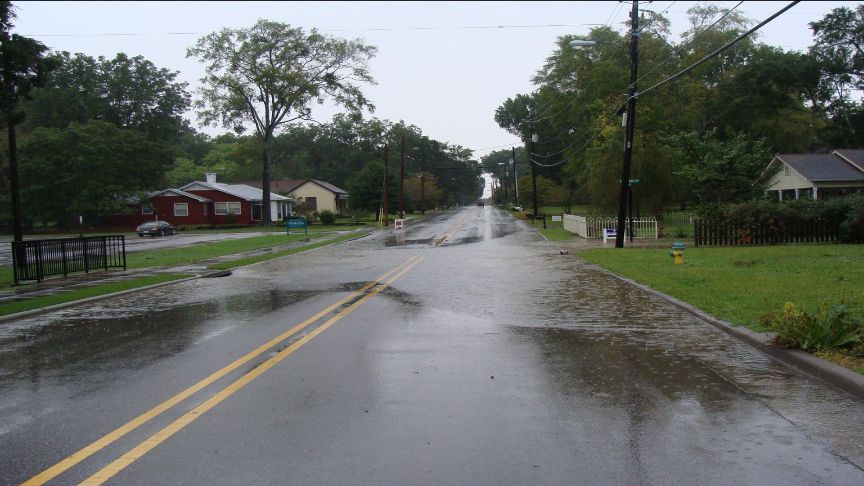
In the first 10 days of September, parts of Ohio received around three months’ worth of rain. As you might have guessed, this led to some significant flash-flooding, especially in the Cleveland metro area on Labor Day.
Later that night, another wave of heavy rainfall led to flooding in parts of western and central Ohio. The map below shows the rainfall amounts that fell in a 7-day tme period from Sepetember 3rd through the 10th.
Despite the unstable weather throughout 2020 so far and a late start to planting, the latest Ohio crop report shows most corn and soybean crops across the state in fair to good condition. In fact, crops appear to be fairing a bit better than 2019, according to the latest report released September 8th by the USDA.
As we head into mid-September, it appears the rains may stick around. The latest 6 to 10 day outlook indicates an increased threat of above-average precipitation.
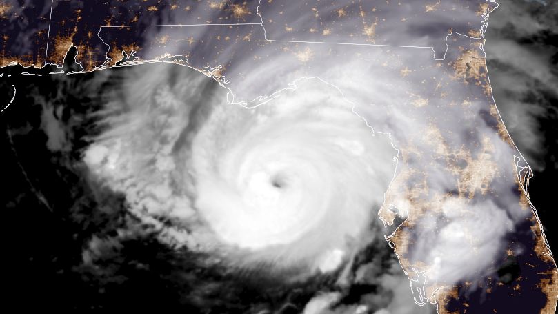
Another area to watch over the coming weeks will be any tropical systems that approach the United States.
Ohio does have a higher likelihood of being impacted by the remnants of tropical systems in the months of August through October. Such systems could increase the threat for flooding rains.


