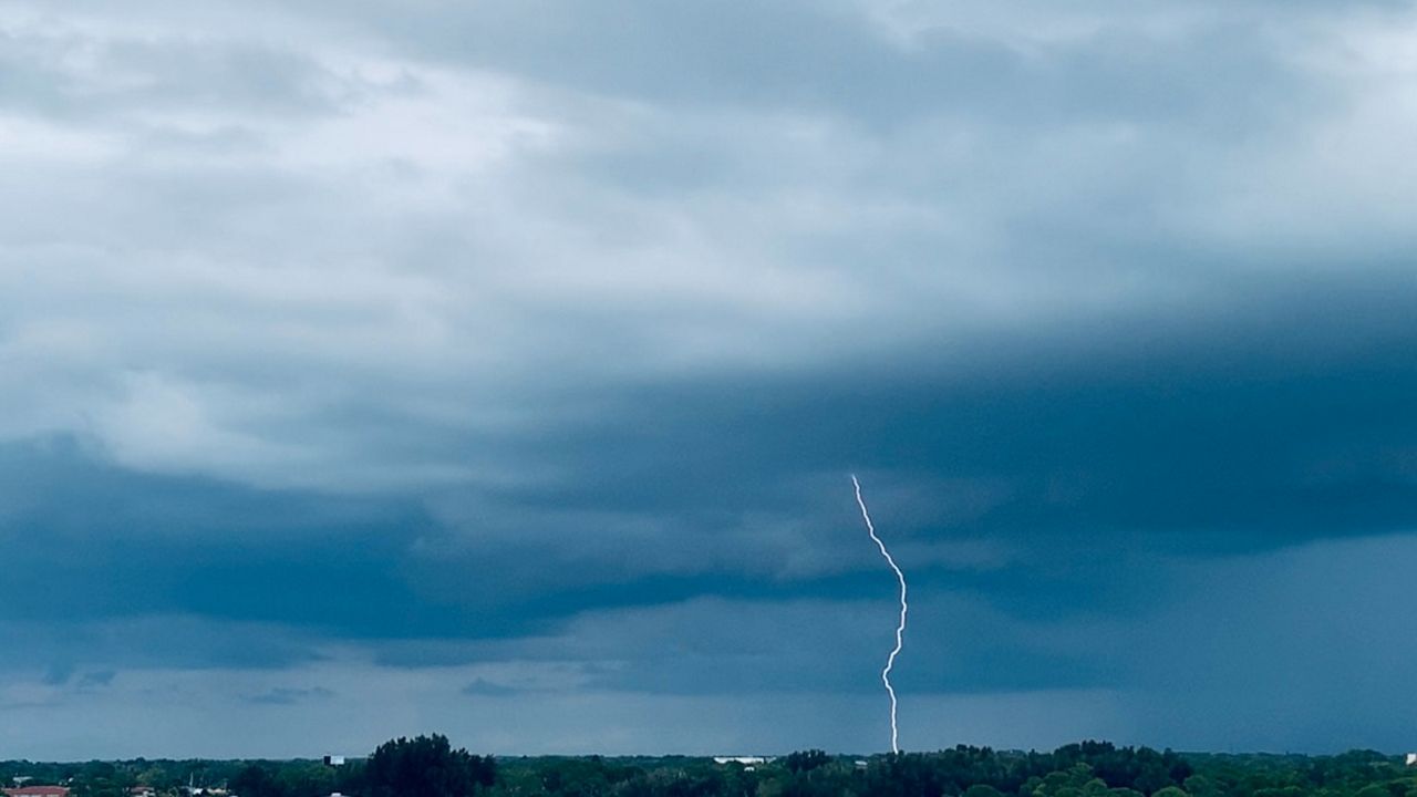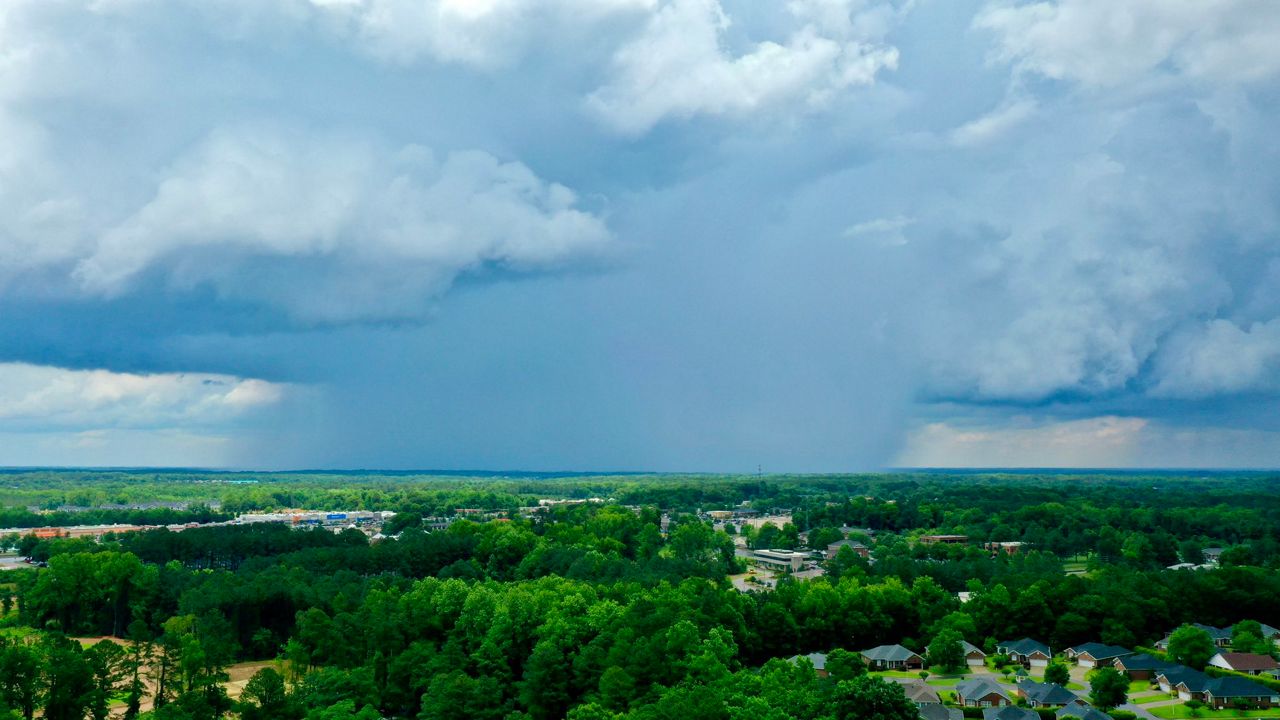
The remnants of Beryl will affect the state today and tonight, with scattered showers and severe thunderstorms.
Beryl will pass by to our northwest through tonight. As a result, we are on the right front quadrant of the system. That means severe thunderstorms are possible.
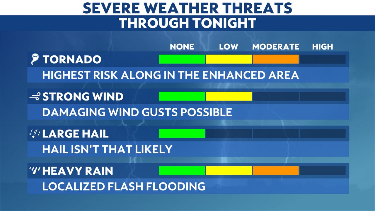
With the inherent spin of Beryl, a few brief tornadoes are expected. That is especially true along the Ohio River and southwest Kentucky. The greatest risk lies near Louisville and points to the southwest in western Kentucky.
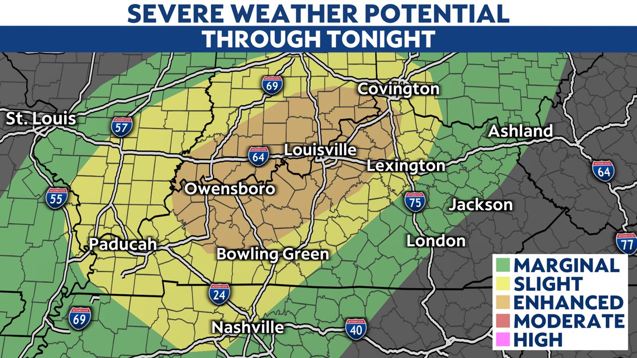
The Storm Prediction Center has outlined these areas in an enhanced risk (or level 3 out of 5).
Besides the severe risk, localized flash flooding is possible with heavy tropical rain. The heaviest rain will fall along the Ohio River, closer to the track of Beryl.
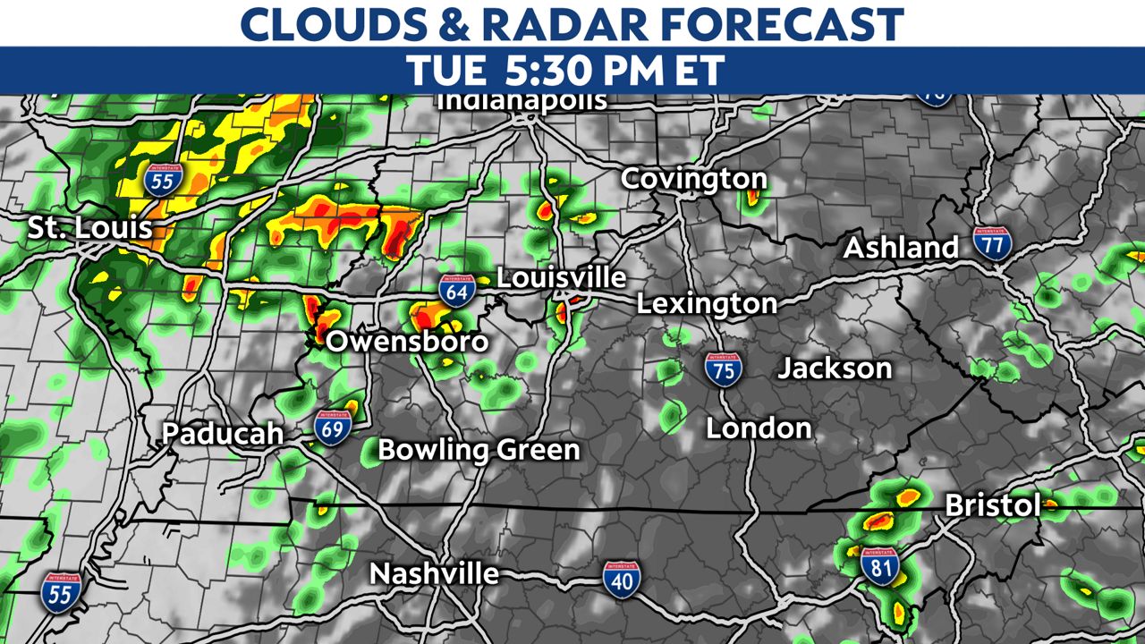
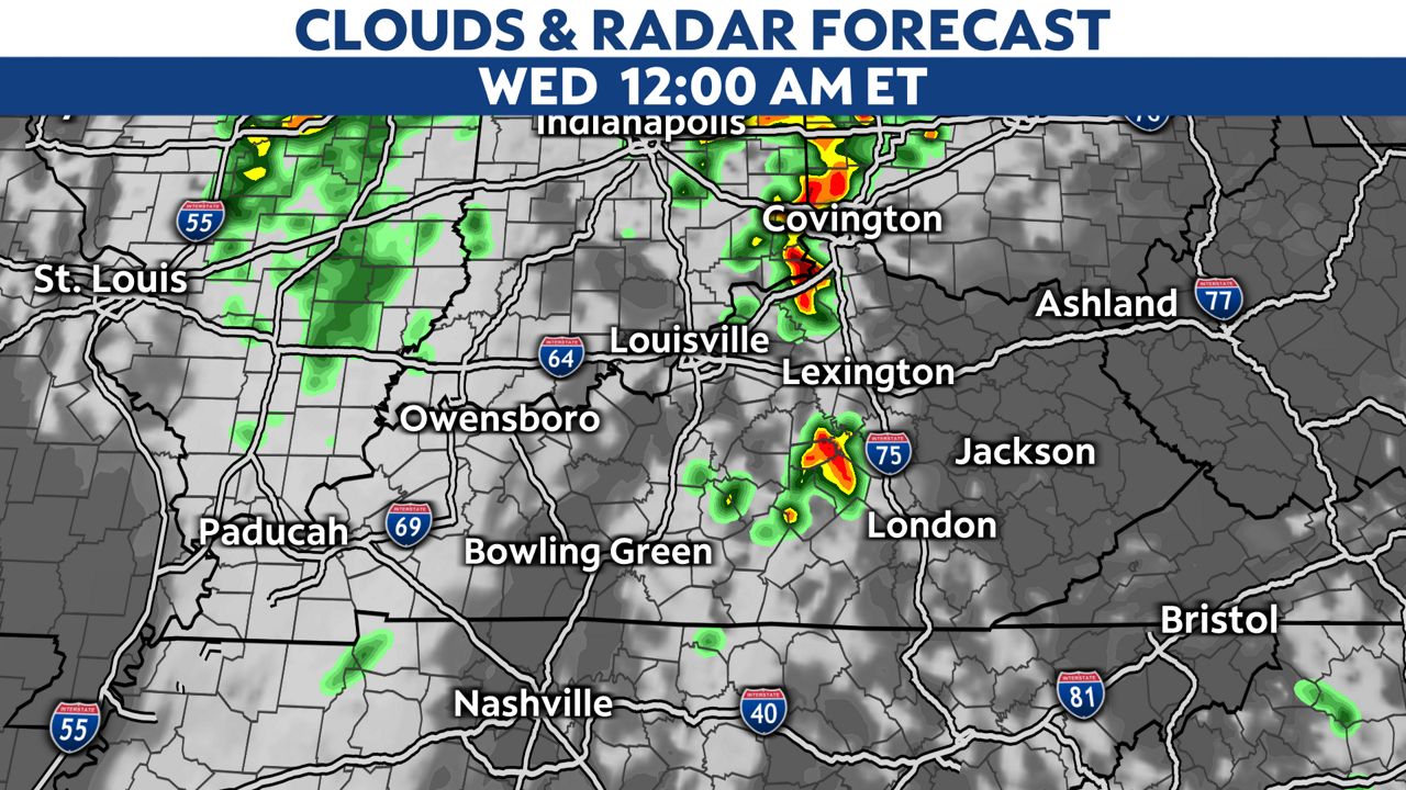
The threat will continue well into the night. The storms will finally weaken and exit eastern and northern Kentucky after midnight.
Our team of meteorologists is here to bring you the latest.

Stay weather aware and prepare ahead of time before severe storms arrive. Sign up for weather notifications to receive the latest weather updates, and keep up with this article for the latest details on this event.
Our team of meteorologists dives deep into the science of weather and breaks down timely weather data and information. To view more weather and climate stories, check out our weather blogs section.