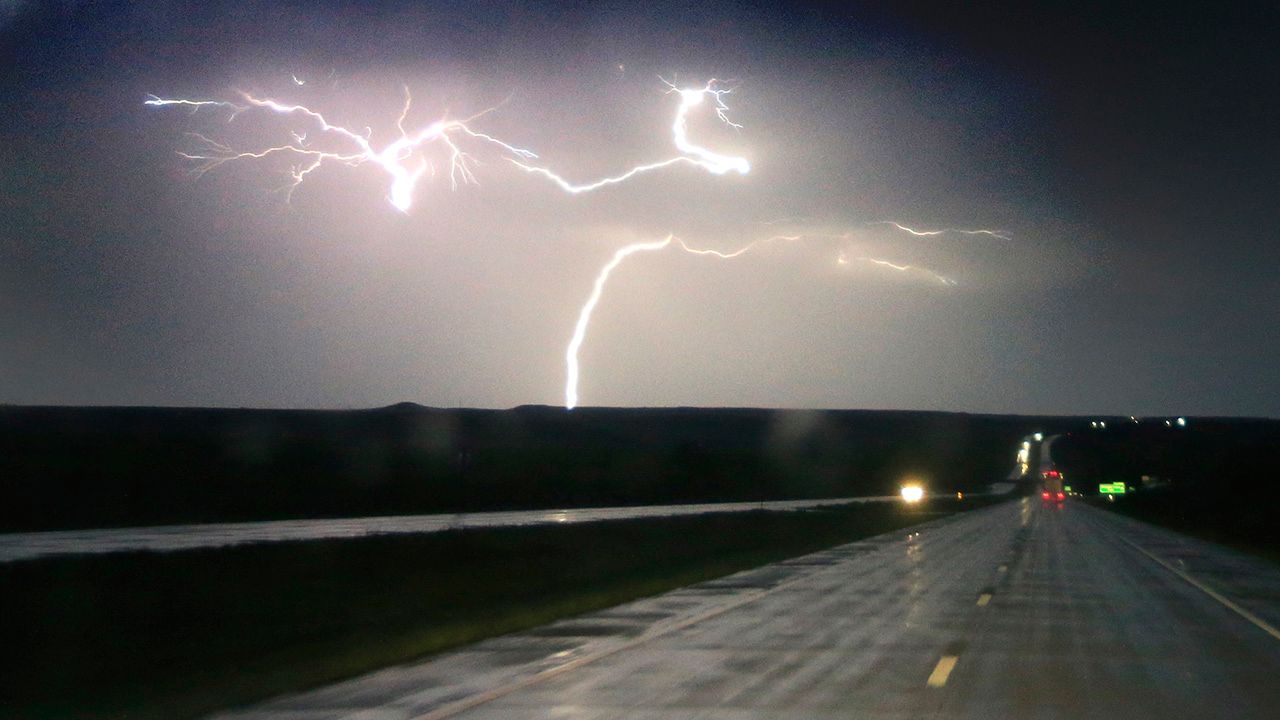
Be prepared for severe thunderstorms and heavy rain into the evening and overnight.
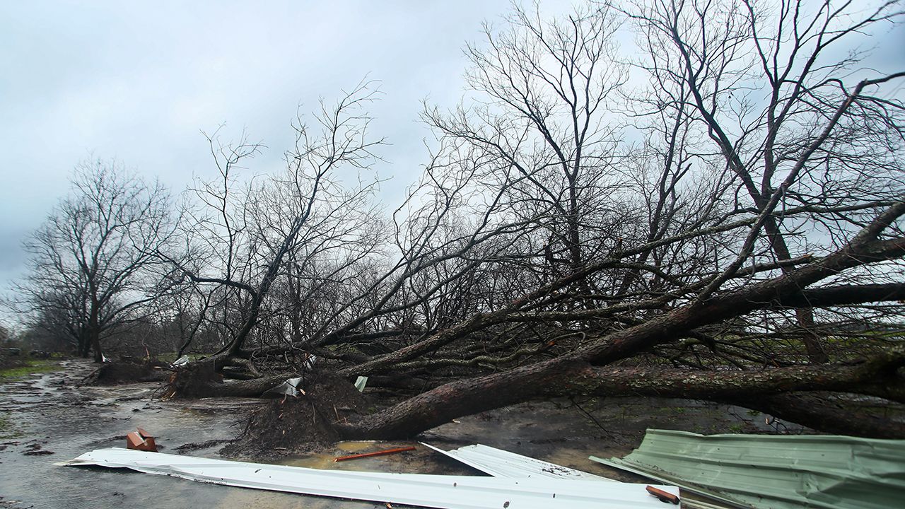
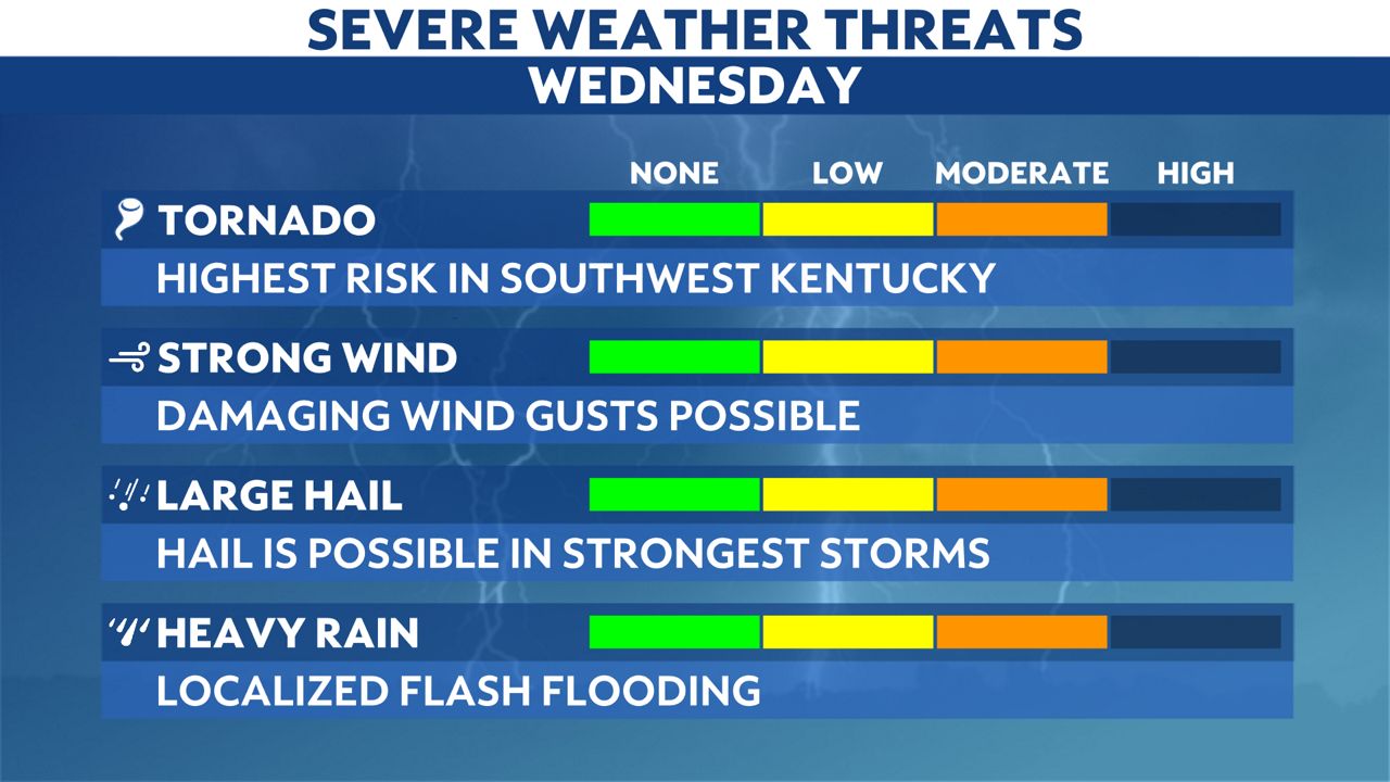
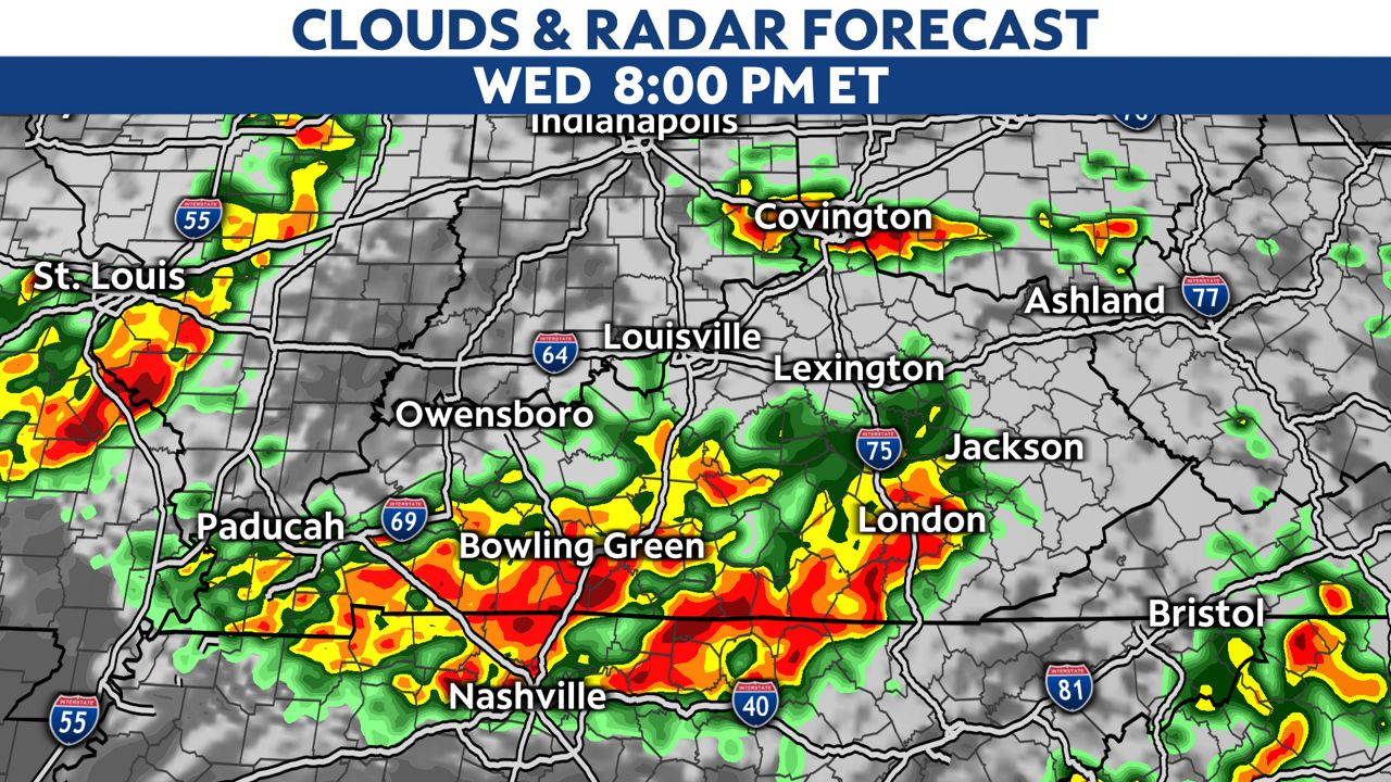
Thunderstorms will continue to develop and move over the state this evening into the overnight. First in southwestern Kentucky, and then points north and east from there. Damaging winds, hail and strong tornadoes will all be possible.
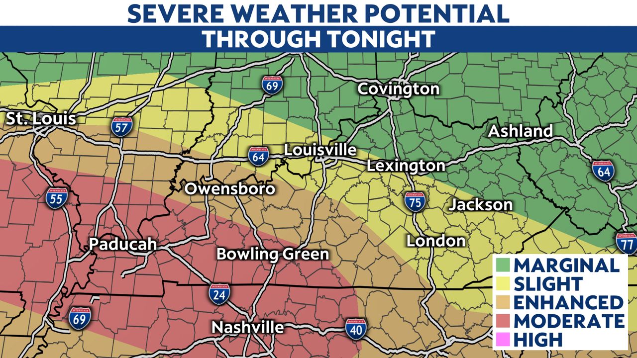
Most of Kentucky is under an enhanced, or level 3 out of 5 risk for severe storms today. SPC has upgraded southwest Kentucky to a moderate risk (level 4 out of 5).
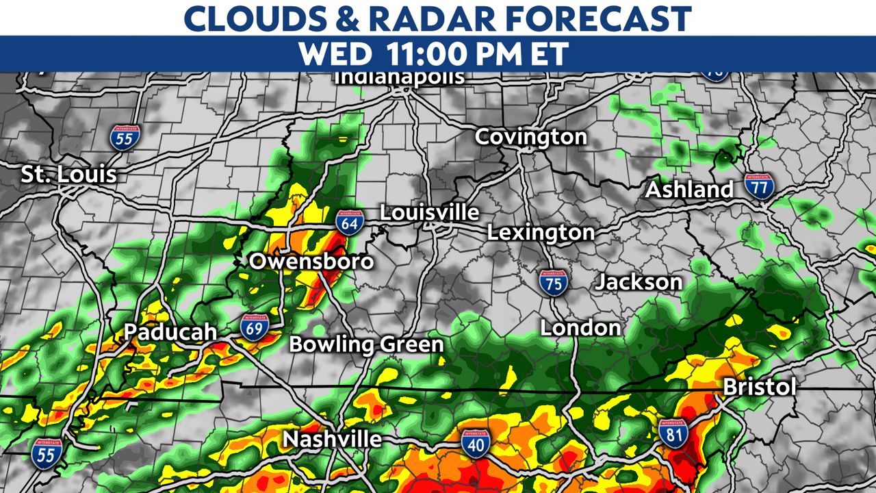
Here is a look at the time line of the storms this evening into tonight.
Eventually, toward midnight and thereafter, the severe risk will quickly come to an end.
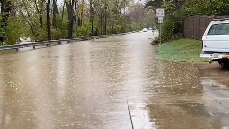
Besides the severe risk, flash flooding will be a concern with very heavy downpours. Rainfall totals of 1 to 3 inches is likely, with locally higher amounts possible. A Flood Watch is in effect until Thursday morning for all of Kentucky.
The severe weather threat will end very early Thursday morning. Back to quiet and cooler weather Thursday into Friday.
Our team of meteorologists dives deep into the science of weather and breaks down timely weather data and information. To view more weather and climate stories, check out our weather blogs section.