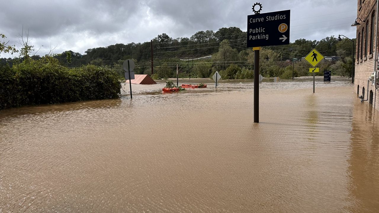


Once the calendar flipped to November, many folks were eager to put up their Christmas decorations.
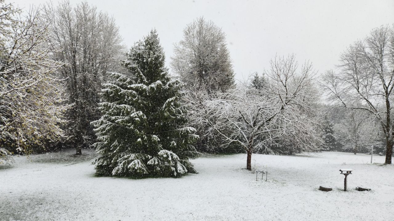
We have yet to see our first snowfall of the season. It's hard to think about snow when our temperatures have been well above our average. In fact, we will be close to a record high around the state today, with many close to that 80-degree mark!
As we look back through the record books, in years past, we have had snow as early as October. Lexington had the earliest snow on record back on Oct. 6, 1952.
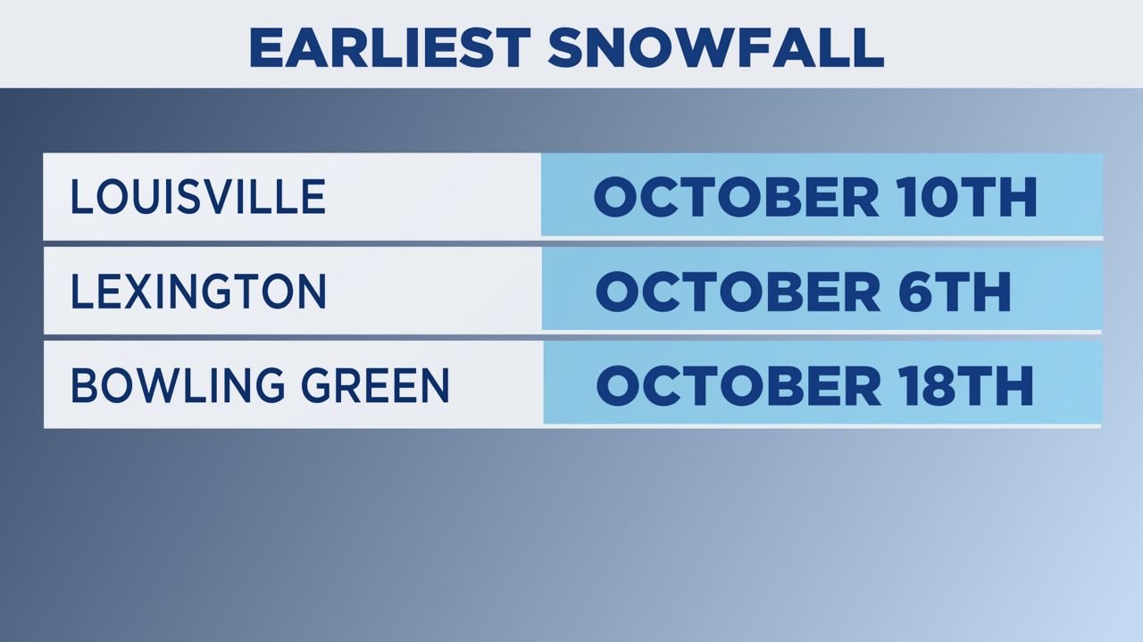
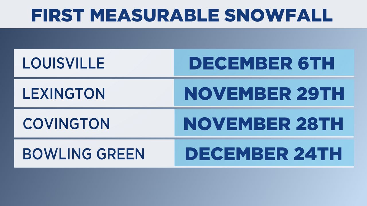
Typically, we have to wait until the end of November and beginning of December to pick up measurable snowfall. Bowling Green is usually the last one to see measurable snowfall, waiting until around Christmas time.
And as we look at the forecast over the next few weeks, there are no signs of any cold signals. The trend seems to point to above average temperatures until right before Thanksgiving.
-3)
Of course, stay tuned to the forecast for any changes that might be ahead, especially as we move through December. I know many are hoping for a white Christmas!
Our team of meteorologists dives deep into the science of weather and breaks down timely weather data and information. To view more weather and climate stories, check out our weather blogs section.