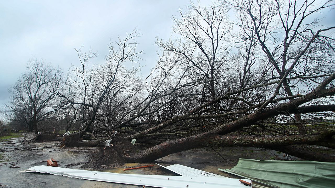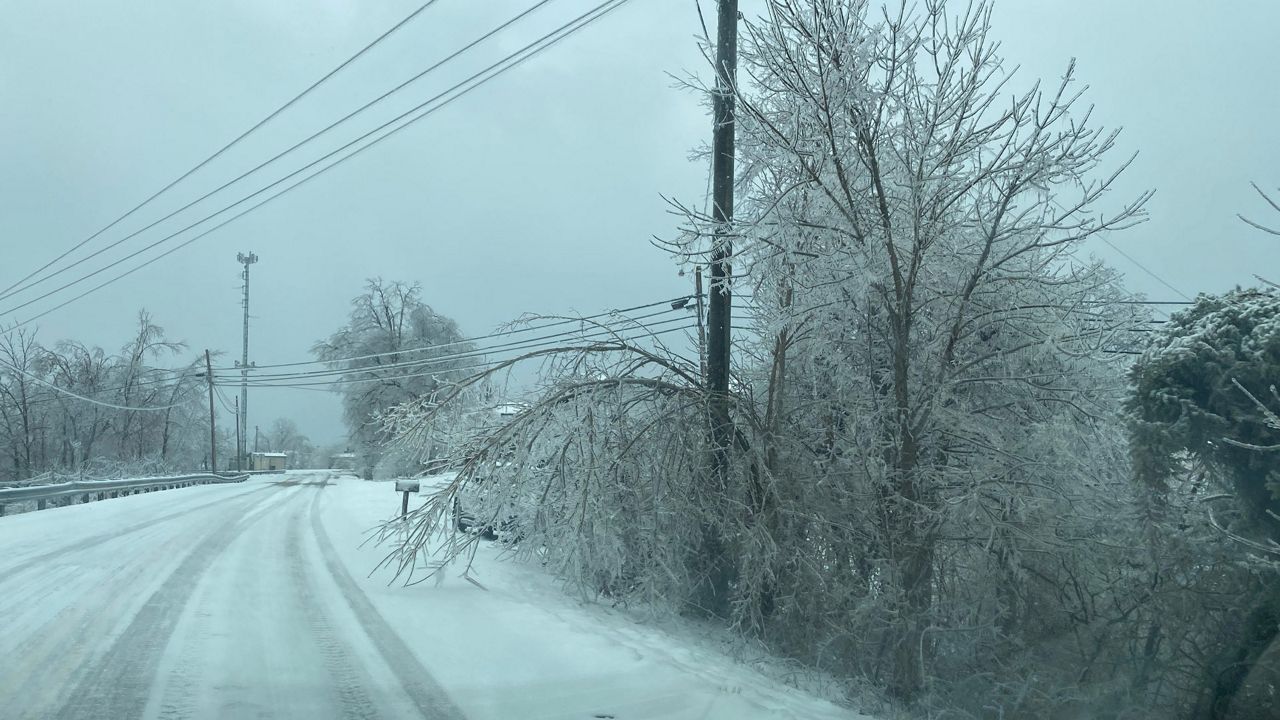


Our weather pattern was very active over the last couple of winters, with everything from ice storms to tornado outbreaks. One big difference this year, compared to the last couple, will be the influence of El Niño.
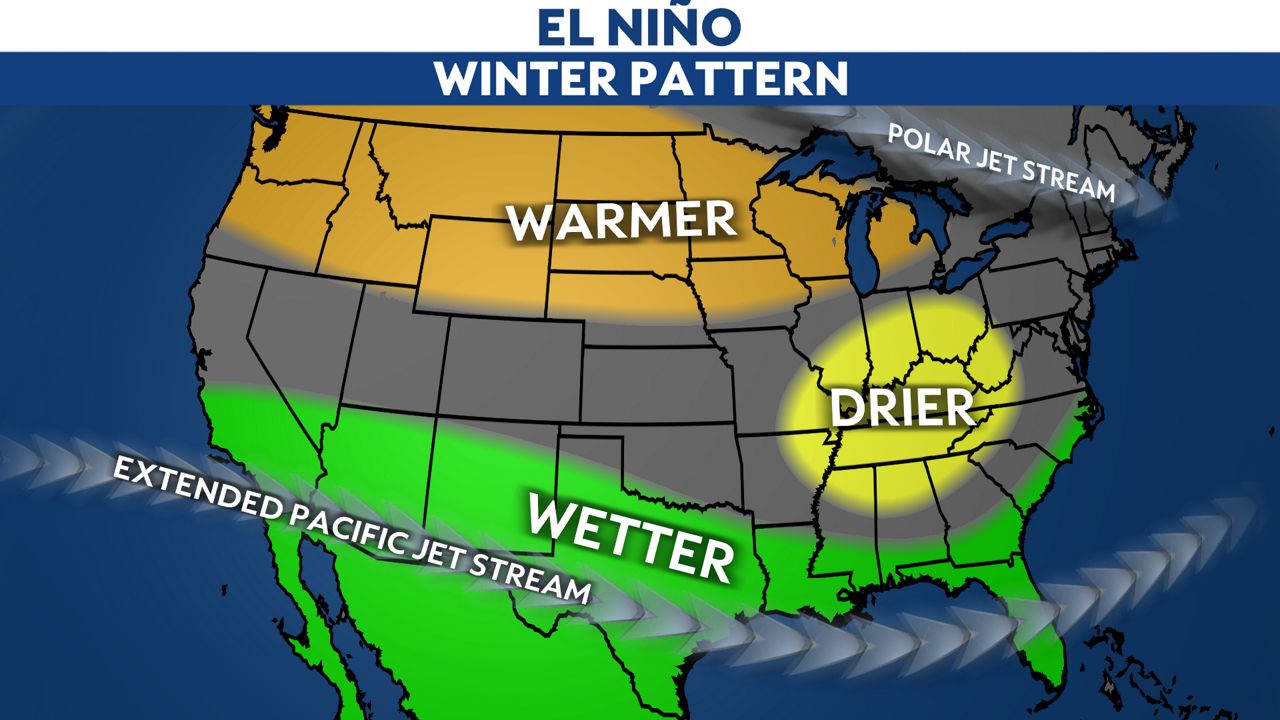
During an El Niño phase, warmer than average surface water temperatures are found in the equatorial Pacific. This is opposite of La Niña, which is when cooler than average water temperatures are observed in that part of the world.
These patterns affect the weather pattern across the globe. While no two winters are ever exactly the same, past El Niño’s have led to wetter than average conditions across the southern U.S. and warmer and often drier than average conditions across the northern part of the lower 48.
For Kentucky, it often leads to a drier than normal pattern throughout the winter, as seen below.
That matches up fairly well with the latest precipitation outlook from the Climate Prediction Center, which shows a good chance of above-average precipitation across the southern U.S. and drier than normal conditions from Kentucky through the Great Lakes for December through February.

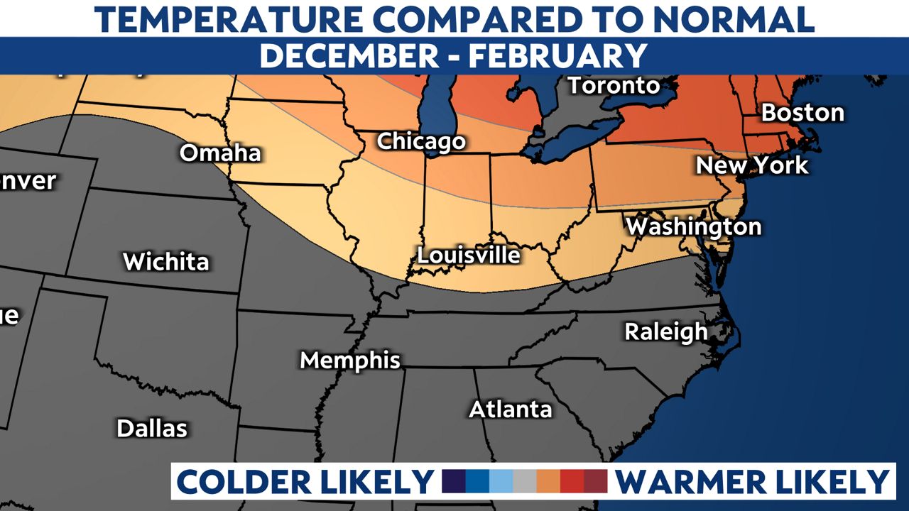
The Climate Prediction Center’s temperature outlook also matches up fairly closely with the temperature pattern we would expect to find during a typical El Niño winter.
The temperature outlook for December through February signals that warmer than average temperatures will be possible from Kentucky to anywhere north of the Commonwealth.
Even with a winter outlook that shows the potential for drier than average conditions and warmer than average conditions for Kentucky, there will likely still be cold snaps and storm systems that produce wintry precipitation.
This simply suggests that when you look at the season as a whole, the above-average days will likely outnumber the below-average days and we will see less precipitation overall than we do in a typical winter in Kentucky.
Our team of meteorologists dives deep into the science of weather and breaks down timely weather data and information. To view more weather and climate stories, check out our weather blogs section.