

We started 2022 with Tornado Warnings and ended with the coldest air of the year with snow.
It was a rough start to 2022 in January. On New Year's Day, we had 8 tornadoes, of EF0 to EF1 strength, along with 2 to 4 inches of rain that drenched the state. Just 5 days after that, we were digging out from snow. We had a band of 6 to 10 inches that stretched from Elizabethtown to Lexington.
In February, we had a cold front that brought one of the wettest days of the year. Rainfall amounts were between 2 to 3 inches.
On April 13, nine brief tornadoes developed from Larue county to Shelby county.
In June, we dealt with an intense heat wave. The combination of heat and humidity pushed our heat index values over 110 degrees on June 13. Louisville stayed at or above 80 degrees for a record 120 consecutive hours. There were also many warm daily low temperature set!
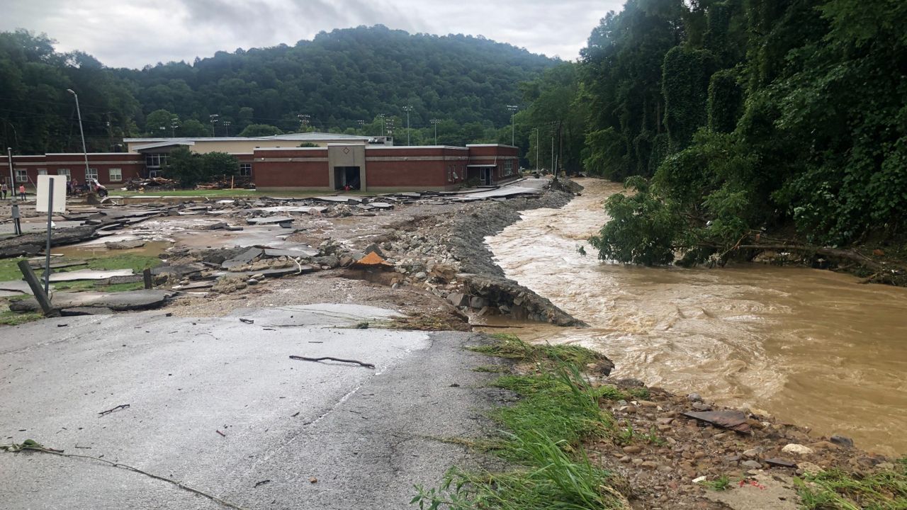
At the end of July, we had historic flooding in eastern Kentucky. Slow-moving thunderstorms caused rainfall rates in excess of 4 inches per hour across complex terrain, which led to 39 deaths and widespread catastrophic damage.
On Oct. 18, we had snow flurries from Louisville, Lexington into Northern Kentucky. It was very unusual for so early in the season.
December 22 to 23, a cold front brought unusually cold air to the state. Temperatures crashed quickly in a 12-hour timeframe by over 50 degrees. With gusty winds, it sent our wind chills down to 30 below zero, and we picked up 1 to 4 inches of snowfall.
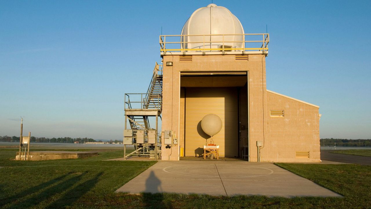
Our team of meteorologists dives deep into the science of weather and breaks down timely weather data and information. To view more weather and climate stories, check out our weather blogs section.