A late-season winter storm will continue to impact Wisconsin through early Thursday with rain and thunderstorms for some and heavy snow for others.
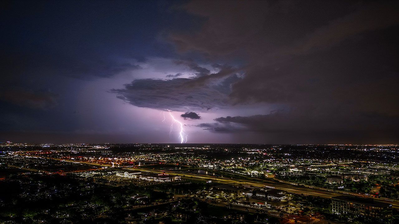
Heavy, wet snow will continue across northern Wisconsin Wednesday evening with areas in the southern and eastern part of the state deal with widespread rain and even some thunderstorms. Some pockets of thundersnow may also be possible in areas where the heaviest snow falls.
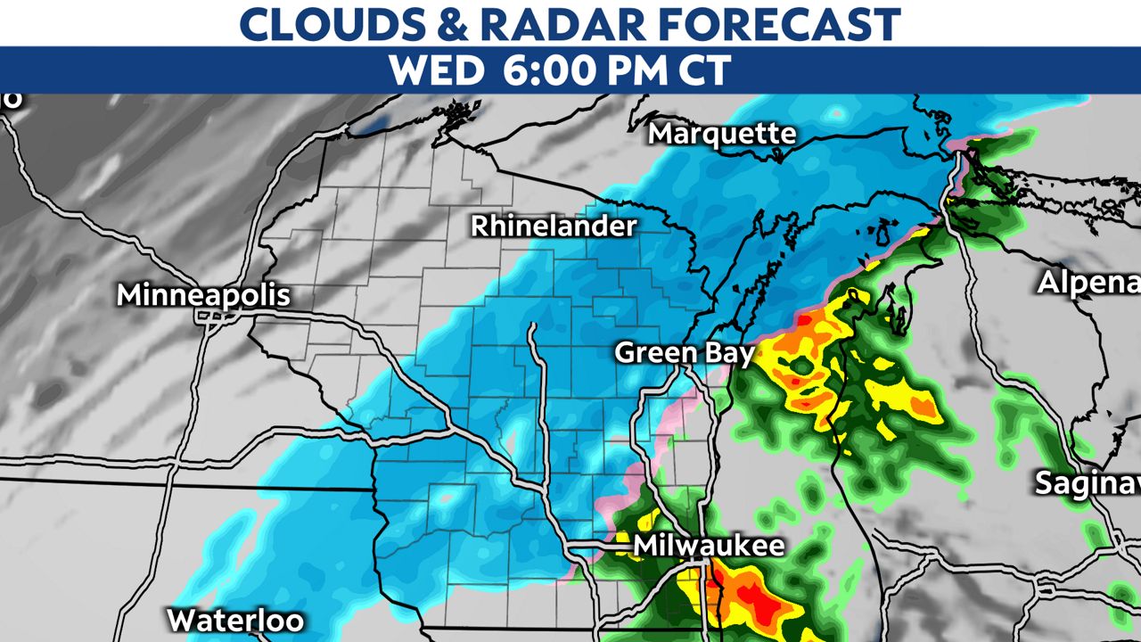
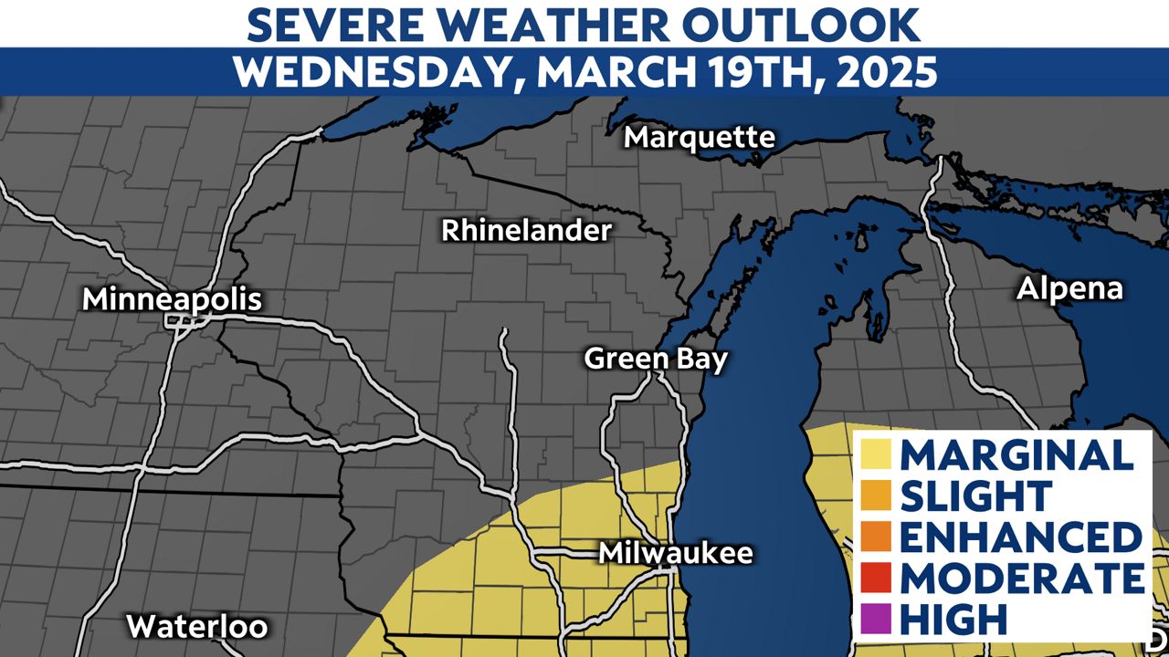
The areas at the highest risk for a few strong thunderstorms are in southern Wisconsin where some thunderstorms may produce a large amount of small hail, which could quickly coat road surfaces.The threat of damaging wind gusts and isolated tornadoes is low and mainly to our south in northern Illinois.
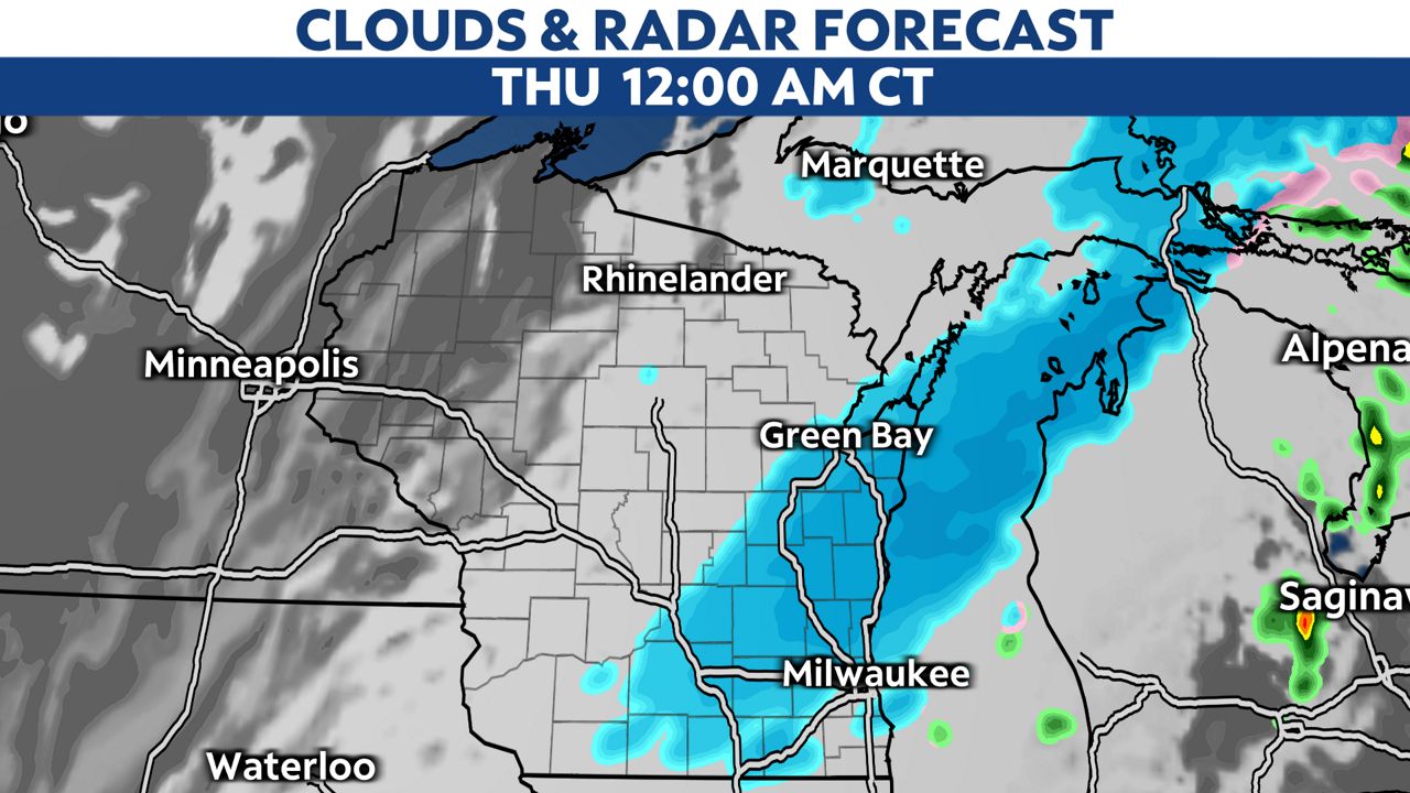
Late Wednesday night, any lingering rain changes over to snow, with pockets of moderate to heavy snow still possible in parts of northern Wisconsin.
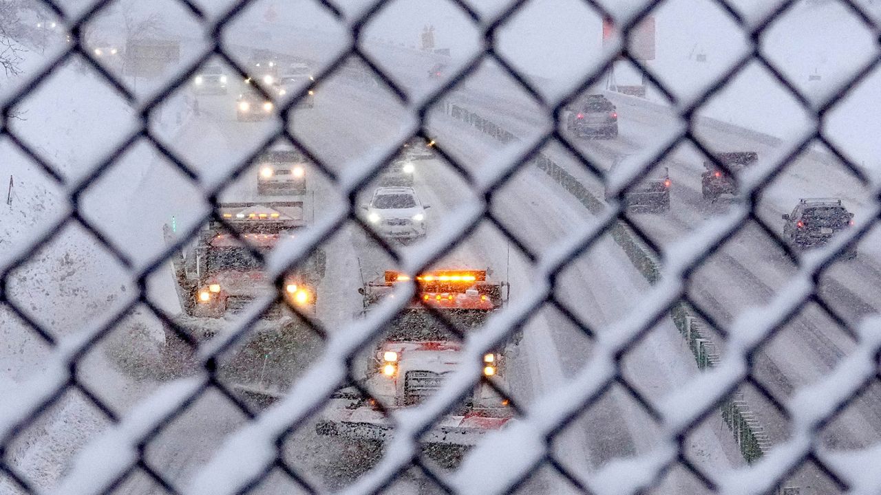
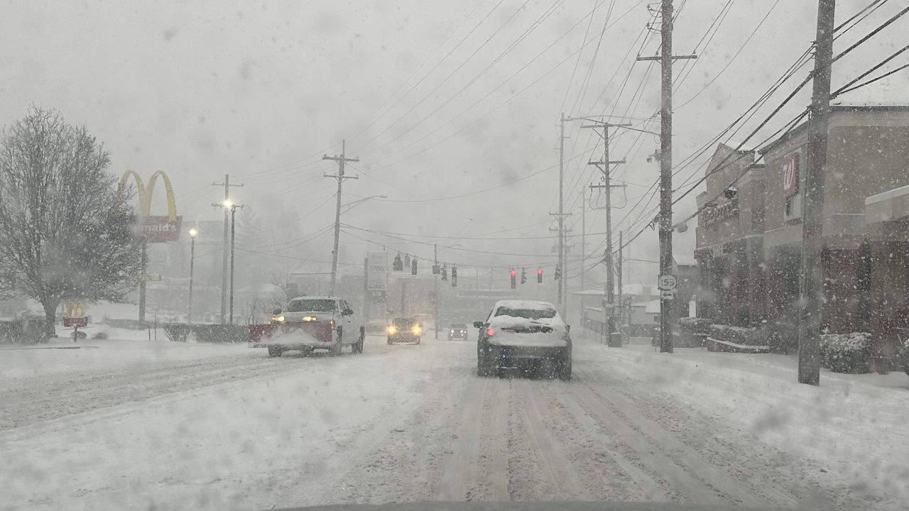
Road conditions will deterriorate throughout the night as heavy snow continues to fall. The wind will also pick up causing some blowing snow which will reduce visibility on the roads.
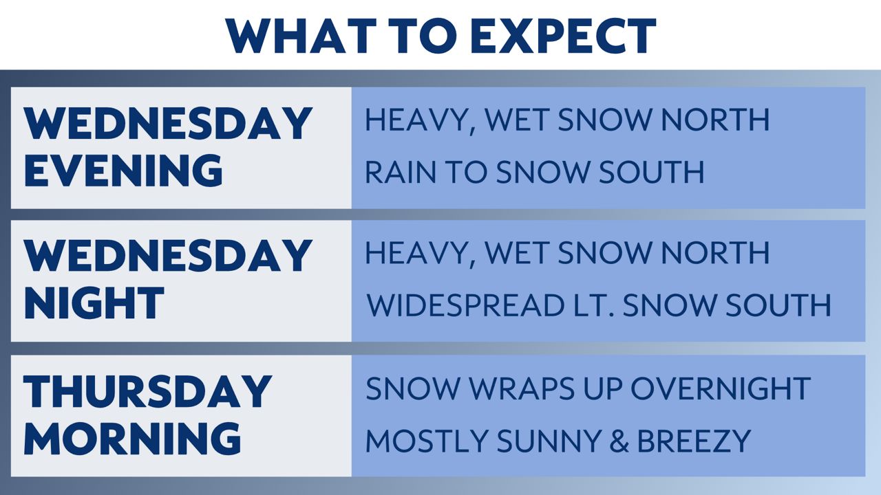
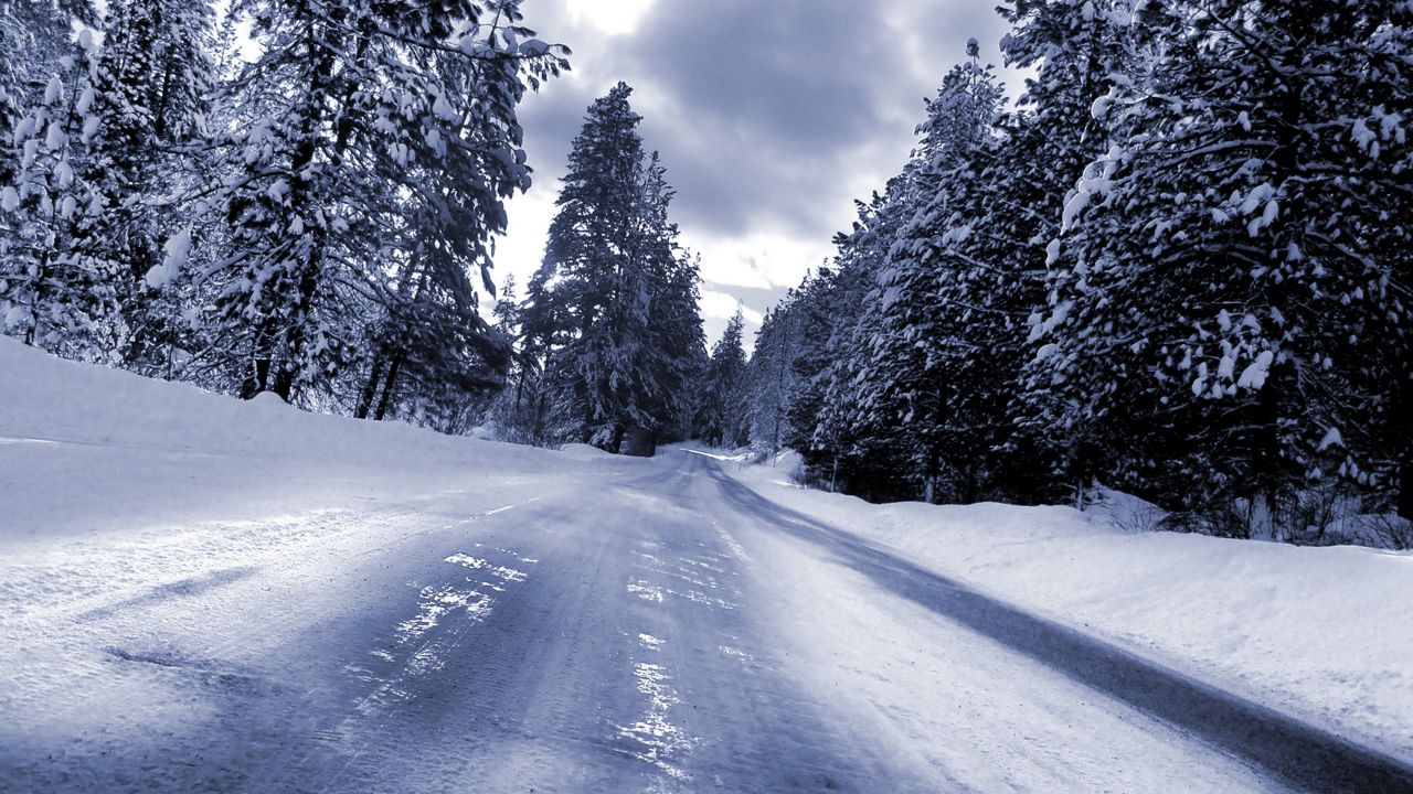
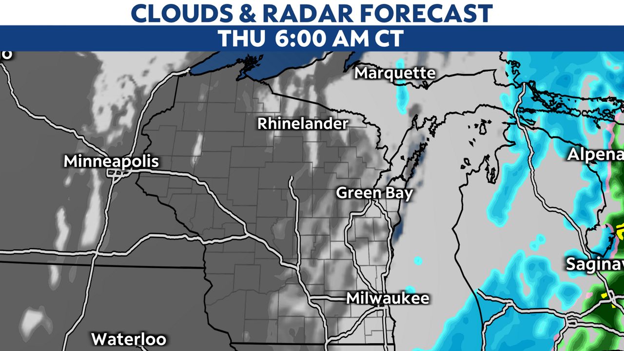
The snow will gradually end from west to east overnight with just a slight chance of a lingering snow shower close to Lake Michigan by the time the sun rises on Thursday.
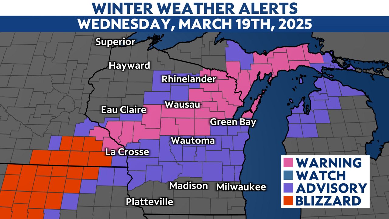
Winter Weather Advisories and Winter Storm Warnings are in effect through late Wednesday night or early Thursday morning. These areas are where we are anticipating the greatest impacts and highest snowfall totals from this system.
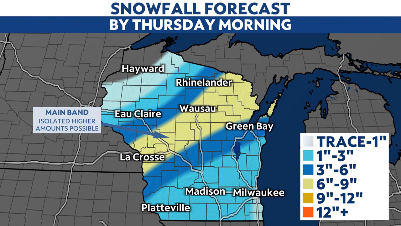
The highest snowfall accumulations will be in a band extending from west-central to northeastern Wisconsin. Snowfall totals in the area in yellow below will generally range from 6 to 9 inches.
Farther south and east, lower snowfall totals are expected as rain hangs on the longest in those spots.
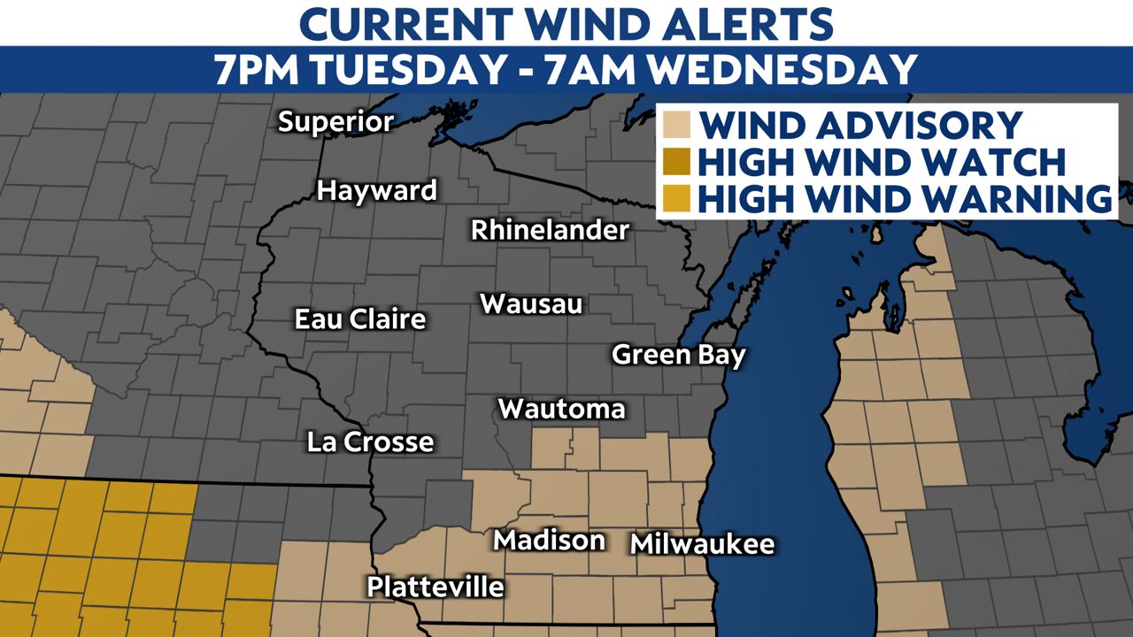
The wind will also pick up Wednesday night with gusts up to 45mph possible in southern Wisconsin. Wind Advisories have been issued from 7 p.m. Wednesday to 7 a.m. Thursday.
Sunshine returns to the state on Thursday as we offically welcome in spring. Highs will only climb into the 30s and low 40s Thursday afternoon, but will feel colder with a strong northwesterly wind.
Stay with Spectrum News 1 Wisconsin and your "Weather on the 1s" team as we continue to track this storm system.
Check your local forecast | Send us your weather photos
Follow the "Weather On the 1s" Team on social media for the latest weather updates:
Meteorologist Brooke Brighton: Facebook | Twitter | Instagram | Threads l Bluesky
Meteorologist Jesse Gunkel: Facebook | Twitter
Meteorologist Kristin Ketchell: Facebook | Twitter | Instagram