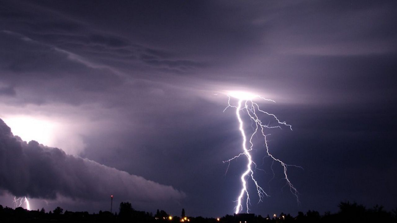
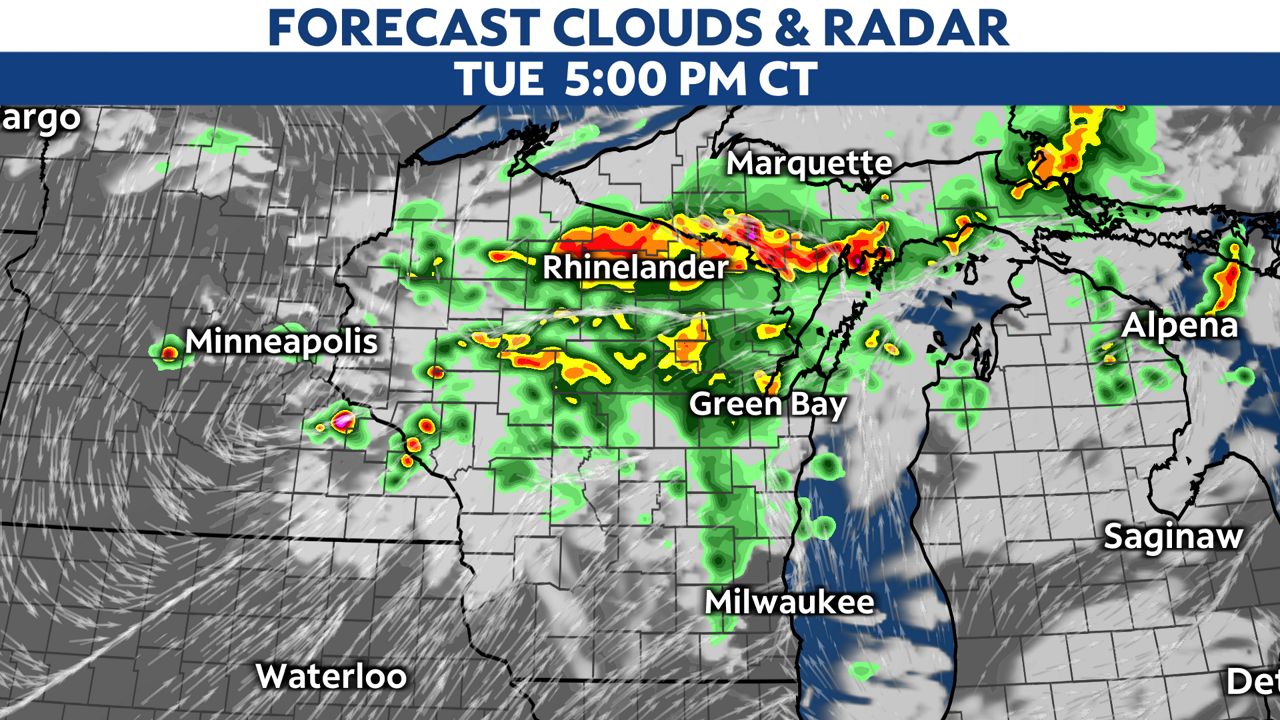
An approaching cold front could bring strong to severe storms in across the state Tuesday afternoon and evening.
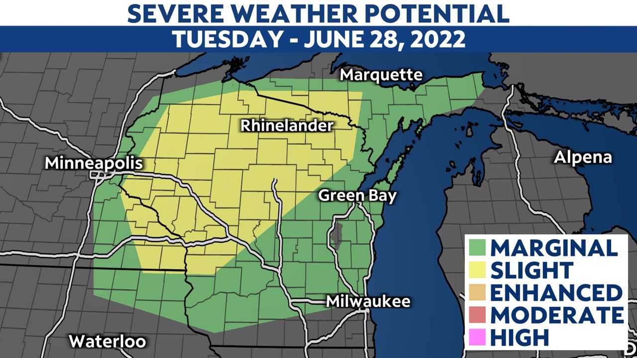
The areas shaded in yellow are under a slight risk (2 out of 5 on our severe weather scale) for severe weather. Main threats will be damaging wind and large hail.
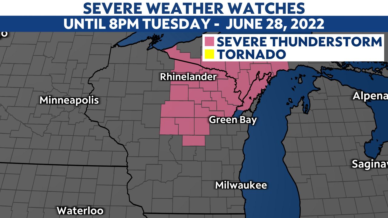
A Severe Thunderstorm Watch will be in effect for those counties shaded in pink in northeastern Wisconsin until 8 p.m. Tuesday.
Strong storms could start developing in northern Wisconsin as early as Tuesday afternoon. The best window to see severe weather will be between the hours of 3:00 p.m. and 10:00 p.m.
Strong storms will continue to move south throughout the evening, and move into southern Wisconsin by early tonight. Once we pass 10:00 p.m., the severe threat will start to diminish, but that doesn't mean we couldn't still get some strong gusts and heavy rainfall.
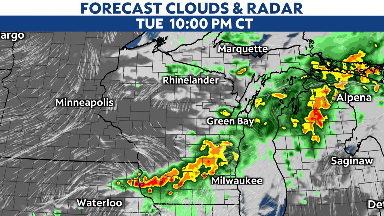
Although, most storms are expected to clear out by midnight.

You can now get weather push alerts through your Spectrum News app. These alerts allow you to get advanced notice of various weather conditions in and around your location.
Also, download our app to get up-to-date information on traffic and road conditions, along with potential closures.
Stay alert and weather-aware. Your "Weather On The 1s" team will continue to bring you the latest weather updates on-air and online.
Check your local forecast | Send us your weather photos
Follow the "Weather On the 1s" Team on social media for the latest weather updates:
Chief Meteorologist JD Rudd: Facebook | Twitter
Meteorologist Kristin Ketchell: Facebook | Twitter | Instagram
Meteorologist Brooke Brighton: Facebook | Twitter | Instagram