You're probably familiar with watches and warnings, but another forecast can also help you be ready for severe weather.
What You Need To Know
- Severe weather can occur any time of year, but is most common in the spring and summer
- The "convective outlook" can give you an idea of where and how intense severe storms could be
- Risk levels go from "marginal" to "high"
One product you may see is the convective outlook, or severe weather outlook, from the Storm Prediction Center. This map can provide useful guidance on how much severe weather is expected and how intense those storms could be.
A thunderstorm is considered to be severe when winds are at least 58 mph, it is producing hail at least one inch in diameter, and/or a tornado. An event can have just one or two severe storms with winds of 60 mph, or it might have a widespread outbreak of violent tornadoes.
Depending on the level issued, you can gauge where on this spectrum the threat for severe weather falls.
A marginal risk is issued if only isolated severe weather is expected. Maybe a couple of storms will hit severe criteria, perhaps an isolated tornado will be produced, but the threat is limited.
A slight risk is issued when scattered severe storms are possible. Short-lived severe storms are likely, but not widespread. An isolated intense storm could be possible.
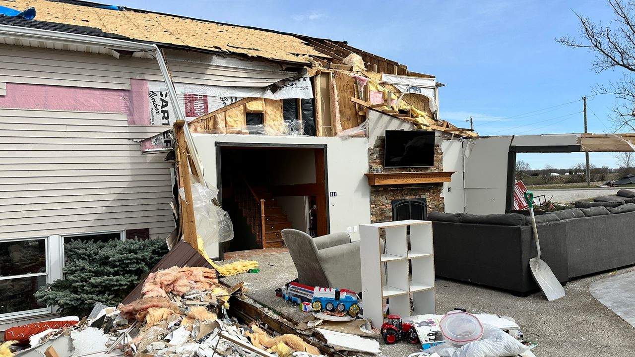
The enhanced risk category was added in 2014. It indicates a somewhat higher threat for severe storms. Storms are expected to be more widespread and more intense.
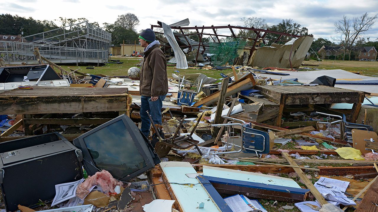
A moderate risk signals that widespread severe storms are likely and that some of those will be quite intense. At this level, several areas of widespread and intense storms are likely, and numerous long-track tornadoes are a possible threat.
The high risk category is reserved for a setup where meteorologists at the Storm Prediction Center are confident that there will be an outbreak of long-lived, widespread, dangerous weather. These are often issued ahead of significant tornado outbreaks and violent tornadoes are often reported on high risk days.
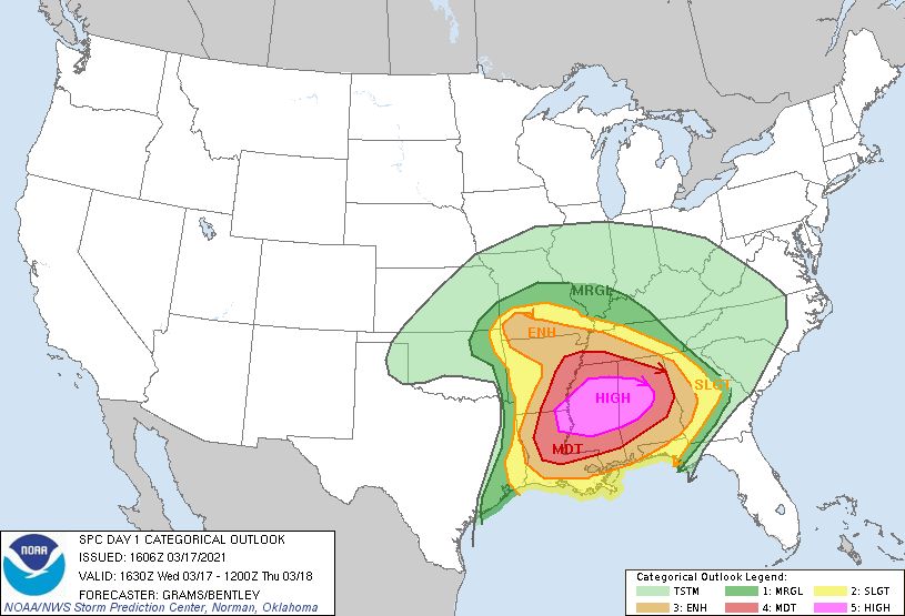
The convective outlook is designed to give you a heads-up on areas of potential severe weather days in advance.
A watch is issued a few hours ahead of a storm, and a warning lets you know that now is the time to go to shelter because a storm is just minutes away.
Our team of meteorologists dives deep into the science of weather and breaks down timely weather data and information. To view more weather and climate stories, check out our weather blogs section.


