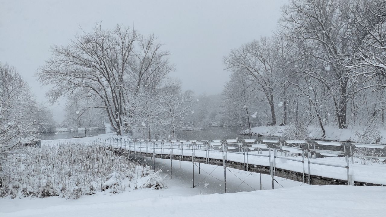
The cold front that brought light snow to Wisconsin Friday night into early Saturday will continue to move east throughout the day. A few flurries will be possible, especially along the lakeshore through this evening. Arctic air arrives from the northwest Saturday night into Sunday morning. Temperatures around the state will drop into the single-digits overnight with wind chill values below 0°. A Wind Chill Advisory is in effect from 3 AM to 9 AM Sunday for northern and northwestern Wisconsin where wind chill values will be -20° to -25°!
More sunshine is in the forecast Sunday into Monday with record cold high temperatures likely for some cities Monday afternoon. A few flurries will be possible overnight Monday into Tuesday with highs in the teens and single-digits. By Wednesday, temperatures slowly start warming into the upper teens with 20s returning by Thursday.
The week will end with a chance of a snow shower on Friday with highs still well below normal for this time of year, only in the mid to upper 20s.
GREATER MILWAUKEE AREA FORECAST:
Saturday: Mostly cloudy with a chance of a few flurries. | High: 29 | Wind: N 5-10mph
Saturday Night: Mostly cloudy with a few flurries possible. | Low: 13 | Wind: NW 5-10mph | Wind Chill: -5 to 0
Sunday: Mostly cloudy and bitterly cold. | High: 17 | Wind: N 10-15mph | Wind Chill: -10 to 0
Monday: Mostly sunny, breezy and frigid. | Low: -4 | High: 10 | Wind: W 12-18mph | Wind Chill: -20 to -10
Tuesday: Partly sunny and unseasonably cold. | Low: 0 | High: 16
Wednesday: Mostly sunny to partly cloudy. | Low: 4 | High: 20
Thursday: Mostly cloudy and still cold. | Low: 8 | High: 24
Friday: Mostly cloudy with a passing snow shower possible. | Low: 13 | High: 29
Follow the "Weather On the 1s" Team on social media for the latest weather updates:
Chief Meteorologist JD Rudd: Facebook | Twitter
Meteorologist Kristin Ketchell: Facebook | Twitter | Instagram
Meteorologist Brooke Brighton: Facebook | Twitter | Instagram