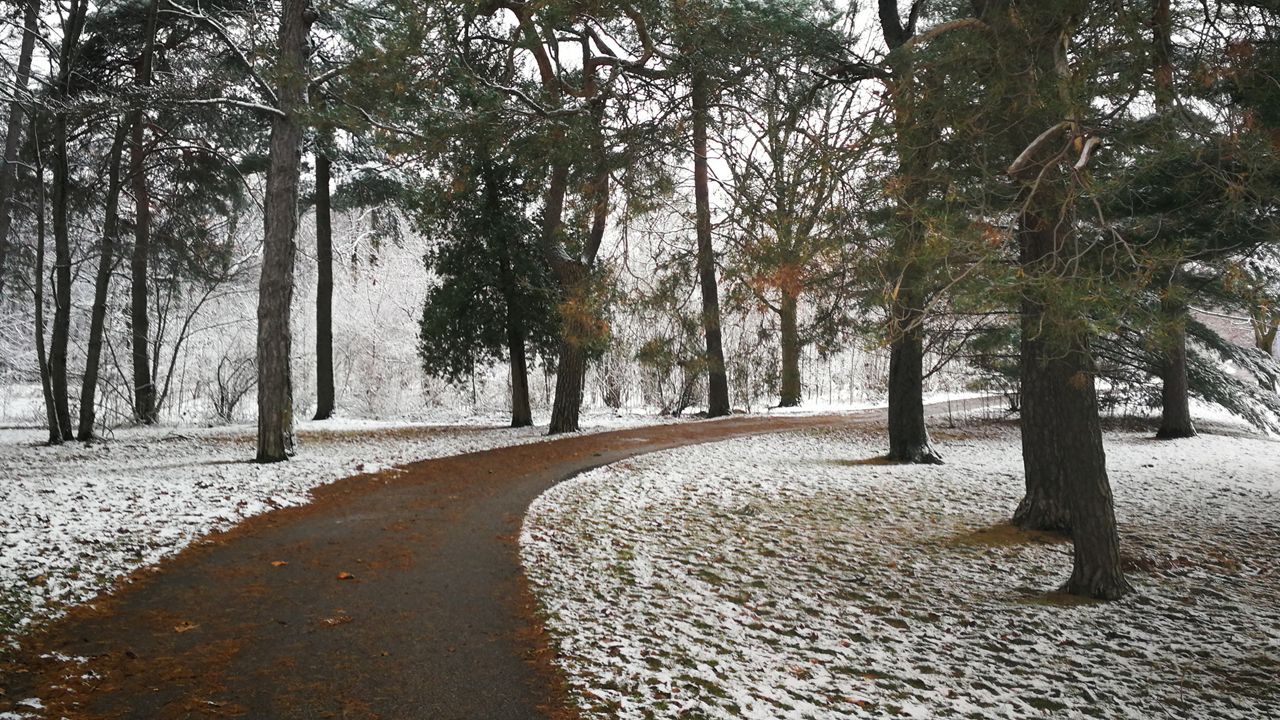
Winters in Wisconsin are typically known for their cold and snow, but did you know that most cities in Wisconsin have seen flakes fly as early as September?
September is usually associated with cooler temperatures, fall colors and everything pumpkin as we transition from summer to fall, but Wisconsin tends to play by its own set of rules.
The earliest trace of snowfall for our major cities in Wisconsin has happened in September. A "trace" amount of snow is when snow falls, but it's too little to measure. Think flurries or light snow showers that melt after they've reached the ground.
Areas in the northern part of the state typically see flakes flying first. Rhinelander has seen snow as early as Sept. 9, while Madison and La Crosse have seen their earliest trace of snow happen on Sept. 23.
We have to wait a bit longer to get our first measurable or "real" snow of the season of 0.1 inch or more. Rhinelander, Wausau and La Crosse have all broken out the snow rulers in September in years past, but for most of the state, that first accumulating snow holds off until early October.
Eighty years ago, a historic snowstorm dumped several inches of snow in the Midwest. This was the earliest measurable snow on record in many locations in Wisconsin and surrounding states.
In northern Wisconsin, the city of Tomahawk recorded 5.7 inches of snow and Deerskin Dam in Eagle River recorded an unprecedented 6.3 inches of newly fallen snow.
There's no threat of any snow anytime soon, but this is Wisconsin and if history tells us one thing, it's that anything is possible!
Our team of meteorologists dives deep into the science of weather and breaks down timely weather data and information. To view more weather and climate stories, check out our weather blogs section.


