Another major winter storm will be causing headaches again today across the Commonwealth
Winter storm warnings and winter weather advisories are now in effect for this system.
-1)
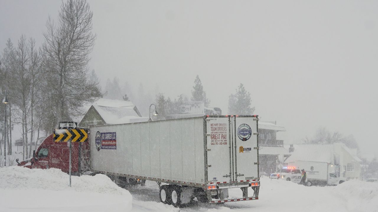
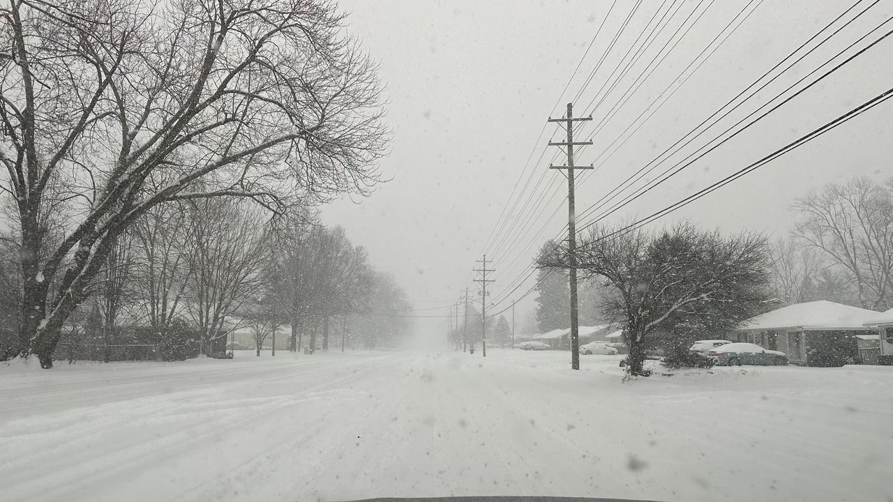
As many people are getting ready to hit the road for the morning commute on Tuesday, snow will spill into the area. With temperatures hovering around the freezing mark, it will be a heavy, wet snow. Plan on extra time for the drive to work. Far southern Kentucky will see all rain.
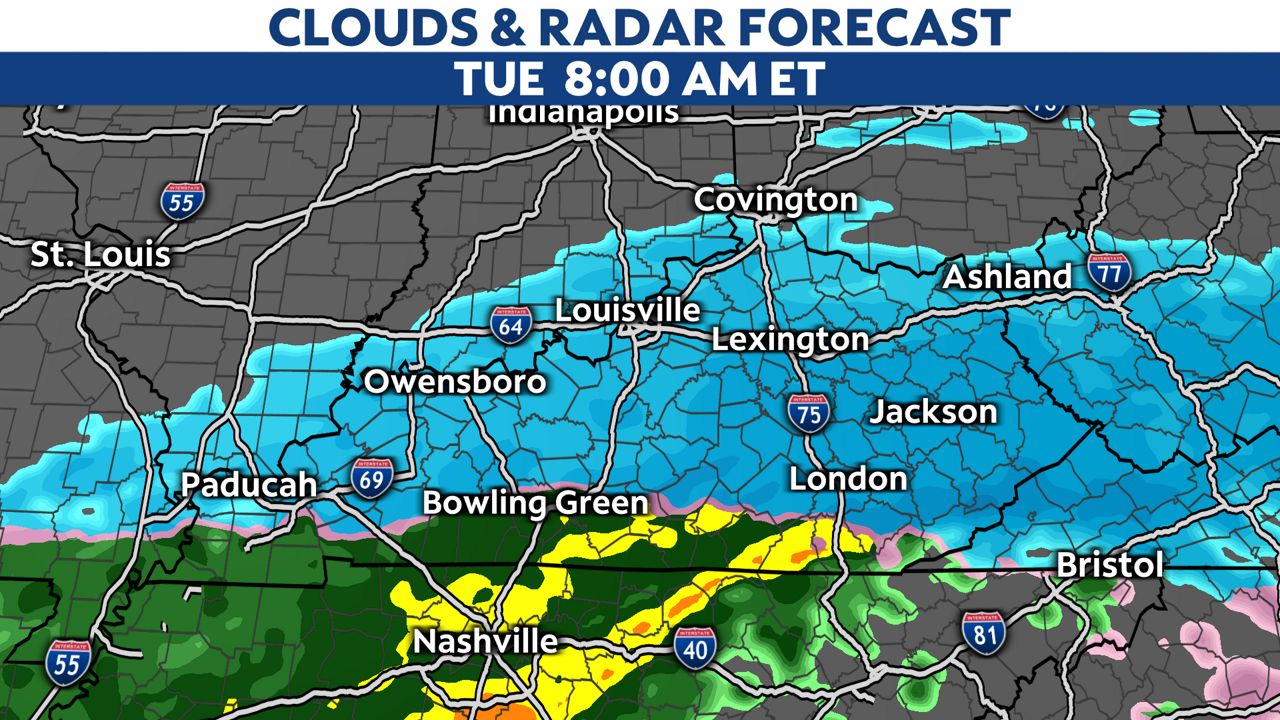
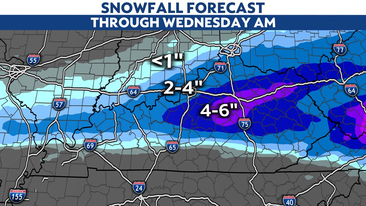
The heaviest snow is expected along I-64 during the day. The afternoon commute will also be impacted with snow continuing to come down around the area. The southern half of the state will still see a cold rain.
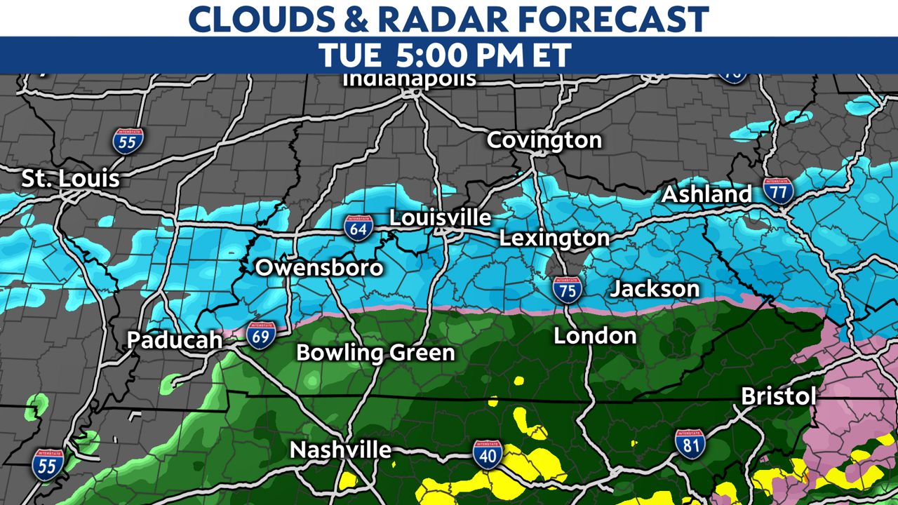
The snow and rain will taper off Tuesday night. The highest snow totals are expected along I-64 and south to the parkways. There is a band of snow that could produce 4 to 6 inches of snow.
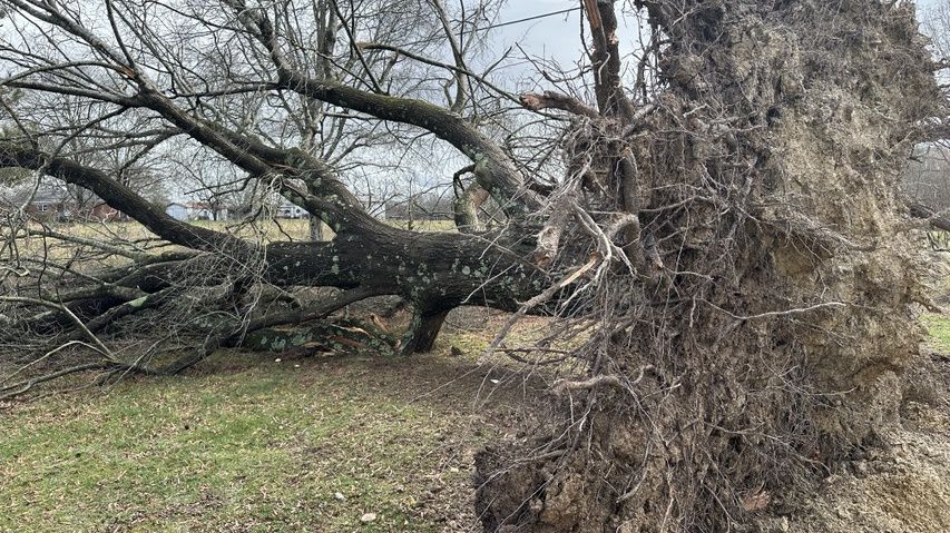
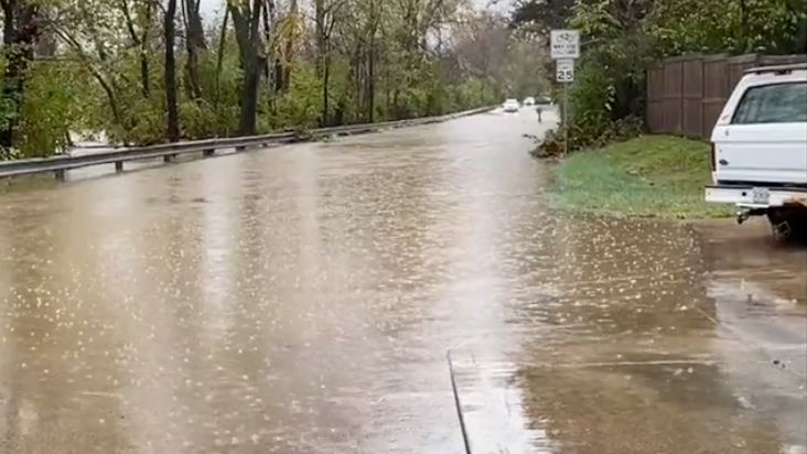
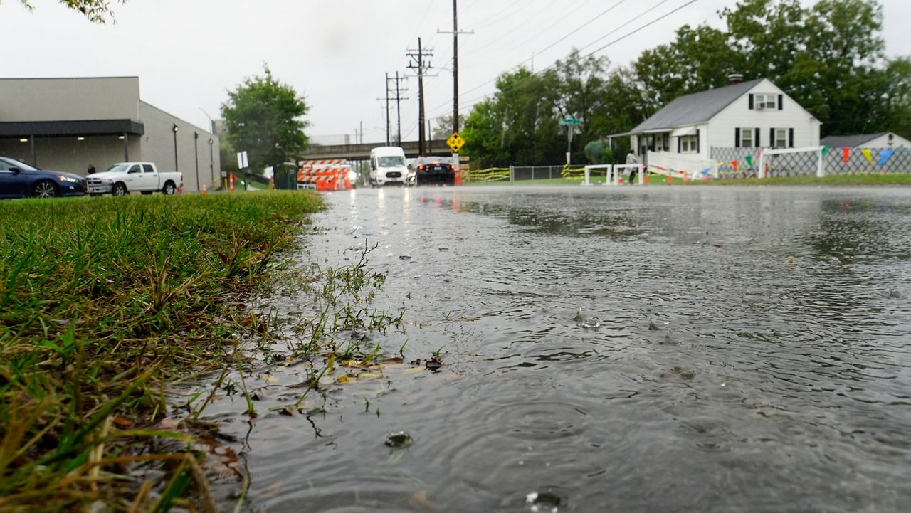
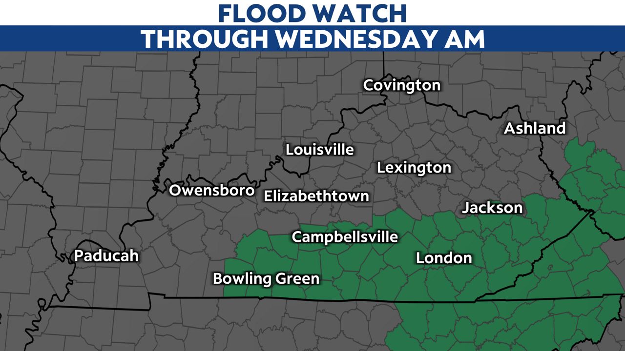
With the already saturated ground, there is a flood watch that is in place for southern Kentucky where 1 to 2 inches of rain is expected.
All the rain and snow will be out of here for the commute to work on Wednesday. But, our next system will move in quickly behind this one with all rain expected by afternoon into the evening.
Our team of meteorologists dives deep into the science of weather and breaks down timely weather data and information. To view more weather and climate stories, check out our weather blogs section.