


Through tonight, we will be mainly on the warm side of a major storm system.
However, we won't be able to avoid gusty winds that could lead to our second round of power outages in one week.
This storm will bring rain, wind and snow.
Wind is our primary threat through Friday evening.
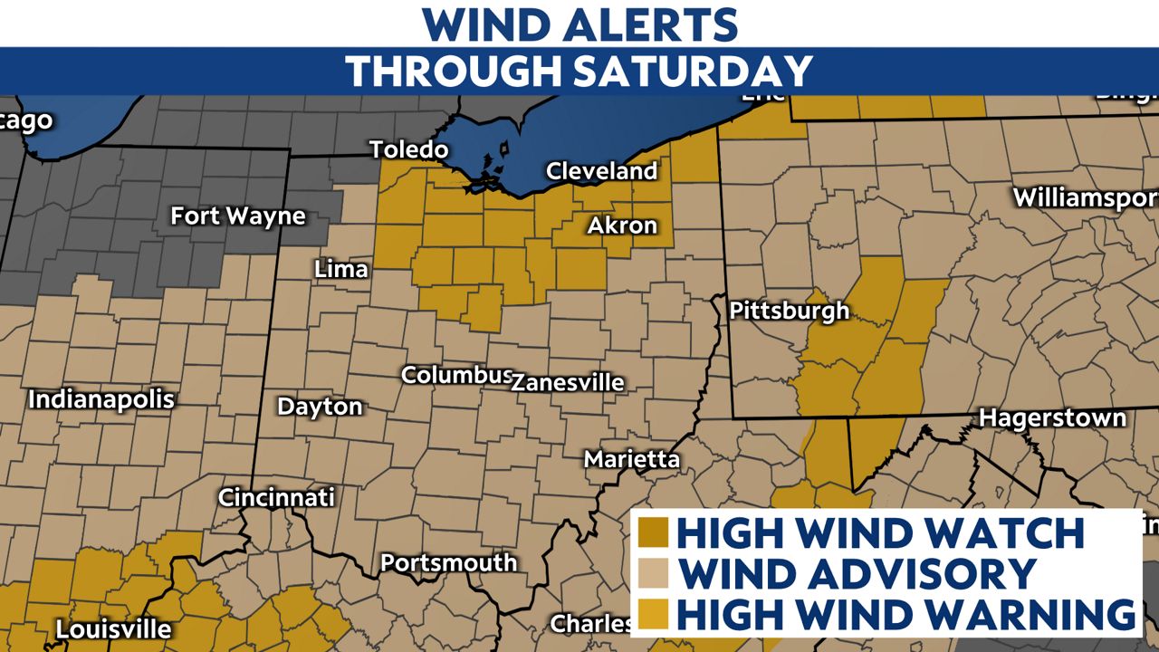
Gusts could get as high as 60 mph.
Downed tree limbs and power lines could lead to more power outages.
Some stronger winds are also possible with some thunderstorms that may not produce lightning but damaging winds.
Wind alerts, especially in northern Ohio, will stay up through 1 a.m. on Sunday.
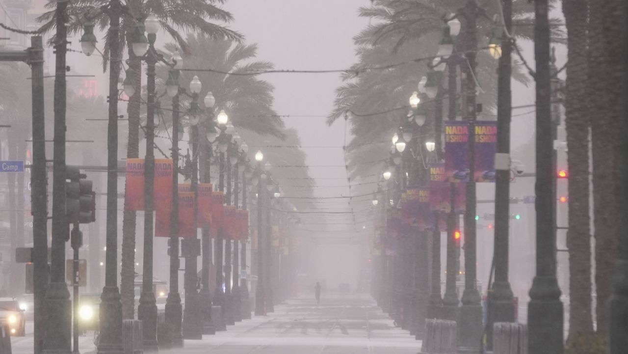
Rain will reduce visibility and create slower drive times through the late evening.
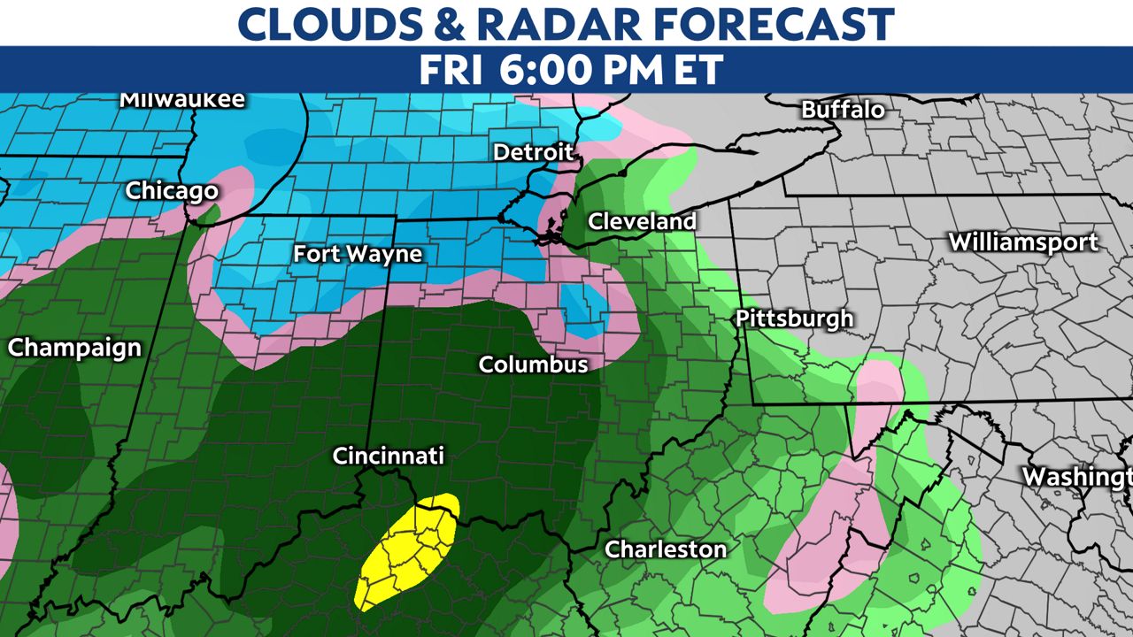
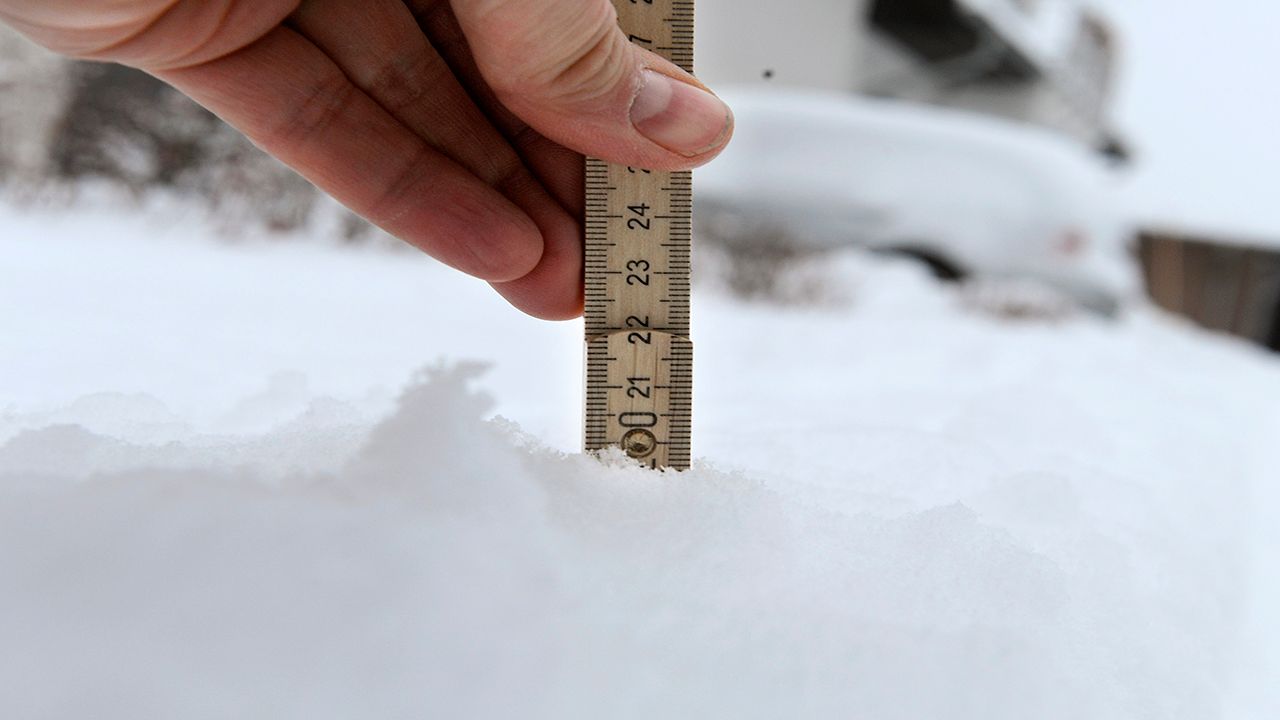
Some moderate to heavy bursts of wet snow could mix in with rain at times and become an issue for the evening commute, especially in northern Ohio.
These snow showers may not last long but could lead to quickly changing road conditions.
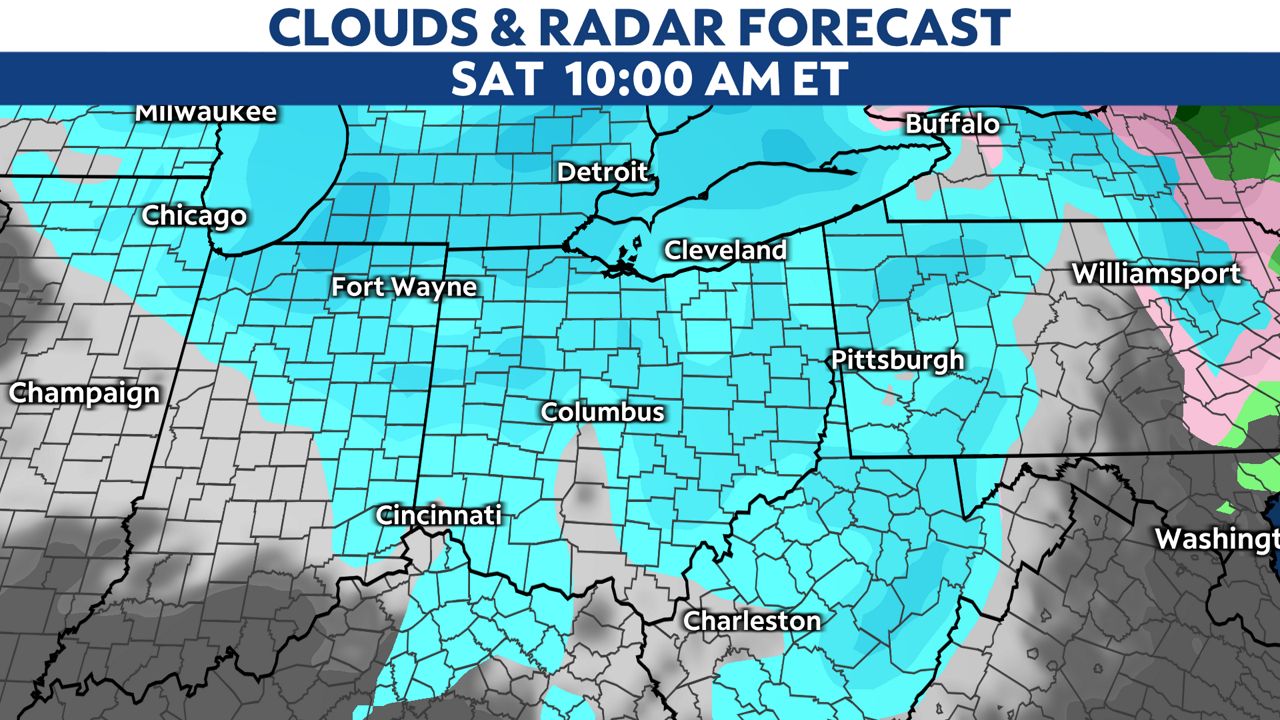
Gusty winds tomorrow could lead to blowing and drifting snow.
This won't be a big accumulating snowfall event for us but with lake-effect snow possible Saturday night through next week, some accumulations up to three to four inches will be possible there.
Arctic air will come in Saturday night into Sunday and subzero wind chills will be possible from Sunday through Wednesday at times.
Wednesday morning looks the coldest before a slow, gradual warmup Wednesday afternoon.
A reminder that dangerous wind chill values can lead to the threat of frostbite.
Our team of meteorologists dives deep into the science of weather and breaks down timely weather data and information. To view more weather and climate stories, check out our weather blogs section.