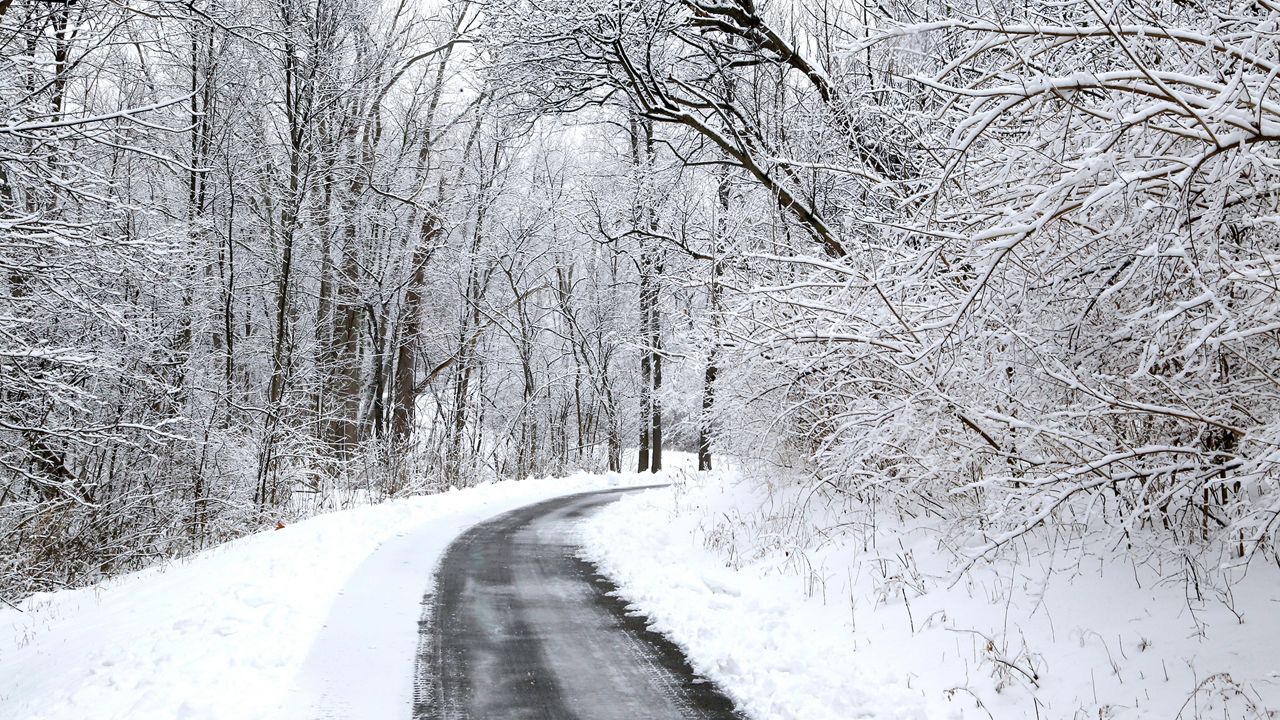
A winter storm brought a burst of snow into the region on Sunday, which is tapering off on Monday.
A swath of higher accumulations stretching diagonally across the state from Cincinnati to Cleveland generally amounted to between 3 to 6 inches, but a few select spots saw snowfall totals even top a half-foot.
While most of the state saw mainly snow throughout the storm's entirety, parts of southern and eastern Ohio saw change over to a wintry mix and rain. As a result, these areas measured less snow compared to the rest of the state.
Regardless, find out how much snow fell near you by clicking or tapping the snow icons on the interactive map below.
A few lingering snow showers will continue to move through today, but won't amount to much by the time conditions completely dry up. Another midweek storm will bring additional accumulations to the state.
Our team of meteorologists dives deep into the science of weather and breaks down timely weather data and information. To view more weather and climate stories, check out our weather blogs section.


