


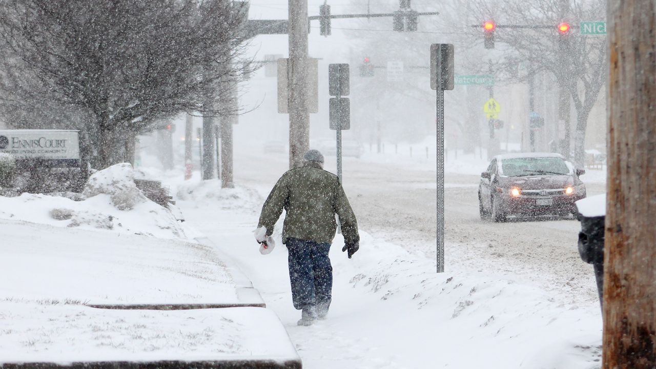
While the heavy snow has ended in Ohio, passing light snow showers and flurries could add another coating early Monday morning.
With our lack of snowfall this month, we haven’t used our winter weather driving skills lately. Remember to take your time and be prepared to use caution while driving on snowy and slushy roads now through Monday morning.
By Wednesday, we will once again be monitoring a system that will bring more snow and rain to the region.
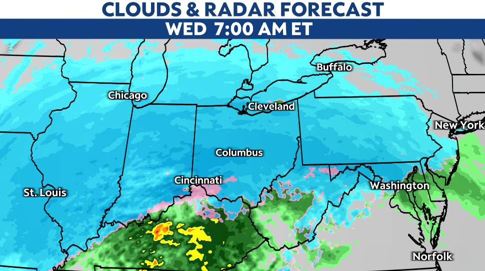
The timing and track of the midweek storm is still uncertain. The final track will play a significant role in precipitation type and amounts.
The latest models show snow pushing into most of Ohio early Wednesday before mixing with and changing to rain Wednesday afternoon, mainly across southern Ohio.
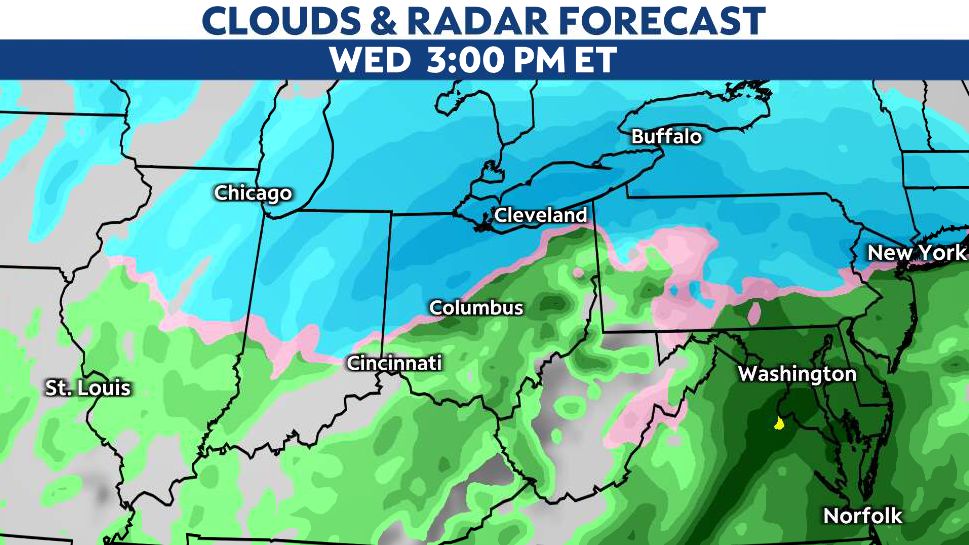
Where precipitation can stay all snow, amounts could exceed 4 to 6 inches. Some freezing rain and sleet will also be possible.
Our team of meteorologists dives deep into the science of weather and breaks down timely weather data and information. To view more weather and climate stories, check out our weather blogs section.