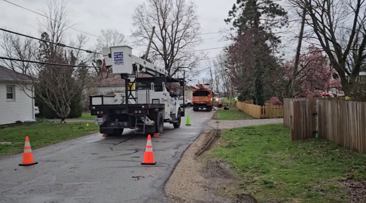
We'll have more scattered showers and storms through Thursday. We are also watching for stronger to severe storms.
Another area of low pressure rides along a cold front Thursday, so keep the umbrella close by heading into Thursday’s forecast.
Thursday morning begins with hit/miss rain. Activity won’t be as widespread as Wednesday morning. Rain chances increase by midday Thursday.
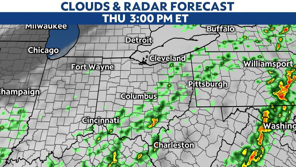
More rain and even storm chances are possible as a cold front arrives Thursday afternoon through evening.
There’s a chance of strong to severe storms, mainly in the eastern and southern parts of the state. The risk is lower (level 1/5), the marginal threat is marked below.
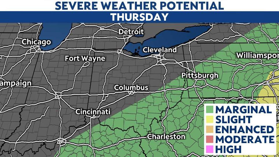
Scattered chances develop along I-71 from Cincinnati up through Columbus and into the Cleveland area between 11 a.m. through 3 p.m.
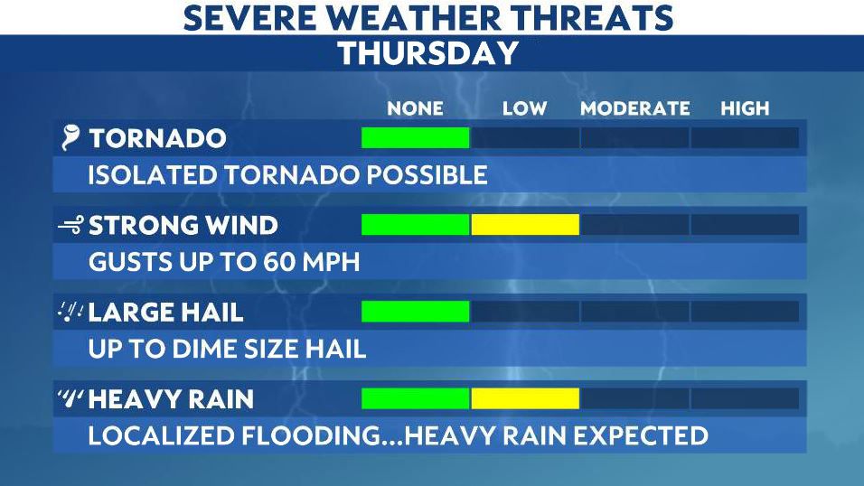
Some storms become severe as they track into eastern and southeastern Ohio and could produce gusty winds and downpours.
Rain and storms exit the state Thursday night.
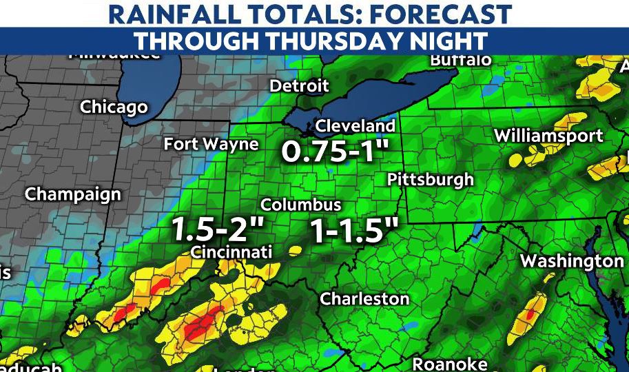
Rainfall totals by late Thursday night range between 1-2 inches, and be aware localized flooding is possible. Remember, turn around, don’t drown!
Some sunshine pushes through the skies Friday as temperatures begin to rise!
The weekend’s forecast is HOT! Highs range from the mid-to-upper 80s, and some cities could see 90 - good forecast for the pool!
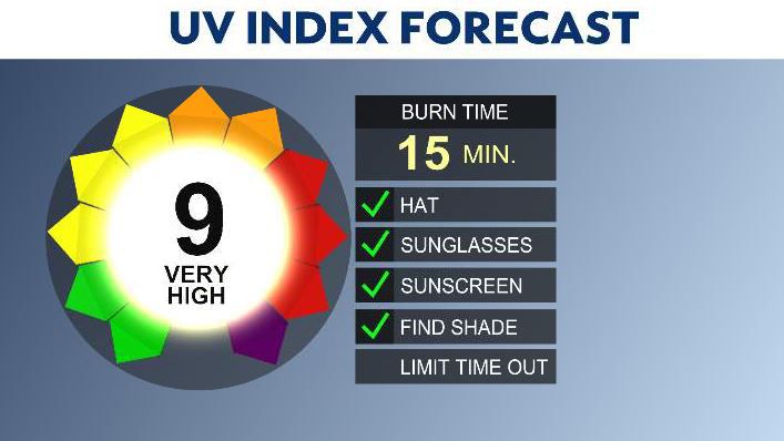
The storm complexes exit by Thursday, so this weekend is not only warmer but also mainly dry as an area of high pressure dominates. Our forecast quiets down as well.


