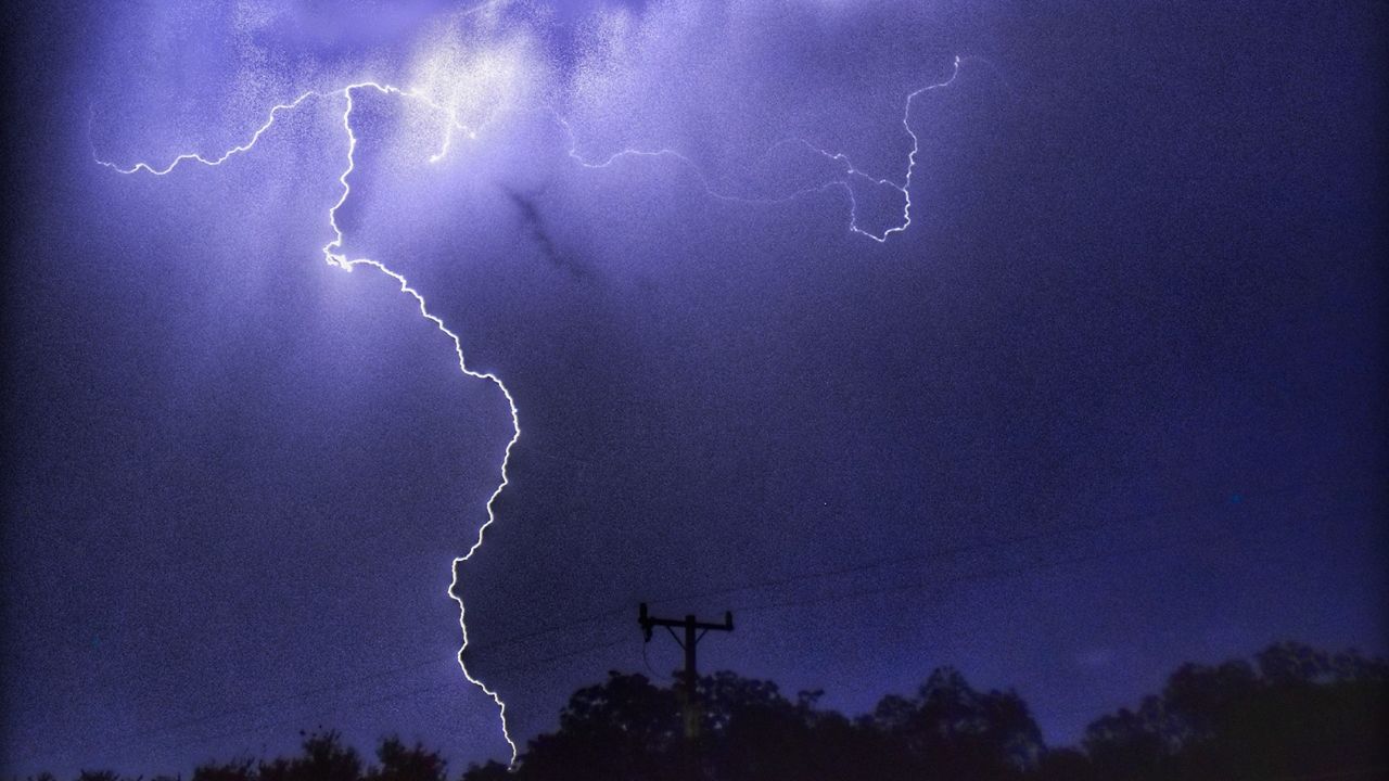
A strong storm system moving into the Ohio Valley will bring widespread thunderstorms to the region. Some of these storms could produce very large hail, damaging winds, and tornadoes.
The latest Storm Prediction Center outlook places the area around the Ohio River at the greatest risk.
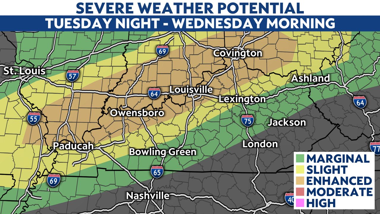
Thunderstorms will probably fire up first in southern Indiana and far northern Kentucky late in the evening. These storms could be super-cellular in nature, meaning they would be rotating and have a high chance of producing severe weather.
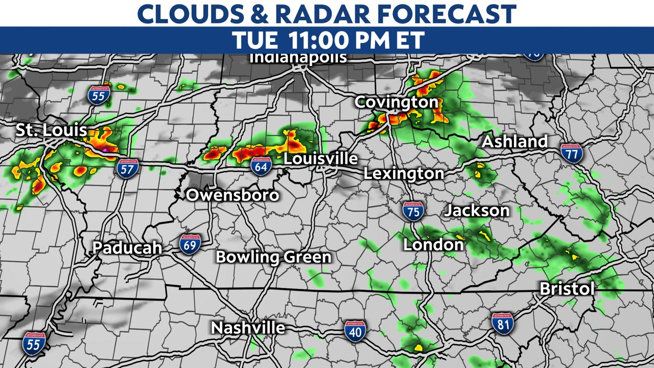
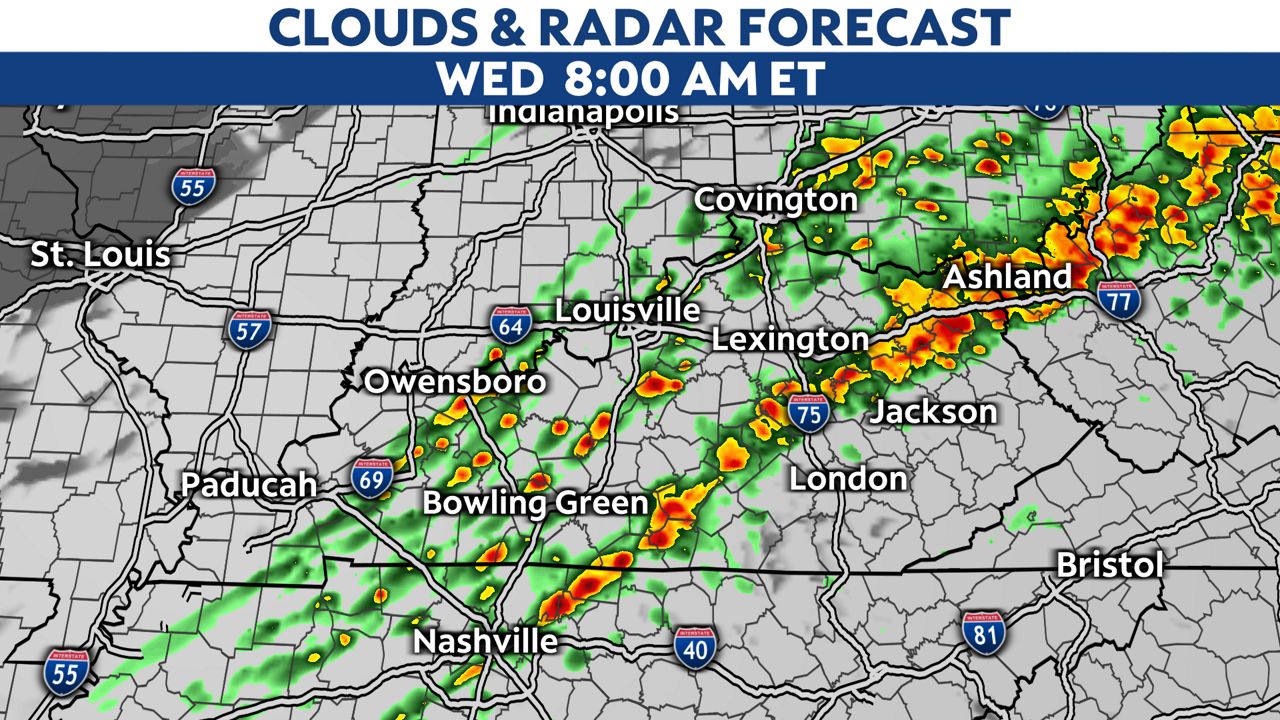
Later into the night, these storms will look to join into somewhat of a line, and gradually move south into Kentucky.
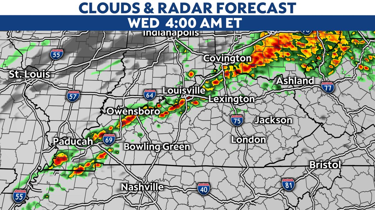
The severe weather threat will look to wind down as we get into the mid-morning on Wednesday.
