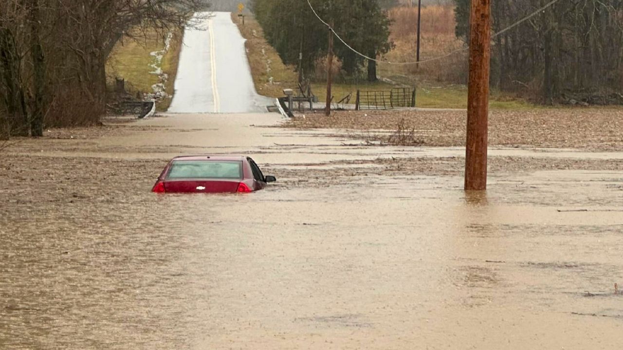
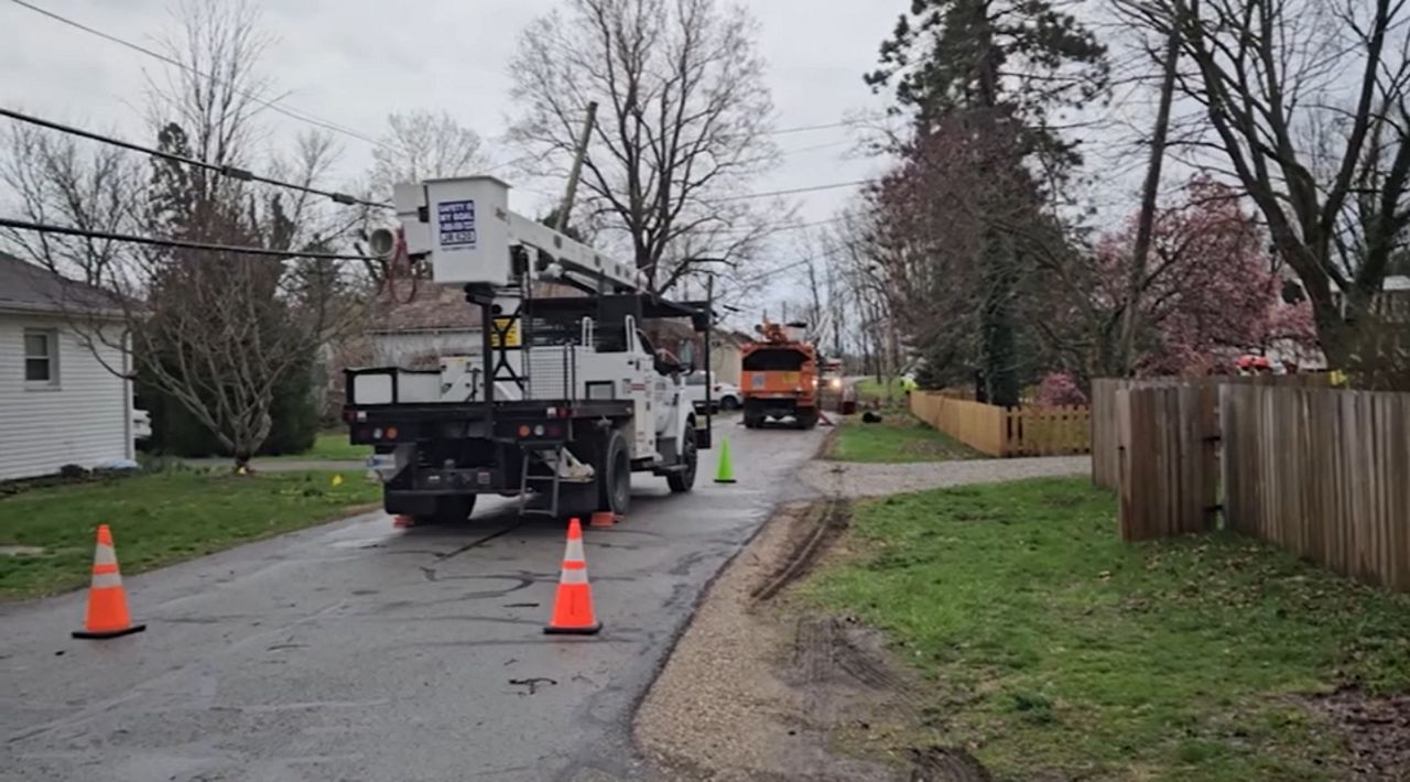
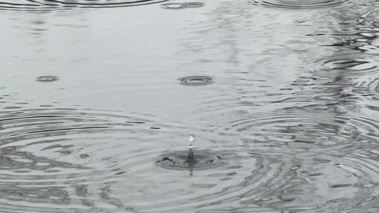
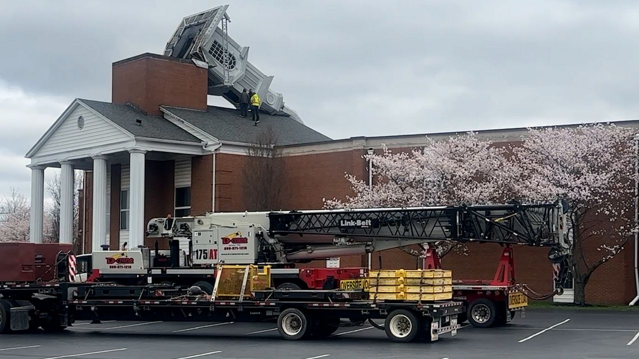
OHIO — Following two rounds of severe weather earlier this week, a longer-term threat will stick around through the next few days: flooding.
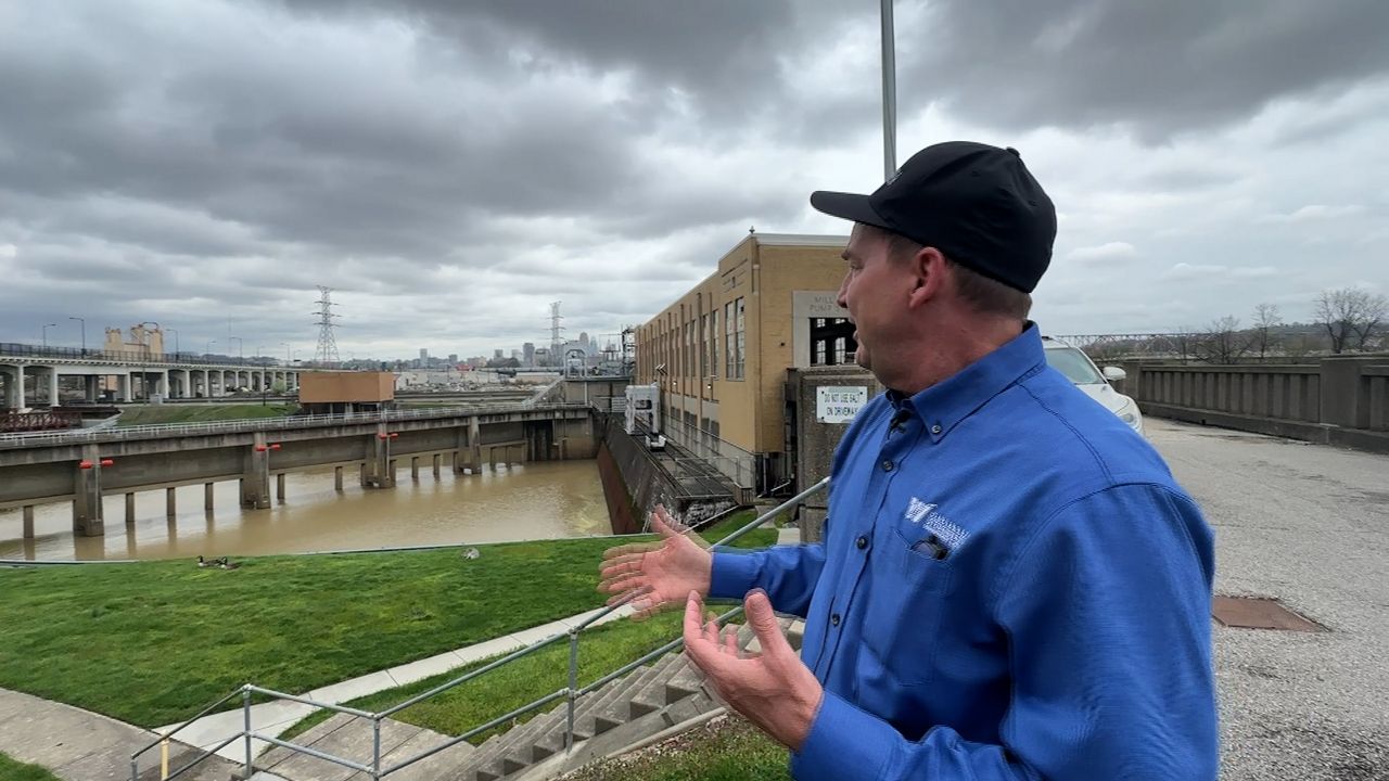
Jim Lott, a meterologist for NWS Wilmington office, said while there are no major flooding concerns yet, that will change as storms dump water across the Buckeye State.
"We still have several more rounds and periods of rain," Lott said.
The rain is expected to escalate flooding threats on Thursday night, Friday night and Saturday night.
“The further southwest area, near the tri-state and Cincinnati area, may see the highest impact,” he added. “The entire state is at risk, but south of I-70 and west of U.S. 33 may be worse.”
Lott said following Thursday’s rain is when rivers may start to see issues with rising water levels. He said it is too soon to tell if any rivers pose a more serious threat than others.
Lott said it is important for residents to pay attention to watches, warnings and advisories as they are issued.
“If you see rising water, be sure to avoid it,” Lott said.
He added that it's too soon to compare the expected rainfall to previous historical floods from Ohio's past, but that the water could be the most seen in the state in the past 10 to 20 years.


