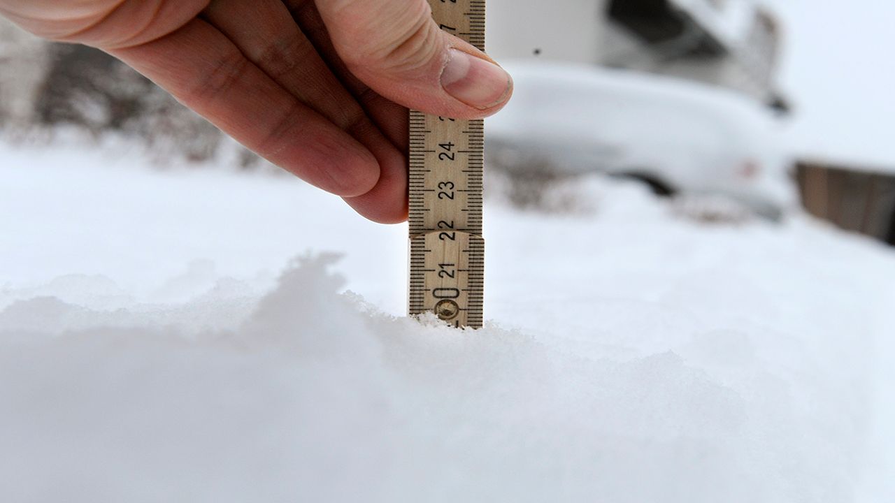


The powerful storm system storm that replaced summer warmth with winter-like snow dropped more than a foot of accumulation in western Wisconsin.
Check the interactive map of snowfall reports below. You can zoom into your area and tap or click on an icon to get more information. These are all the numbers sent to the National Weather Service on Monday, up through early in the afternoon.
You can see that the heaviest band was focused in the western part of the state. Areas farther east got quite a bit less.
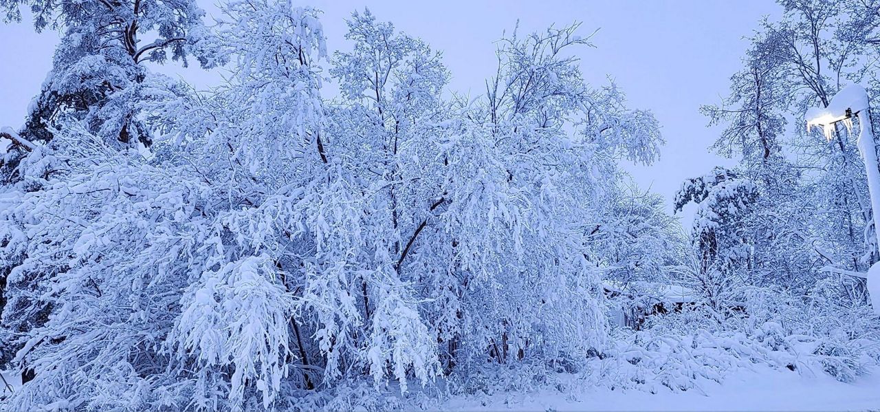
Send us your snow photos here.
Our team of meteorologists dives deep into the science of weather and breaks down timely weather data and information. To view more weather and climate stories, check out our weather blogs section.