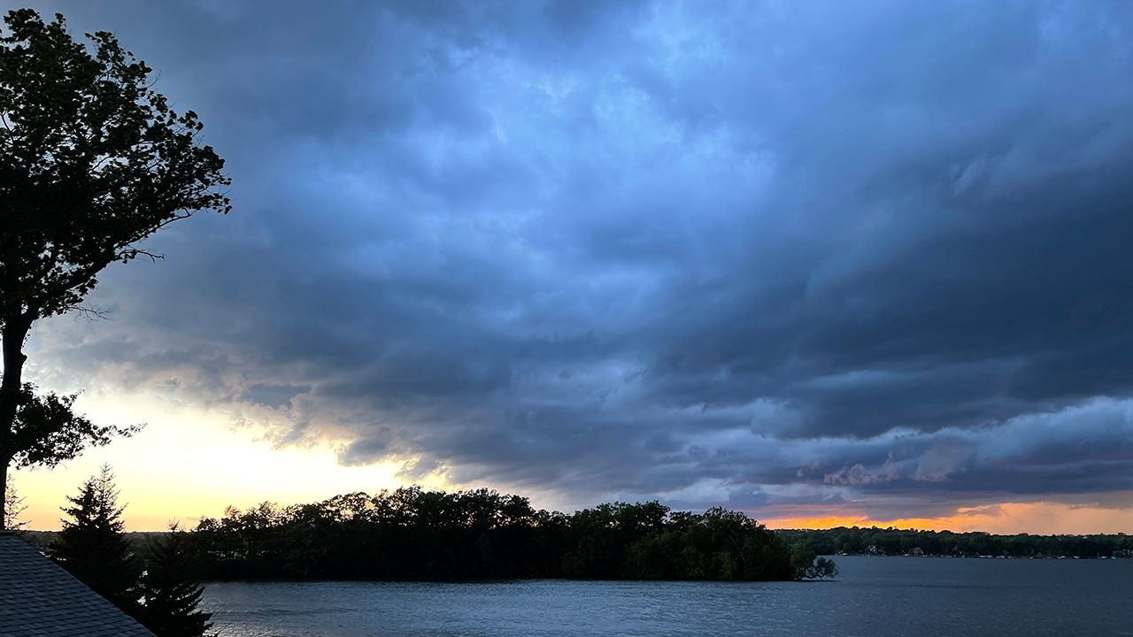
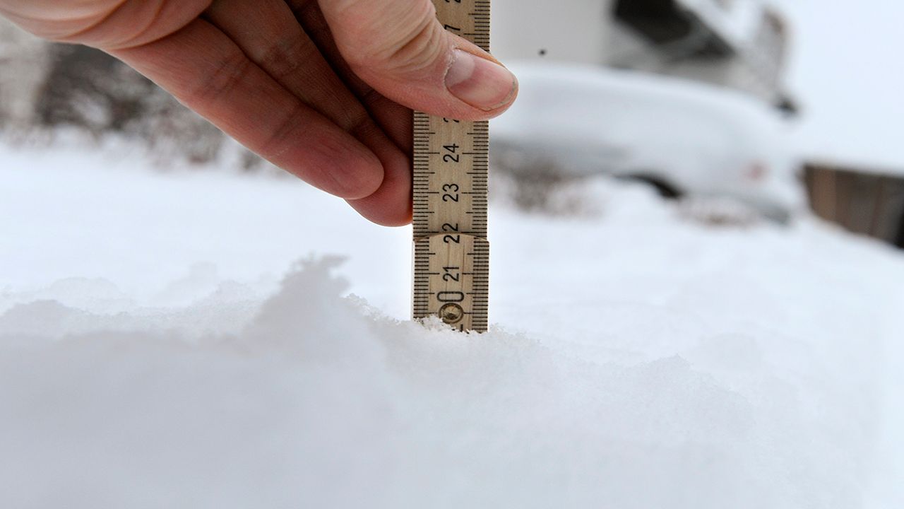
Active weather runs through Wisconsin Friday evening into Saturday morning, ranging from severe thunderstorms to heavy snow.
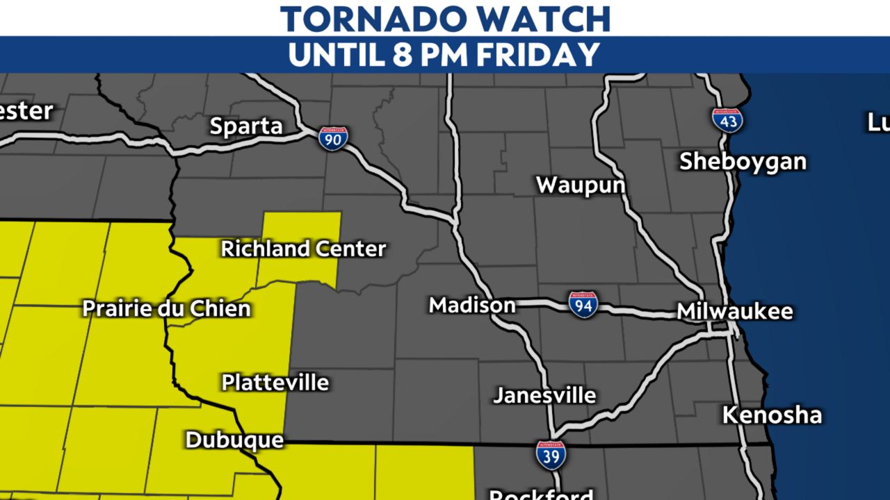
The southern half of the state is under a marginal to enhanced severe risk (level 1-3 of 5) for later Friday. A Tornado Watch is in place until 8 p.m. for far southwestern Wisconsin. Additional watches could come, depending on how the situation develops. Check for local weather alerts here.
Our primary threats will be damaging wind gusts and tornadoes, but some hail will also be possible within these storms.

Scroll through the slides below to see the timeline of rain, storms and wintry weather.
Once we get into the late afternoon, strong storms move in for the southern part of the state, and we'll get another round of storms from west to east through the evening. This is when we could see the risk of severe weather, with tornadoes, damaging winds and hail on the table.

Shortly after the storms move out during the late evening, heavy snow will settle in for the northern part of the state.
Many winter weather alerts are in effect. Four to eight inches of snow will be possible for many, with some areas getting six to 12 inches of snow. Winds will also pick up, with gusts reaching up to 45 mph, and we could see a little ice accumulation. This will lead to hazardous travel with low visibility.
The snow will clear out by the late morning on Saturday, but gusty winds could still cause visibility issues throughout the day.
Stay weather aware throughout Friday and prepare ahead of time before the storms arrive. Sign up for weather notifications to receive the latest weather updates, and keep up with this article for the latest details on this event.
Our team of meteorologists dives deep into the science of weather and breaks down timely weather data and information. To view more weather and climate stories, check out our weather blogs section.


