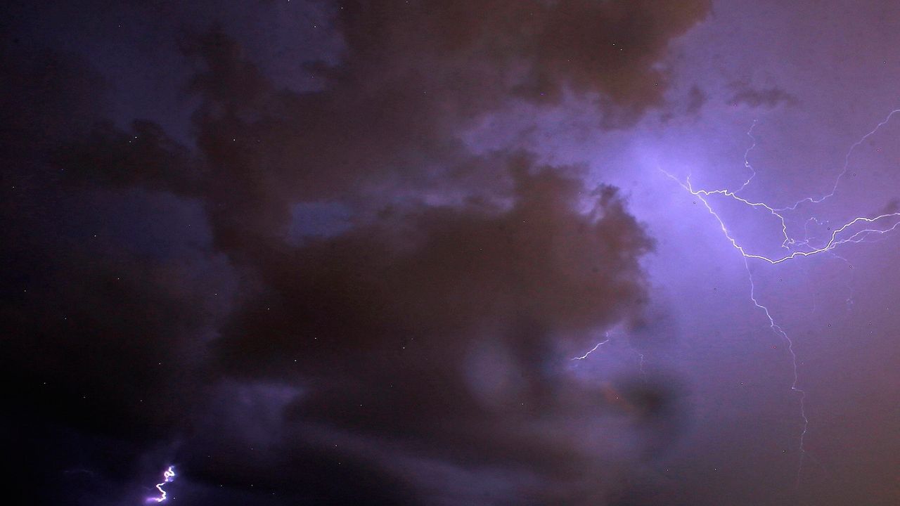
It seems that we're in a pattern in Wisconsin. We'll see another opportunity for severe storms Wednesday night.
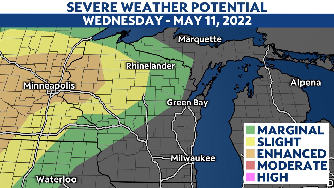
Parts of northwestern Wisconsin are under an enhanced risk (level 3 out of 5 on our severe weather scale) for severe weather.
The main threats we're looking at with these storms are the potential for damaging winds and large hail.
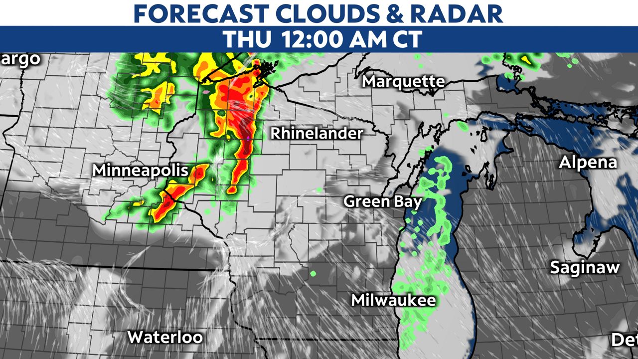
Storms will move into northwestern Wisconsin around 10 p.m. Wednesday. The best chance for northwestern Wisconsin to see severe weather is between the hours of 10 p.m. to 2 a.m.
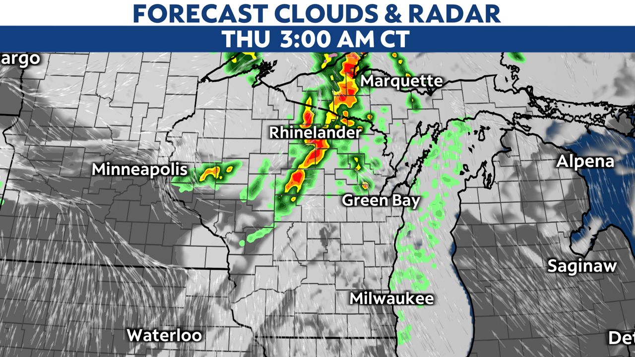
These storms will move into far north-central Wisconsin from 2 a.m. to 4 a.m. Although there will still be a chance for some strong storms to move through during this time frame, the severe weather threat will be lower.
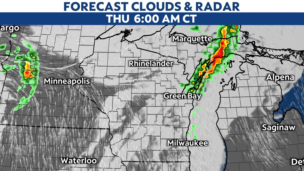
There will still be a few storms in far northeastern Wisconsin at 6 a.m. before clearing out by midmorning. These will mainly be your typical run-of-the-mill thunderstorms.
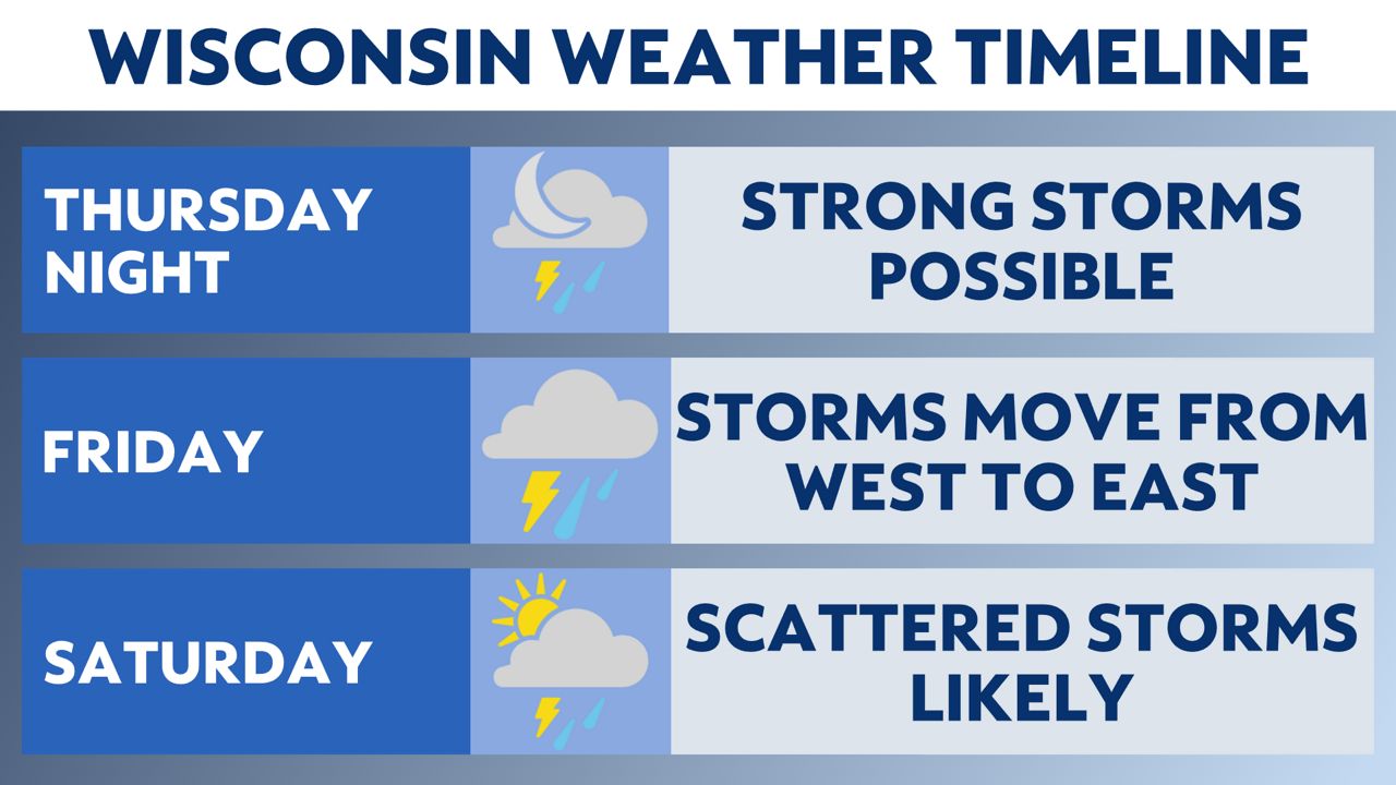
There will be more opportunities for severe weather heading into the weekend. Your "Weather On The 1s" team will continue to update you if anything changes to the forecast.

You can now get weather push alerts through your Spectrum News app. These alerts allow you to get advanced notice of various weather conditions in and around your location.
Also, download our app to get up-to-date information on traffic and road conditions, along with potential closures.
Stay alert and weather-aware. Your "Weather On The 1s" team will continue to bring you the latest weather updates on-air and online.
Check your local forecast | Send us your weather photos
Follow the "Weather On the 1s" Team on social media for the latest weather updates:
Chief Meteorologist JD Rudd: Facebook | Twitter
Meteorologist Kristin Ketchell: Facebook | Twitter | Instagram
Meteorologist Brooke Brighton: Facebook | Twitter | Instagram


