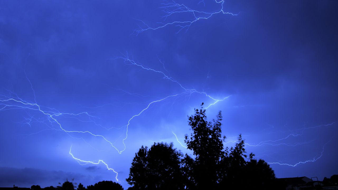
Another round of severe weather is possible overnight for portions of northern Wisconsin.
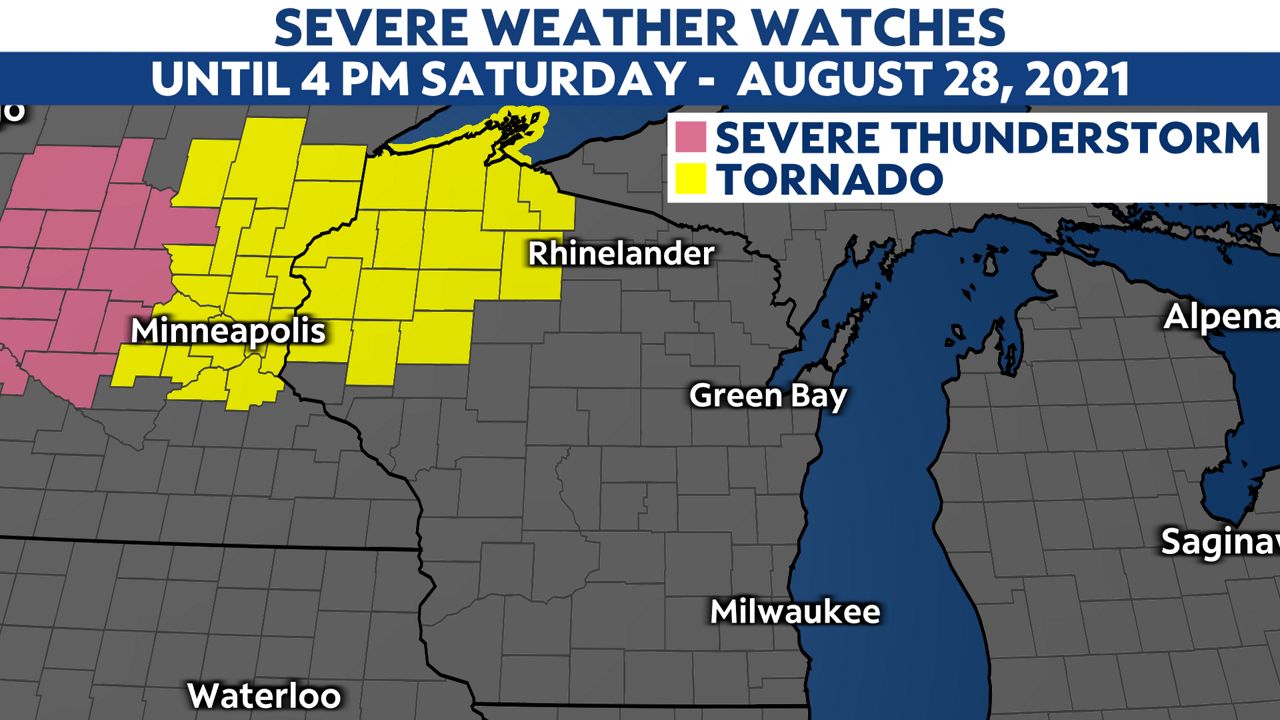
A Tornado Watch has been issued for Ashland, Bayfield, Burnett, Douglas, Iron, Price, Sawyer, Washburn, Barron, Chippewa, Dunn, Polk, Rusk, St. Croix counties until 4 p.m. this evening.
Conditions are favorable for isolated tornadic development. Please stay alert and informed.
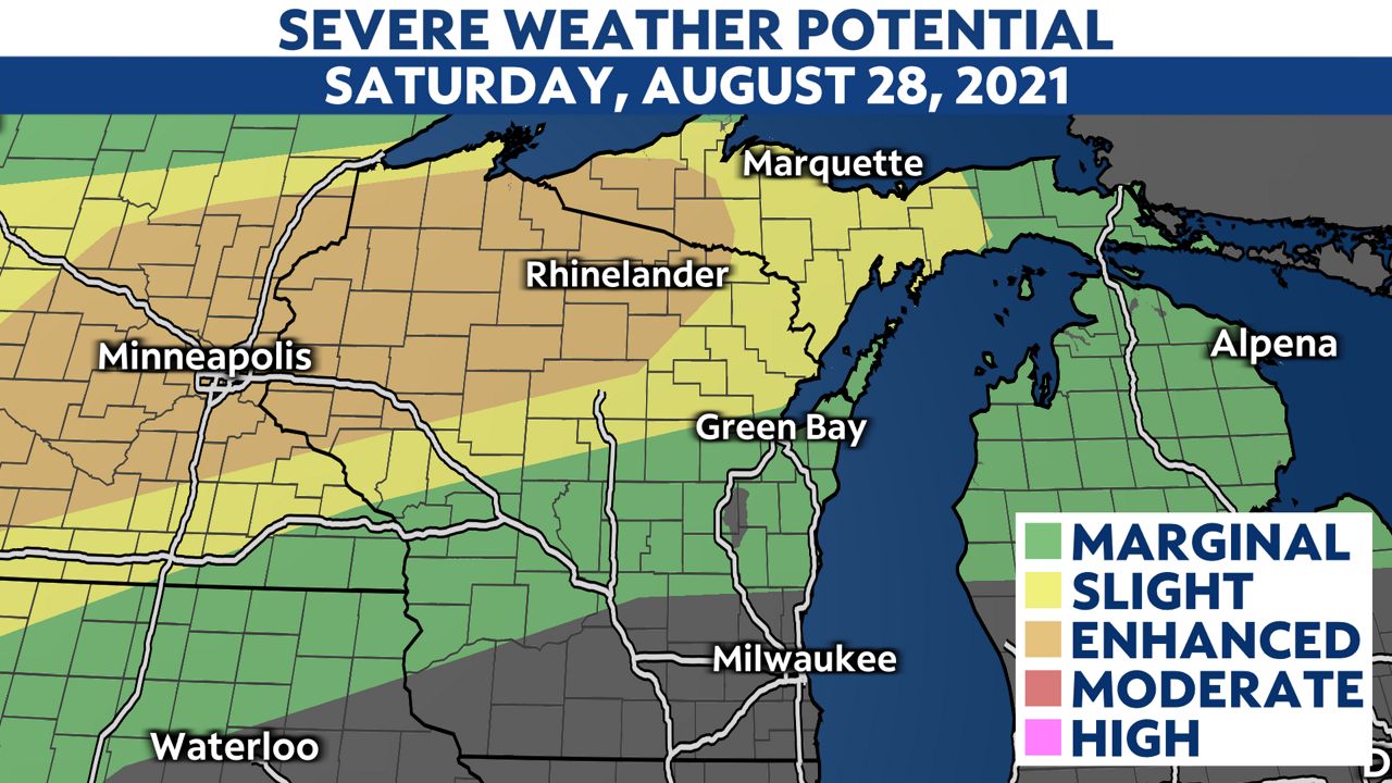
The Storm Prediction Center has placed much of northern Wisconsin under an enhanced risk (level 3 of 5 or "probable") for severe storms.
Eau Claire, Hayward, Wausau, Rhinelander, Park Falls, Mercer and cities in between have a chance to see severe storms. They should closely monitor the latest forecast.
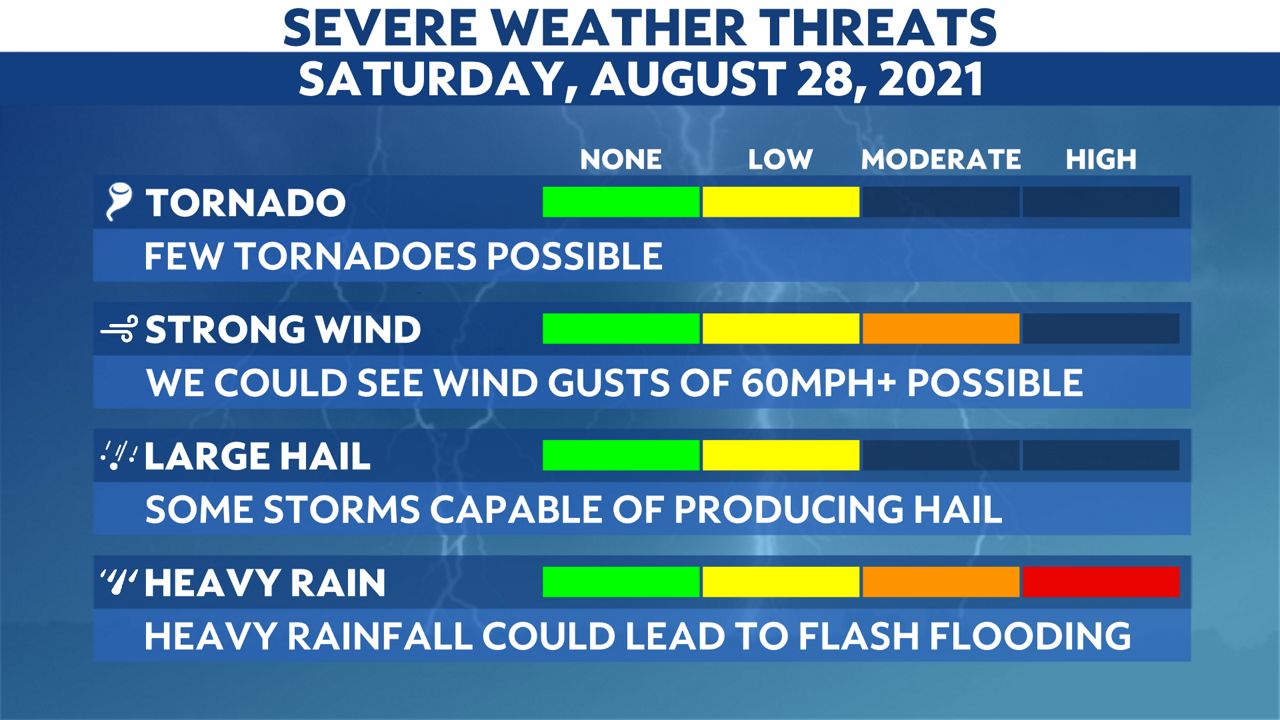
The main threats will be damaging winds, large hail and torrential downpours.
However, we cannot rule out an isolated tornado.
Winds gusts could exceed 60 mph. Rain rates could surpass an inch per hour.
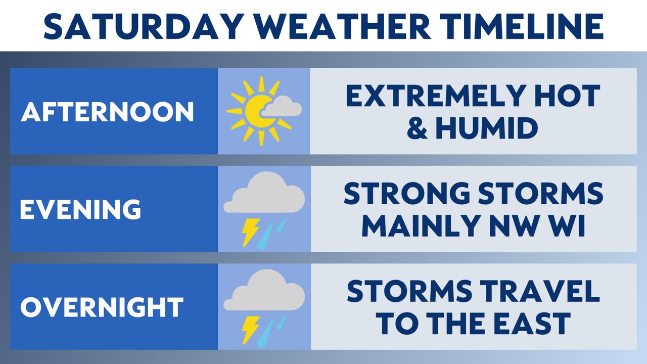
Most of Saturday will remain dry. Temperatures will quickly soar into the 80s and 90s. Heat indices will approach triple digits.
Thunderstorms creep back into northwestern Wisconsin by early evening. Storms should push into the Eau Claire area by 5 p.m.
Storms will quickly race east in two possible waves. The first wave will likely be the strongest and should exit the state shortly after midnight.
A secondary wave will move in overnight and clear by early morning. Additional heavy rain is possible.
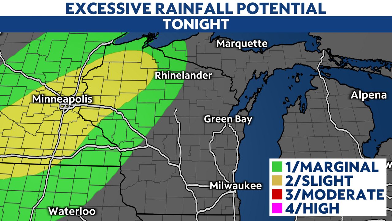
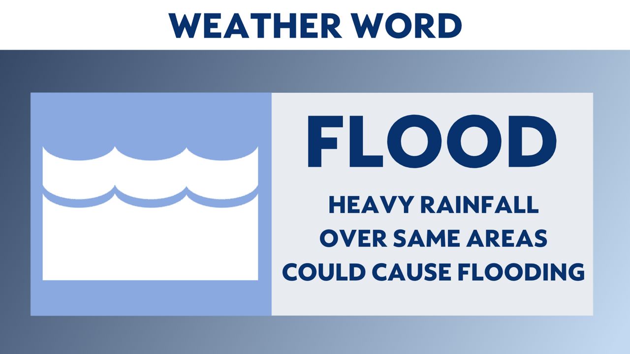
Repeated rounds of heavy rain will increase the potential threat of flooding. An additional 1-3 inches of rain is possible. The ground is already saturated, and any additional rain could become an issue.
Expect water to pond at times. Roadways may become flooded. Never drive through high water. Obey the saying, "Turn around, don't drown."
You can now get severe weather push alerts through your Spectrum News app.
These alerts allow you to get advanced notice of various weather conditions in and around your location.

Stay alert and weather aware. Your "Weather On The 1s" team will continue to bring you the latest storm updates on-air and online.
Check your local forecast | Send us your weather photos
Follow the "Weather On the 1s" Team on social media for the latest weather updates:
Chief Meteorologist JD Rudd: Facebook | Twitter
Meteorologist Kristin Ketchell: Facebook | Twitter | Instagram
Meteorologist Brooke Brighton: Facebook | Twitter | Instagram


