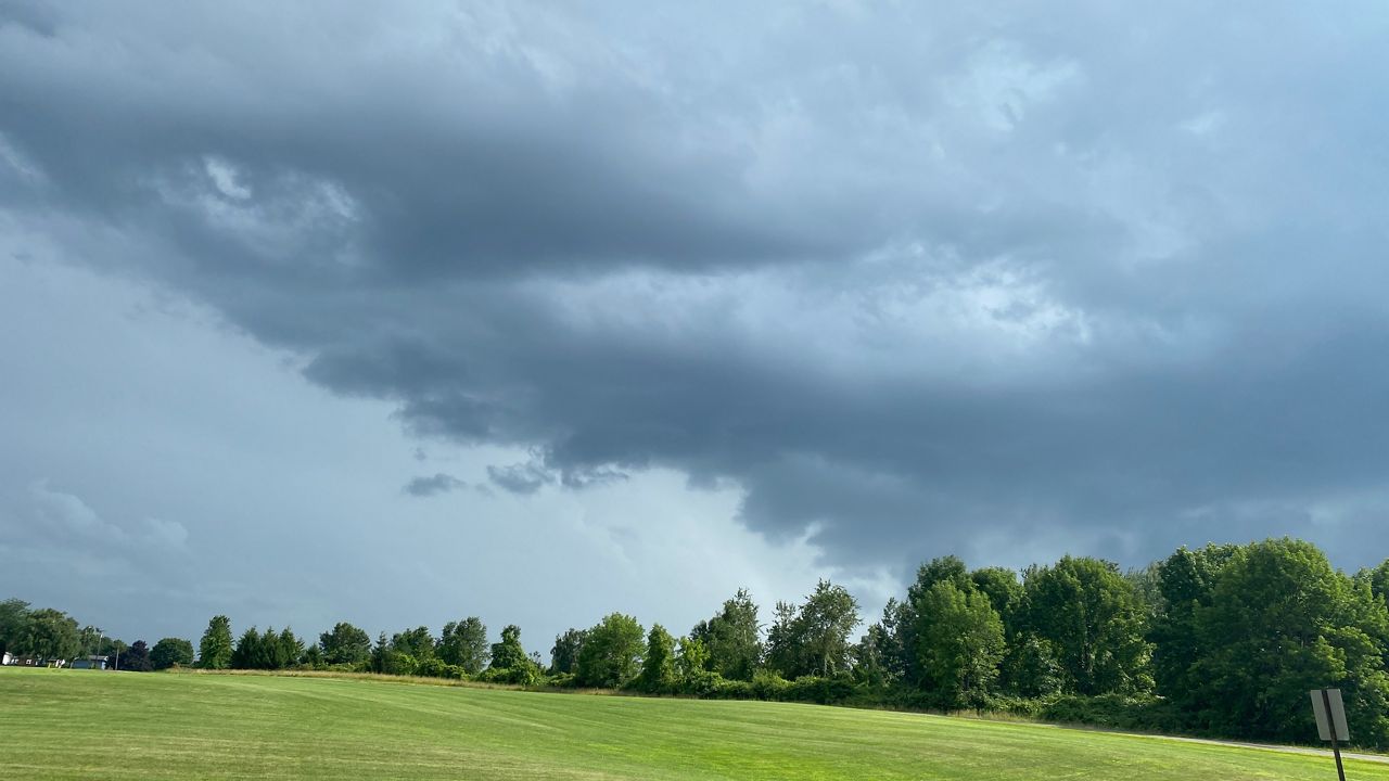
The threat for severe weather returns to Wisconsin for the last full week of August.
Your "Weather On The 1s" team will closely monitor storms this week and continue to bring you the latest updates on-air and online.
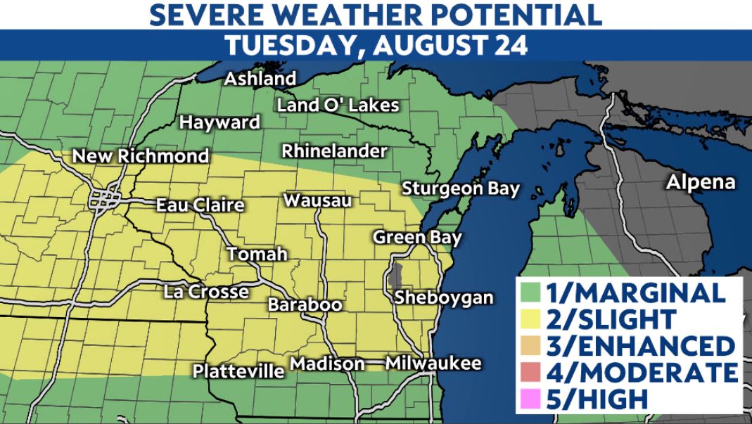
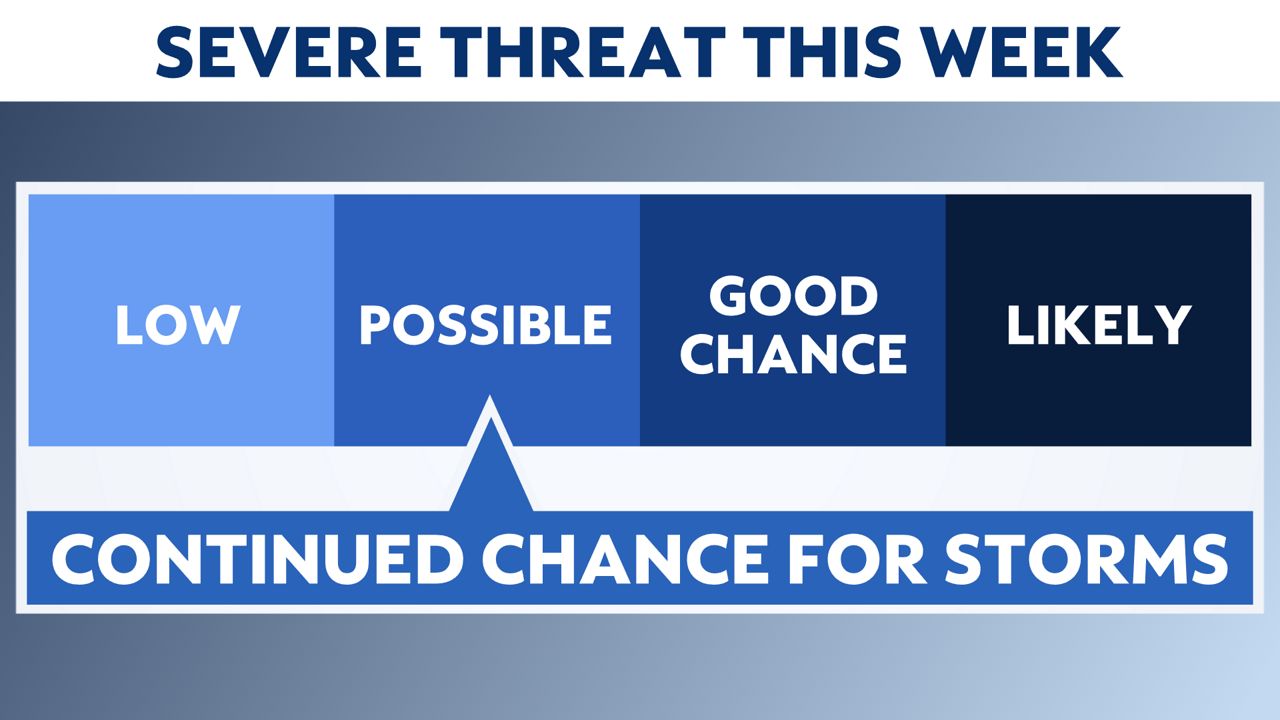
The Storm Prediction Center has placed the southern half of Wisconsin in a slight risk (severe level 2 out of 5 or "possible") for severe storms.
Cities such as Madison, Green Bay, Appleton, Waukesha, La Crosse, Platteville, Eau Claire, Baraboo, Oshkosh, Janesville and every city in between should closely monitor these storms.
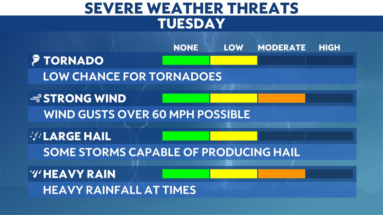
The main threat will be damaging winds that could exceed 60 mph.
Heavy rainfall and large hail could also be possible with storms that move through.
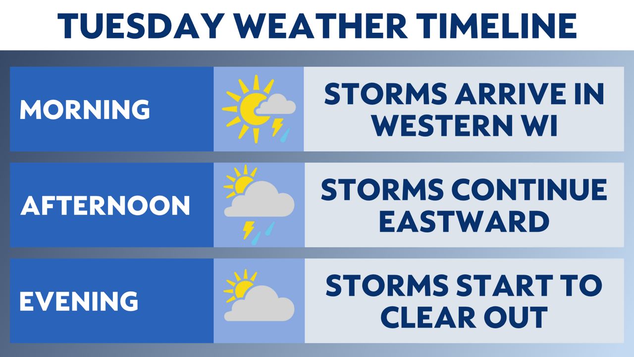
Strong to severe thunderstorms will continue to move through Wisconsin through Tuesday evening.
The first Severe Thunderstorm Warnings of the day were issued shortly before 7 a.m. in far western Wisconsin.
This cluster of storms will continue to move southeast throughout the day, leaving southeastern Wisconsin by late afternoon.
As we continue through the rest of the week, there will be a daily chance for rain.
Keeping in mind the return of hot and humid conditions, this will help to fuel the potential for more strong and severe storms the rest of the week.
Stay alert and weather aware. Your "Weather On The 1s" team will continue to bring you the latest storm updates on-air and online.

You can now get severe weather push alerts through your Spectrum News app. These alerts allow you to get advanced notice of various weather conditions in and around your location.
Check your local forecast | Send us your weather photos
Follow the "Weather On the 1s" Team on social media for the latest weather updates:
Chief Meteorologist JD Rudd: Facebook | Twitter
Meteorologist Kristin Ketchell: Facebook | Twitter | Instagram
Meteorologist Brooke Brighton: Facebook | Twitter | Instagram


