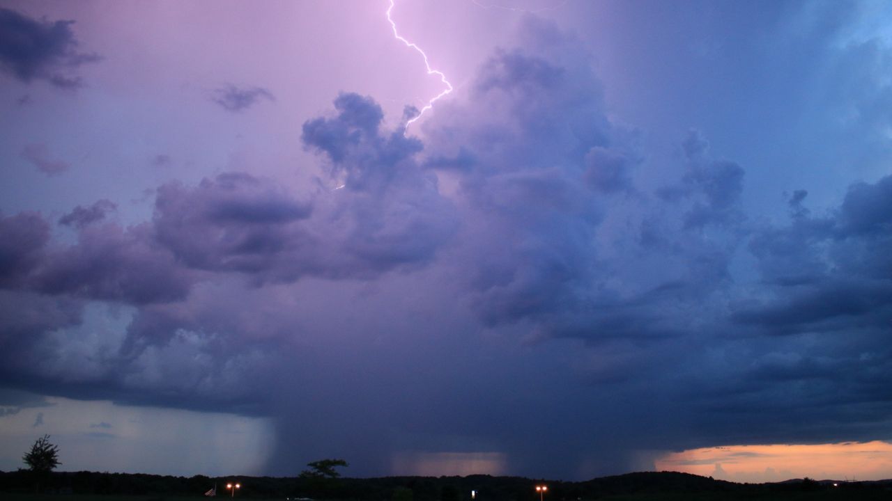
We'll continue to see a chance for strong and severe storms through Tuesday night.
For live updates, follow the thread at the bottom of the page.
Those areas shaded in yellow are under a slight risk for severe weather (2 out of 5 on our severe weather scale).
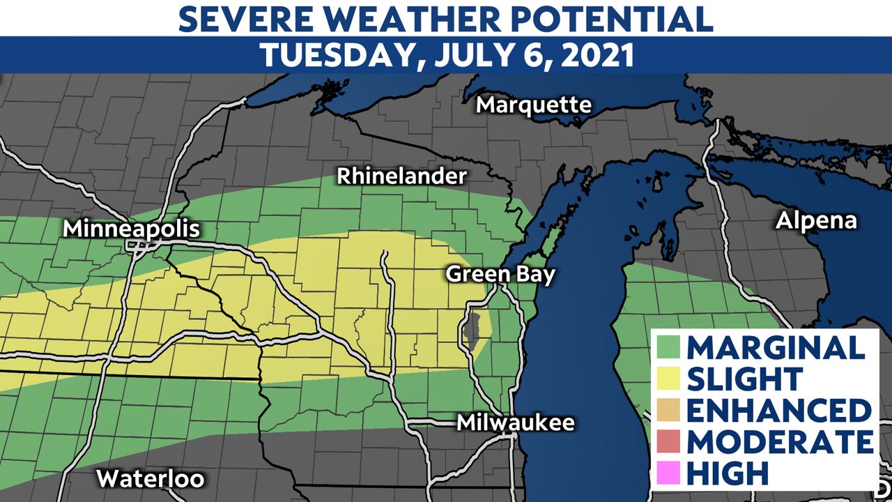
The main threats with these storms are damaging wind and large hail.
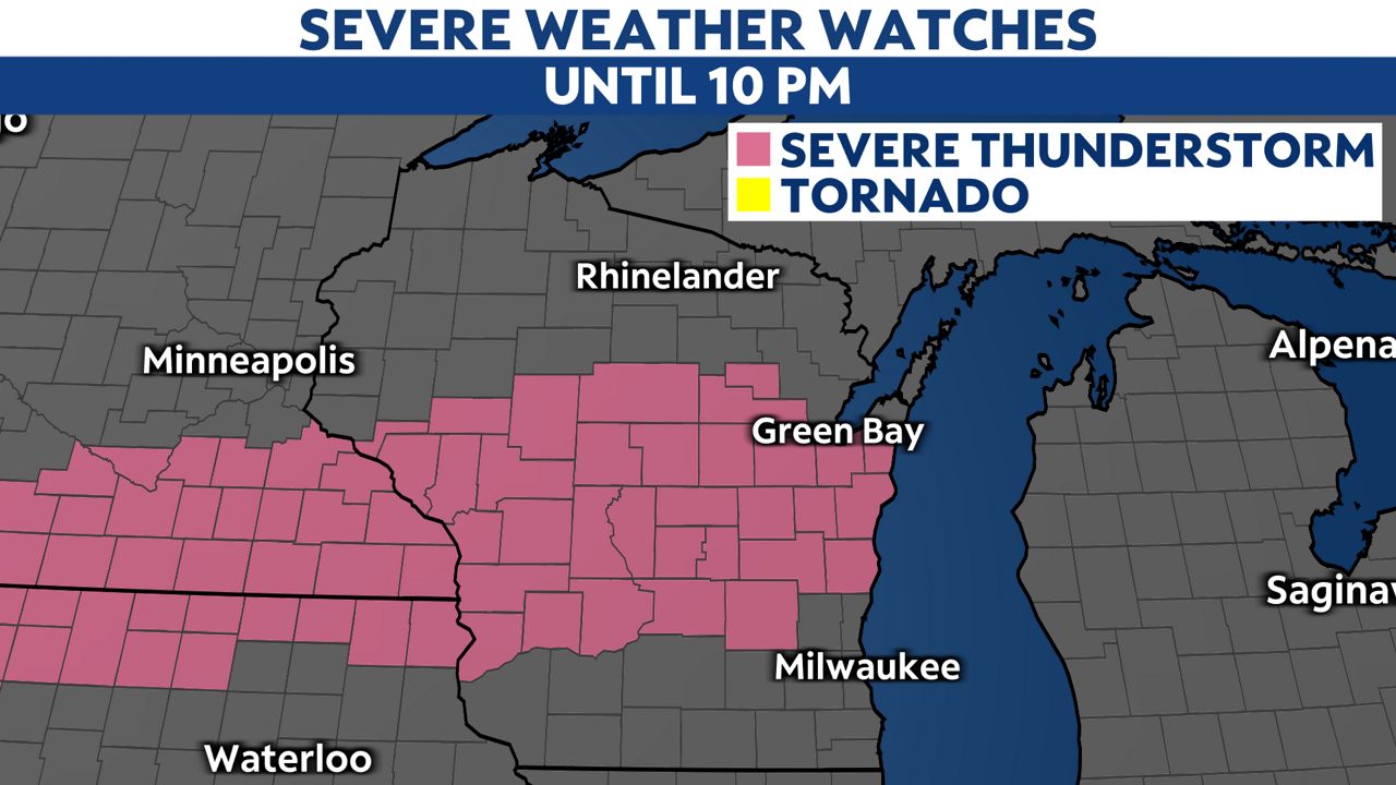
A Severe Thunderstorm Watch is in place until 10 p.m. Tuesday. We've already seen some severe storms move through Wisconsin, and we'll continue to see that chance through early tonight.
Storm reports we received included wind gusts over 55 mph and heavy rainfall near 2 inches in some locations.
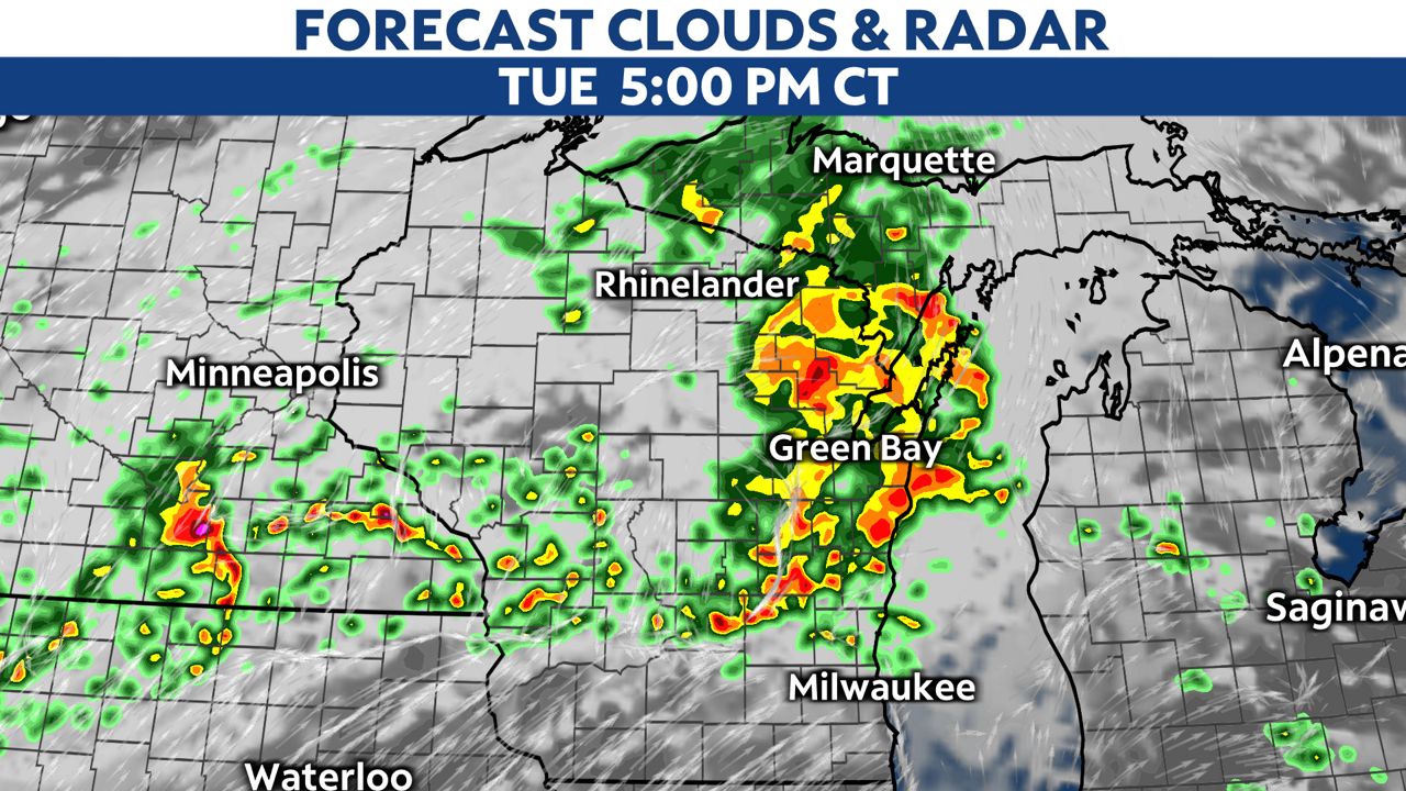
The best timing for strong and even severe storms will be late afternoon into the early evening.
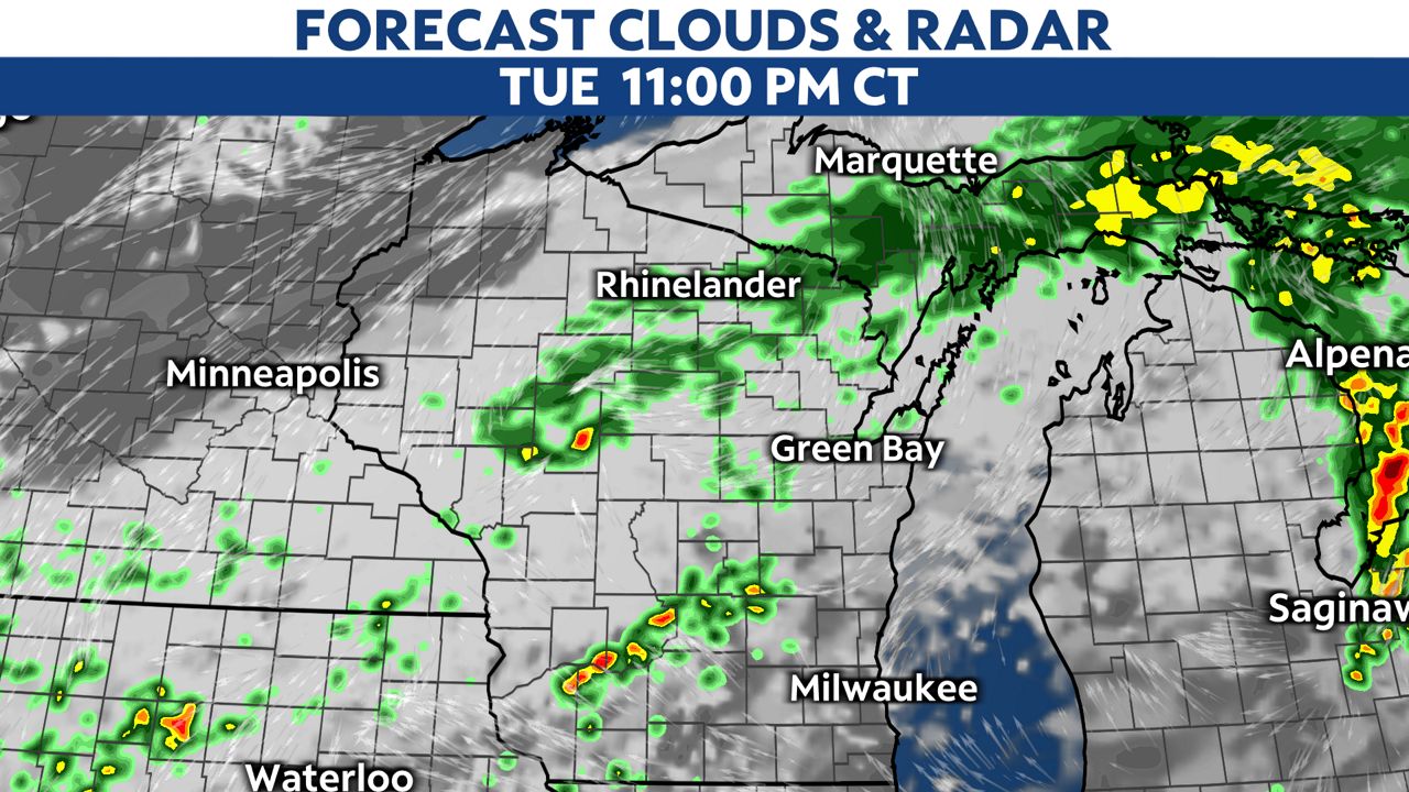
As we head into early Tuesday night, storms move out, and we see some showers move across parts of Wisconsin through Wednesday.

You can now get severe weather push alerts through your Spectrum News app. These alerts allow you to get advanced notice of various weather conditions in and around your location.


