


Have you ever looked up in the sky and wondered what type of cloud that may be?
Well, as meteorologists, we do that all the time! And it actually helps us predict the weather.
So many times when I'm with my friends, they ask me what type of cloud we're seeing (some even send me pictures posing the same question).
Fortunately for my friends, every single meteorology (or atmospheric sciences) class required us to take a cloud quiz at the beginning of each semester. By the end of college, I could look up in the sky and recite the type of cloud.
Since I enjoy being able to name the cloud types, I thought I'd dedicate a blog teaching you how to do the same!
When I was in third grade, we did an arts and crafts unit featuring clouds. The class was broken up into four groups and each group had to create a cloud using cotton balls.
Now depending on what cloud you received, you would either just stick the cotton balls on the canvas, as is, or you would have to form them into something else.
This exercise really helped me to visualize the four main categories of clouds (as was the idea of English naturalist, Luke Howard's cloud classification), and I'm hoping the pictures below will do the same for you.

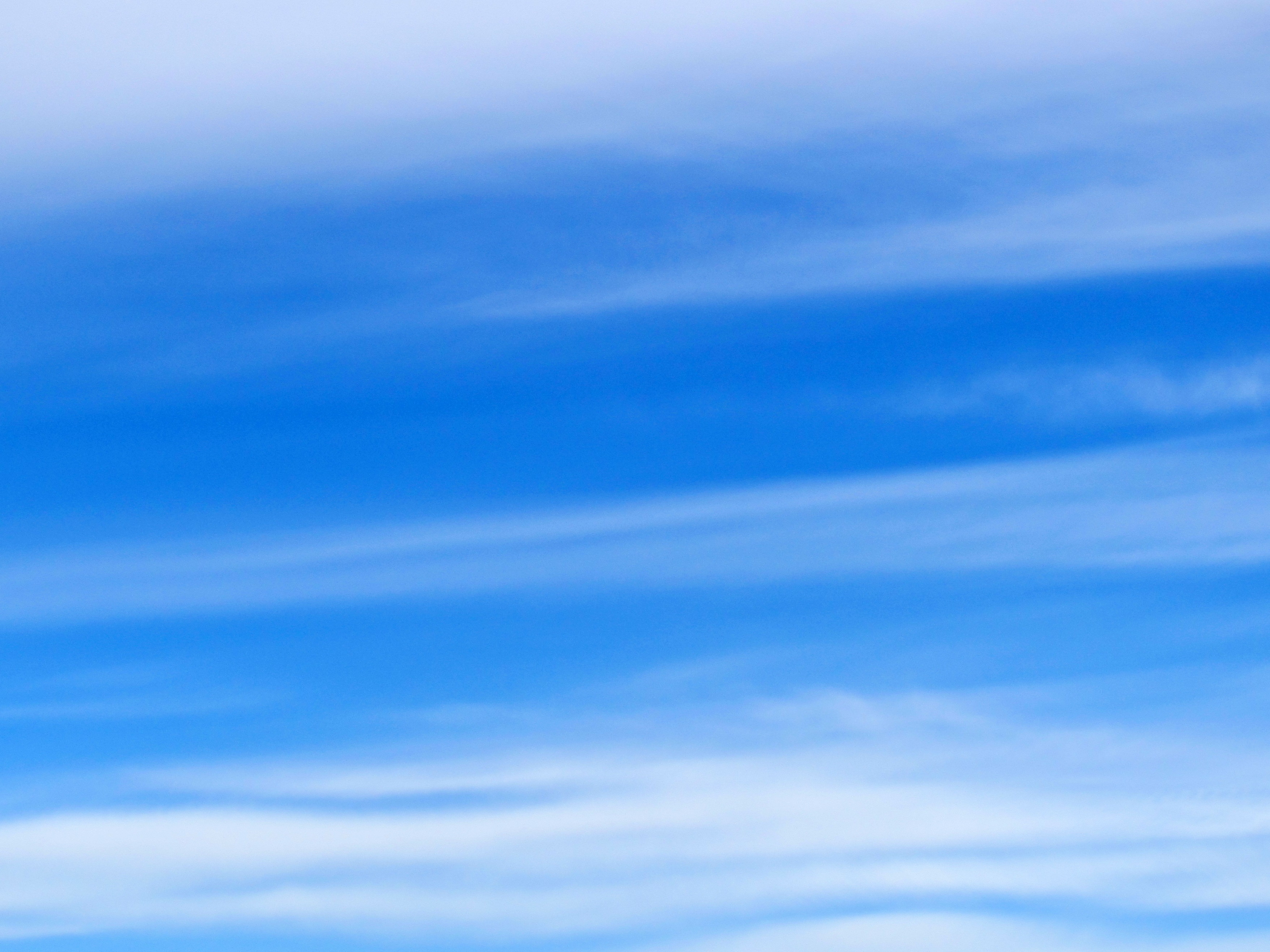
Cirrus
Appearance: Thin, wispy, high in the sky, formed of ice
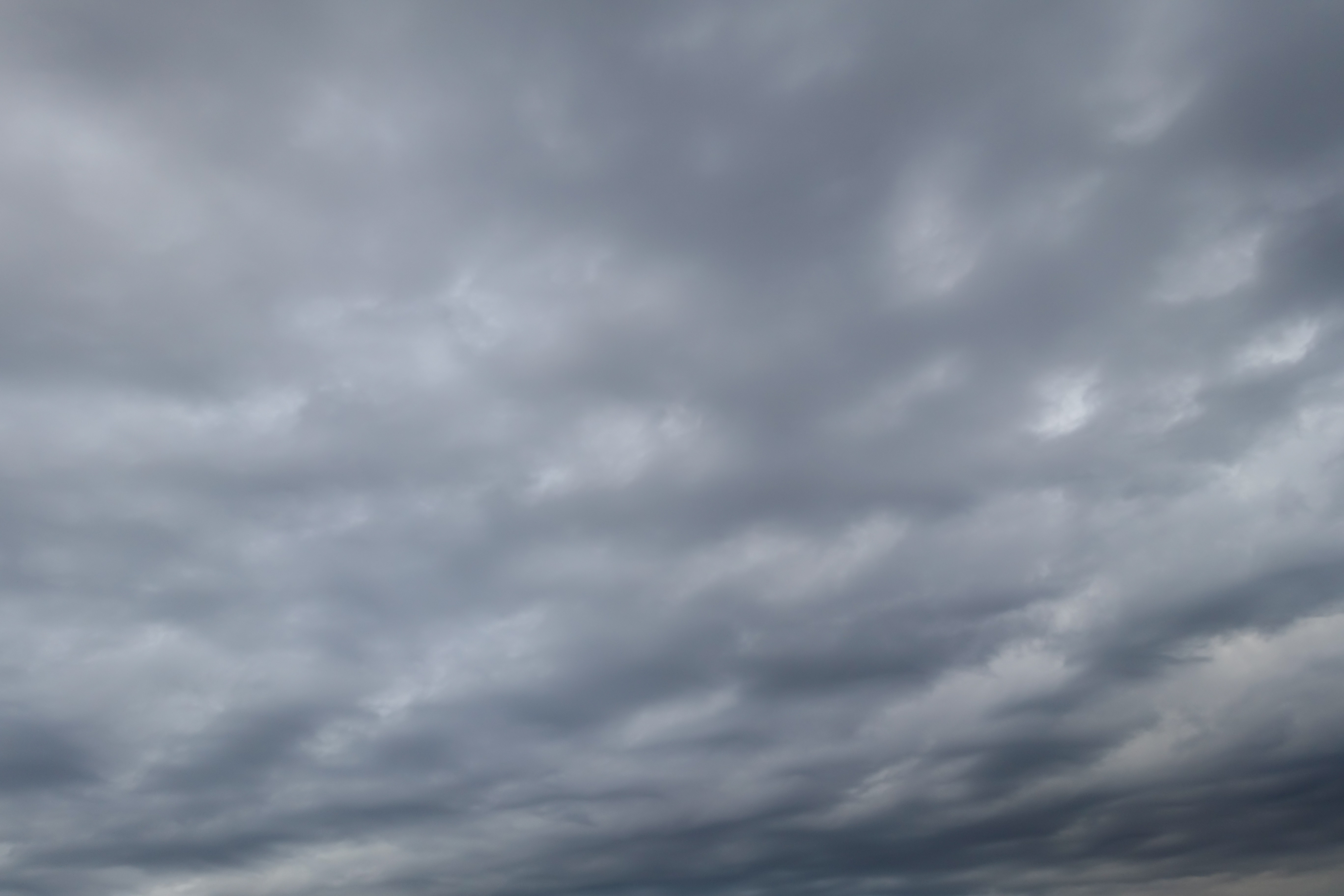
Stratus
Appearance: Layered, stretched out, often time takes up most of the sky
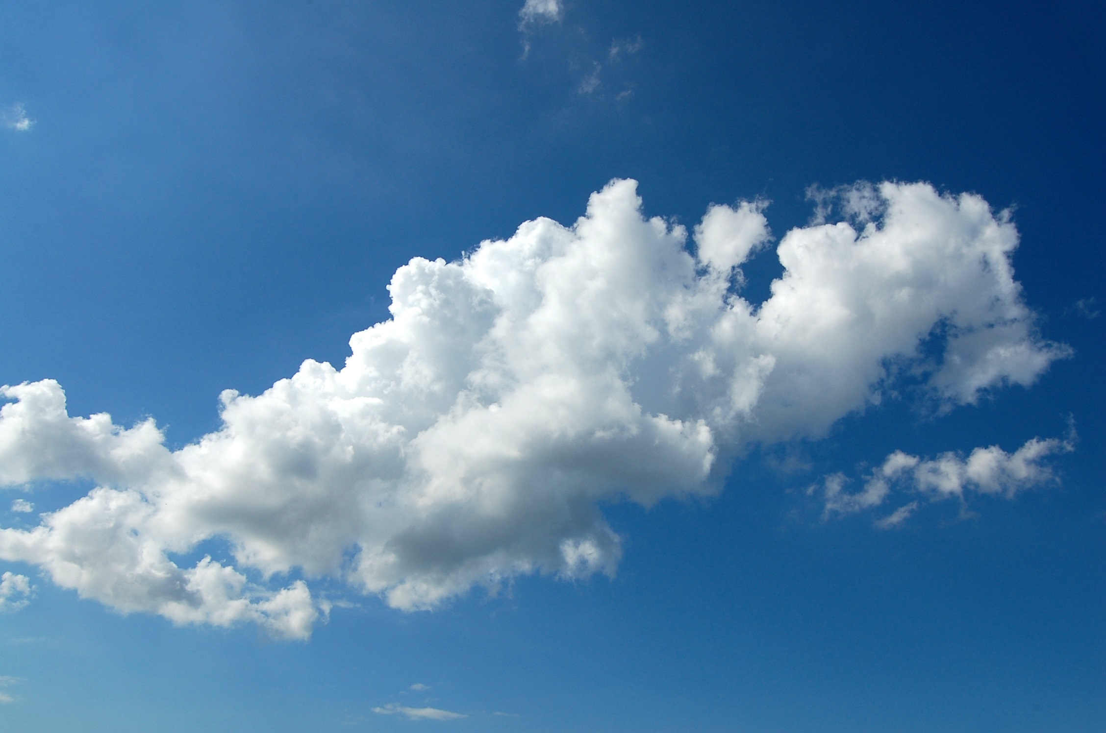
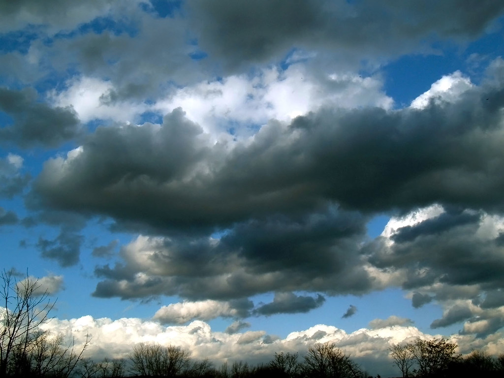
Cumulus
Appearance: Big, fluffy, associated with vertical development
Nimbus
Appearance: Rain-producing clouds, ones that you would see on a rainy day
The current cloud classification we use today is more developed. It still takes the ideas of Howard's system, but advances it.
With this classification scheme, there is now opportunity for new combinataions of clouds. The following clouds are based off of their height AND form.
Cirrus
Description: (as mentioned above) Thin, white, wispy clouds.
When you see cirrus clouds, it is often associated with pleasant weather.
Cirrostratus
Description: Shallow clouds that almost appear transparent.
Cirrostratus have a lower concentration of ice crystals than cirrus.
Example: When you see a halo around the sun or moon, this is usually due to cirrostratus clouds.
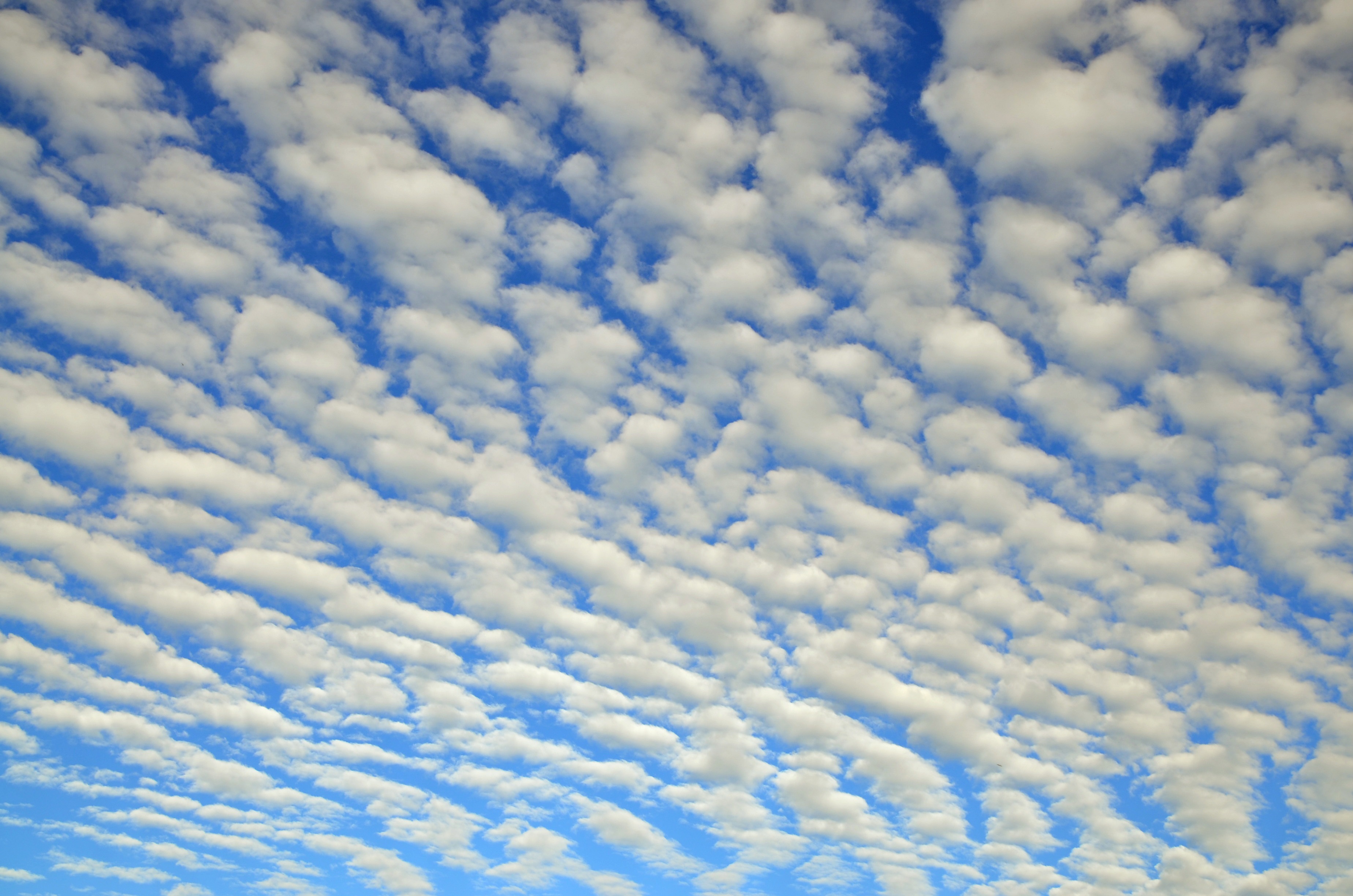
Cirrocumulus
Description: High, layered clouds, that looks like small, pulled apart piece of cotton candy.
These type of clouds form during wind shear (the action of wind speed [and/or direction] changing with height).
Fun Fact: Cirrocumulus clouds also are associated with the term "mackerel sky". This often is used as a sign for precipitation in the coming days.
Altostratus
Description: Although not the lowest layer cloud, it still has the same effect as stratus clouds, stretching out more of the sky.
These clouds are primarily composed of liquid water.
Instead of forming a halo around the sun like cirrostratus, it instead leaves a bright spot behind the clouds (so making the sun more translucent in appearance).
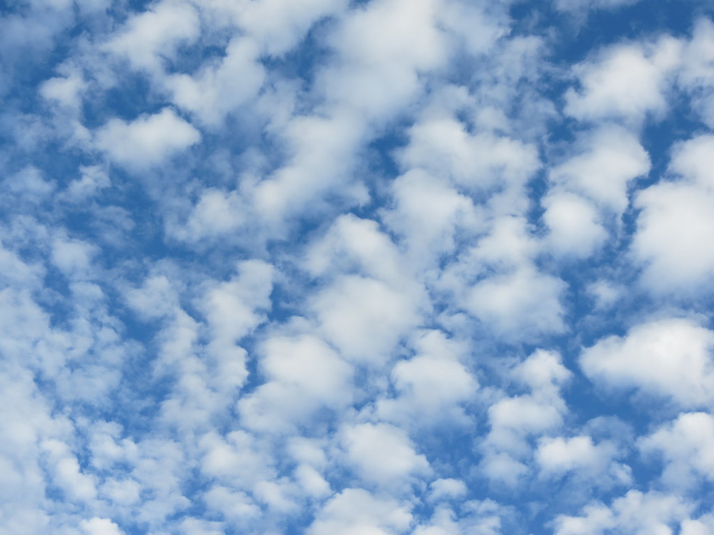
Altocumulus
Description: Mid-level clouds that have the appearance of popcorn scattered through the sky.
In other words, you can tell these clouds apart if you see a series of puffy clouds in a row.
Stratus
Description: (as mentioned above) Layered clouds ranging from white to gray.
Stratocumulus
Description: Low-level, very similar to the appearance of altocumulus.
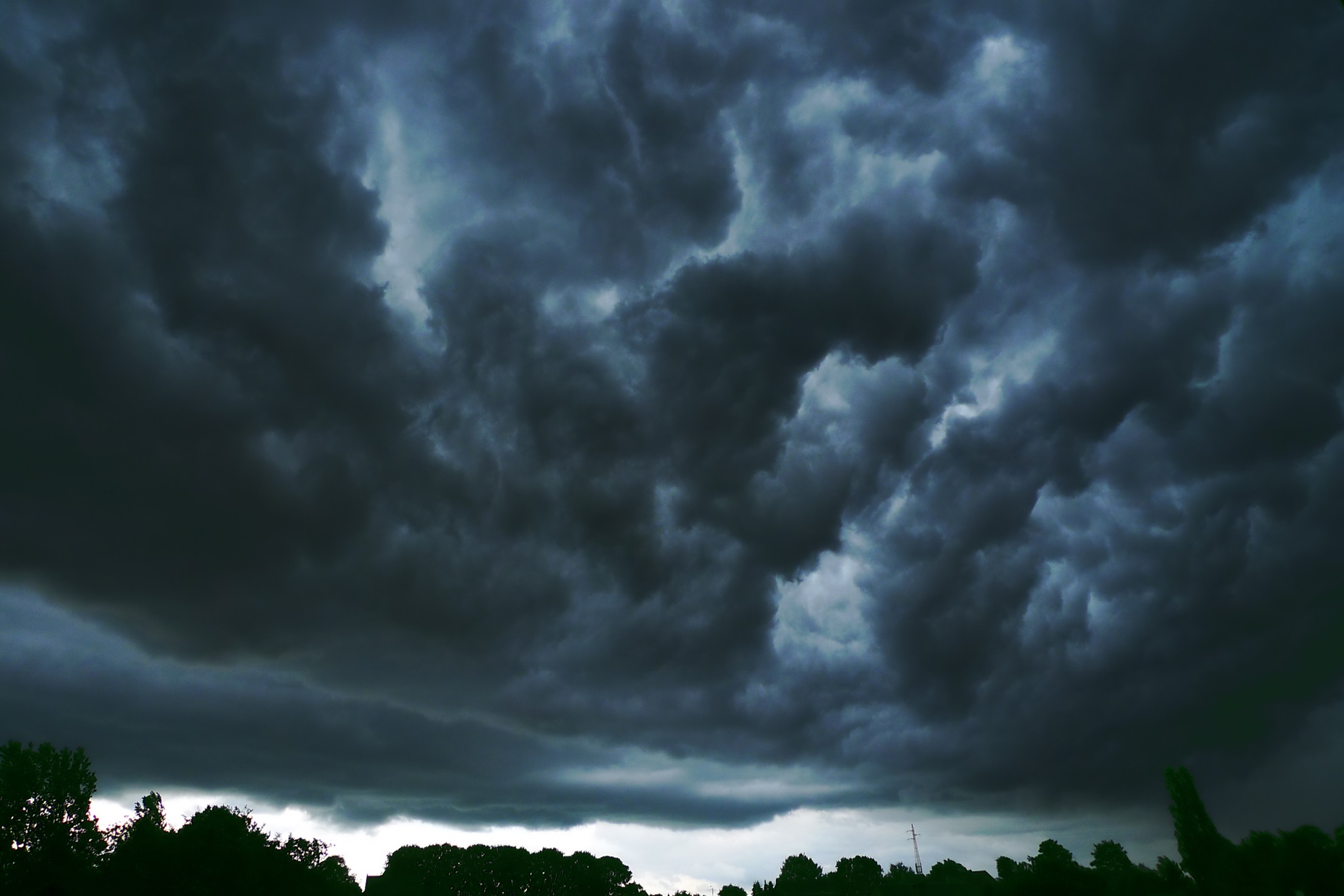
Nimbostratus
Description: Low clouds, often darker in color, producing light rain.
Although these clouds have the same appearance as stratus, the main difference is that it's able to produce precipitation.
Cumulus
Description: (as mentioned above) Big, fluffy, billowy clouds associated with moderate vertical development.
Have you heard of "fair-weather" cumulus clouds? The plume of rising air, due to localized heating at the surface, does not produce precipitation.
So when you're out in a field finding shapes or objects that a cloud may look like, you are probably doing this with cumulus clouds.
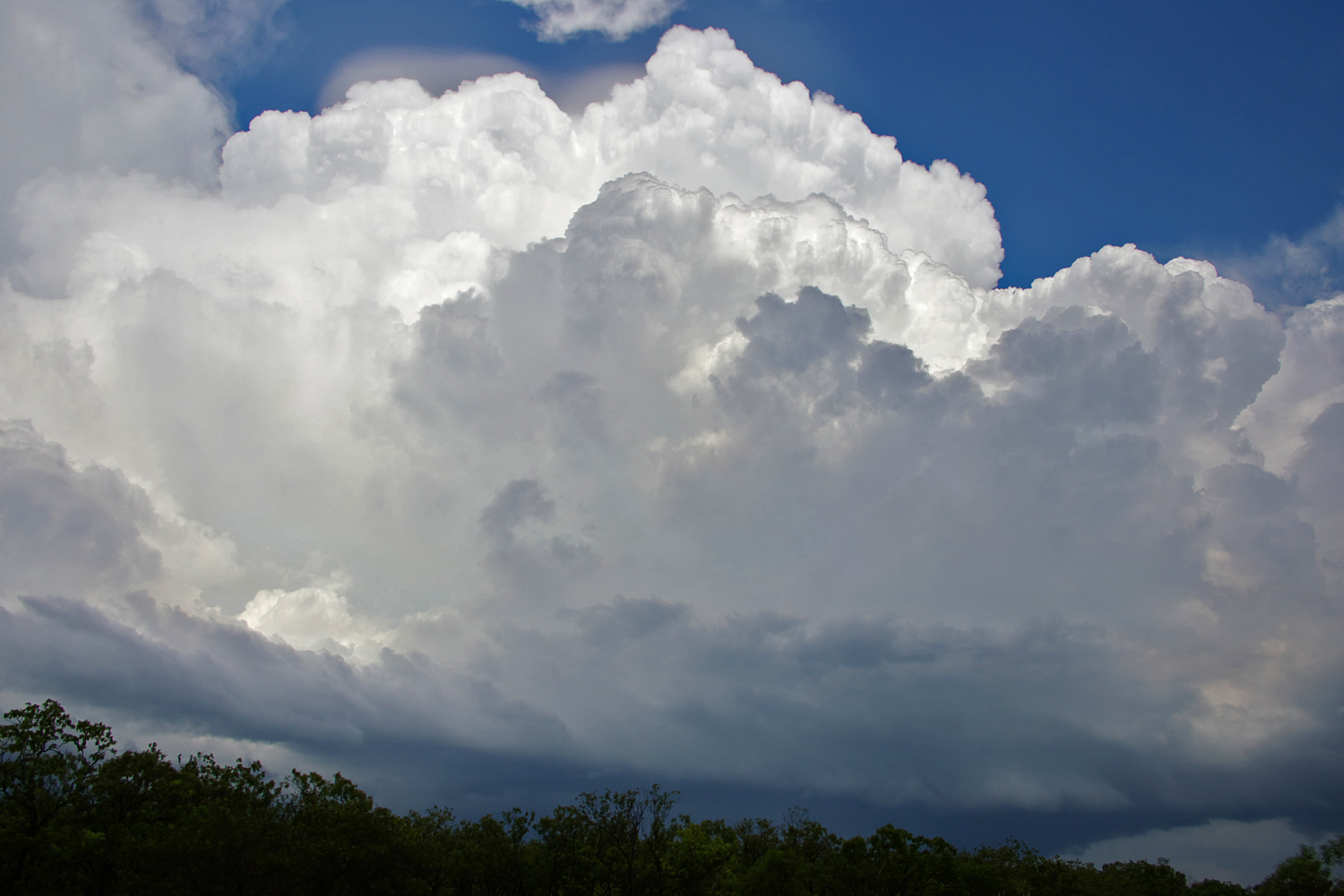
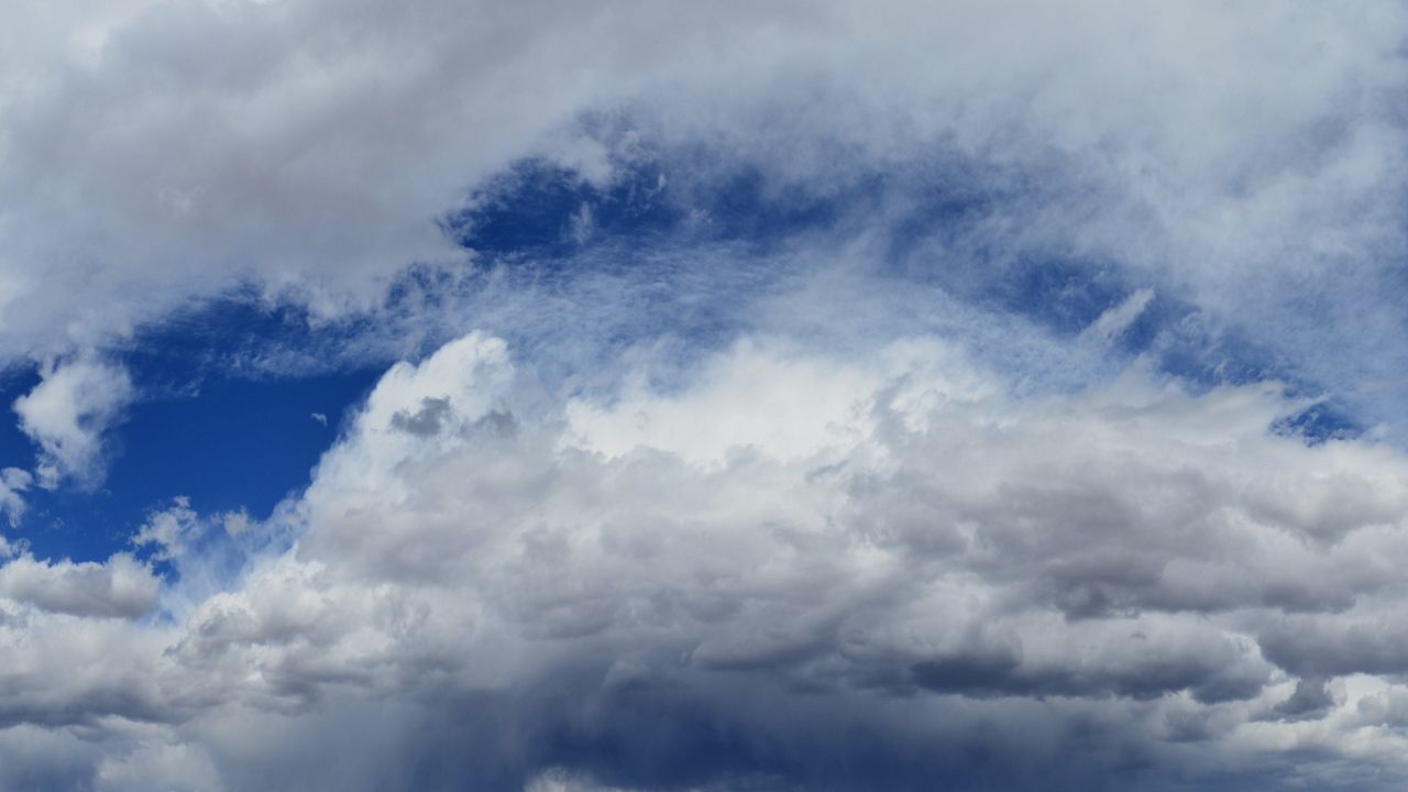
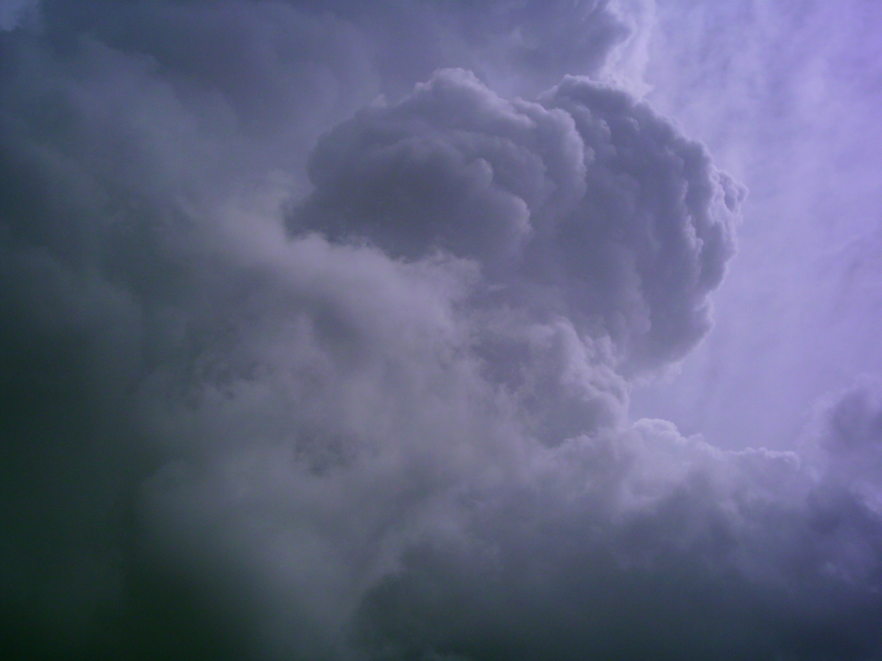
Cumulonimbus
Description: The cloud that has the highest vertical development in the sky and produced an anvil-shaped top.
When a strong thunderstorm moves through, this is often associated with a cumulonimbus cloud.
Because of the warm, humid, unstable air, the clouds is able to take up the atmosphere from just above the surface throughout the rest of the troposphere.
Pilots try to avoid driving through cumulonimbus clouds to avoid turbulence (caused by shifts in vertical winds).
So the next time you look up at the sky, try naming the clouds using this blog!