


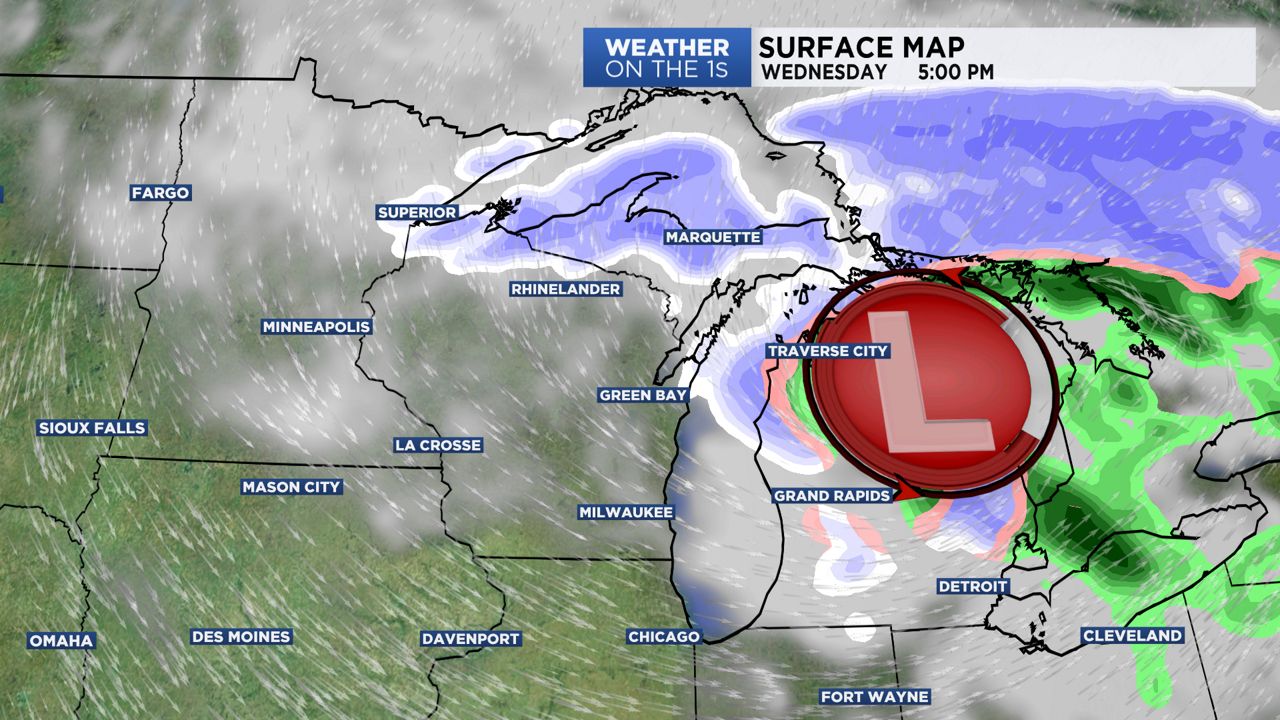
Tracking a strong low pressure system to pull away across the Great Lakes into Canada. Winds are still strong during the Wednesday evening commute with gusts up to 50 mph. Temps continue to fall with 30s into the afternoon. Quite night ahead but still breezy with mostly cloudy skies.
Quite for Thanksgiving, but chilly as highs make it a few degrees above freezing. Clouds begin thickening up Thursday night as our next travel headache maker arrives off the Great Plains. In southern Wisconsin this will mainly be a rain event. To the northern part of the state it will be mostly snow and accumulating snow at that.
The low pressure system will be strong with more wind, rain, and snow. However, it won't be as nasty as Wednesday's storm system. Best chance for any accumulating snow will be on Sunday for the Milwaukee area. As we start the new work week cold and dry conditions will be settling on in.
GREATER MILWAUKEE AREA FORECAST:
Tonight: Mostly cloudy sky, still windy. | Low: 29 | Wind: W 15-25mph
Thanksgiving: Mostly cloudy sky and colder. | High: 38 | Wind: N 5-15mph
Friday: Mostly cloudy and chilly with a few rain/snow showers developing late. | Low: 33 | High: 40 | Wind: E 5-15mph
Saturday: Cloudy with a high chance of rain. Not as chilly. | Low: 35 | High: 43
Sunday: Cloudy sky and a little colder. Light snow showers possible in the morning. | Low: 35 | High: 40
Monday: Mostly sunny but colder. | Low: 30 | High: 37
Tuesday: Partly cloudy and staying cold. | Low: 27 | High: 39
Follow the "Weather On the 1s" Team on social media for the latest weather updates:
Chief Meteorologist JD Rudd: Facebook | Twitter
Meteorologist Kristin Ketchell: Facebook | Twitter | Instagram
Meteorologist Brooke Brighton: Facebook | Twitter | Instagram
Meteorologist Matt Jones: Facebook | Twitter