


MILWAUKEE — Have you ever wondered where political boundaries come from? How are they drawn in the first place?
Those questions can be answered with a trip to campus in Milwaukee, where one professor is trying to take people out of the process.
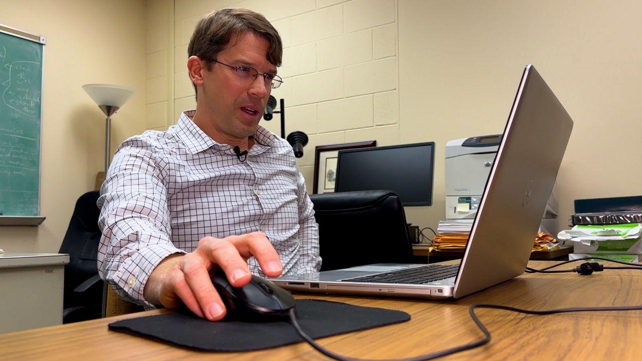
Matthew Petering knows how to solve complex problems as an engineering professor at UW-Milwaukee.
It’s common for professional map makers to use software to go about drawing political boundaries, but Petering, who started developing an algorithm five years ago, does it a bit differently.
Make no mistake—the effort is still a work in progress. However, Petering has made strides and even submitted a so-called “friend of the court” brief in the latest gerrymandering case decided by the state Supreme Court.
“And I had mentioned that an algorithm, in my opinion, was less biased than a person, worked faster than a human, as well as created better maps,” Petering explained of the effort.
Technology isn’t taking over the whole process, though.
Humans would still need to decide whether to adopt a map or present it to a court and even determine if it’s good or bad in the first place.
“It’s like you’re buying a home, and you’ve got 11 things you’re keeping track of when you buy this home,” Petering added. “You know, you want a good price, you want a good location, you want a great kitchen, you want a great upstairs, you want all this stuff—nice neighbors, a quiet area, a safe area—and pretty soon, you’ve got so much to think about it may be impossible to find what you’re looking for, so you’ve got to make some tradeoffs, and that’s kind of the case with map making.”
Petering’s maps were disqualified by the state Supreme Court early on because he wasn’t a party to the case. While he was disappointed at first, in the end, it didn’t matter since the Legislature passed maps and avoided court intervention altogether.
“If you look at the Evers map, compared to what we had, and you just look at all these criteria, I would say it’s definitely a better map,” Petering said. “I mean from the point of view of all these criteria looked at together.”
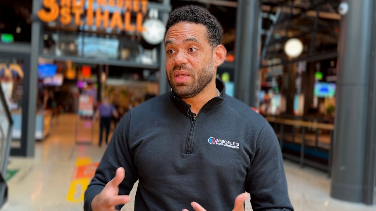
Christopher Ford is the former chair of the People’s Maps Commission created by Gov. Tony Evers in 2020 as an attempt at nonpartisan redistricting in Wisconsin.
“Maps are living and breathing things. There’s not going to be one perfect map or one perfect set of maps,” Ford said. “Each one of the maps, including the governor’s maps that were signed into place, differ a bit from the maps that we drew.”
The commission, handpicked by retired judges, spent a year drafting maps and taking submissions from almost 2,000 Wisconsinites across 68 counties.
“The maps that we will get, that are going to be the most fair, are probably going to be the ones that either side of the coin don’t feel as though they got a 100% win, and that is the idea we were striving for,” Ford explained.
Though the new maps aren’t exactly what Ford and his fellow commissioners came up with, he still feels like they accomplished what they set out to do.
“Ultimately, the goal that we set out to achieve, as the People’s Maps Commission, was achieved,” Ford stated. “To give those individuals that opportunity to be represented and to give them the opportunity to move forward and to better their communities and to make the conditions better for their families and their loved ones.”