


Behind a cold front that brought showers and a few storms to Wisconsin Tuesday, Wednesday will be a little bit cooler with high temperatures in most places in the upper 70s. After some patchy morning fog and low clouds, we will see sunshine by the afternoon with a cool northwesterly breeze.
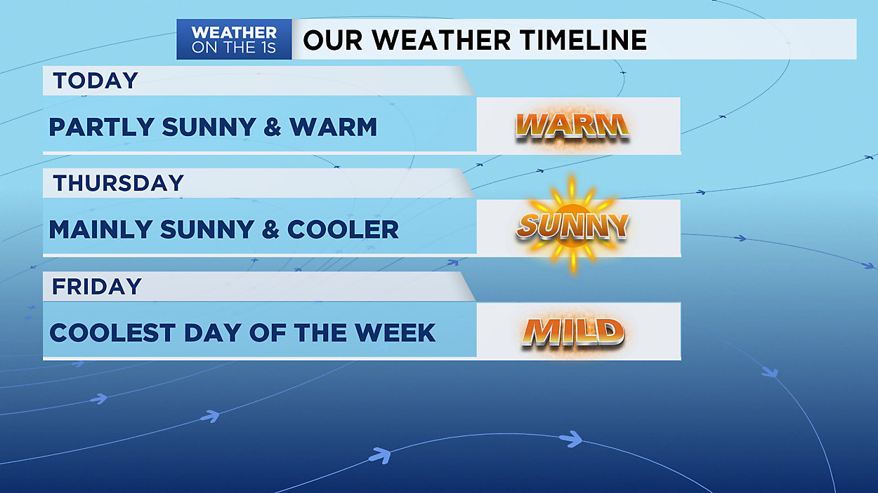
A little Fall preview is on the way for Thursday through Saturday as high pressure builds in and temperatures drop into the low 70s. Expect the sunshine to stick around this weekend with just a few more clouds moving in on Sunday.
Our next chance of wet weather looks to hold off until late Sunday night into Monday.
GREATER MILWAUKEE AREA FORECAST:
Wednesday: Partly cloudy, breezy and warm. | High: 79 l Wind: NW 10-15mph
Wednesday Night: Mostly clear and mild. | Low: 62 | Wind: N 3-6mph
Thursday: Mostly sunny and comfy. | High: 74 l Wind: NE 5-15mph
Friday: Mostly sunny and still pleasant. | Low: 59 | High: 71
Saturday: Partly cloudy and warmer. | Low: 59 | High: 74
Sunday: Partly cloudy and warm. | Low: 62 | High: 77
Monday: Partly cloudy and warm with a chance for rain/storms. | Low: 66 | High: 82
Tuesday: Partly cloudy and warm with a slight chance of a shower or storm. | Low: 68 | High: 80
Follow the "Weather On the 1s" Team on social media for the latest weather updates:
Chief Meteorologist JD Rudd: Facebook | Twitter
Meteorologist Kristin Ketchell: Facebook | Twitter | Instagram
Meteorologist Brooke Brighton: Facebook | Twitter | Instagram
Meteorologist Matt Jones: Facebook | Twitter