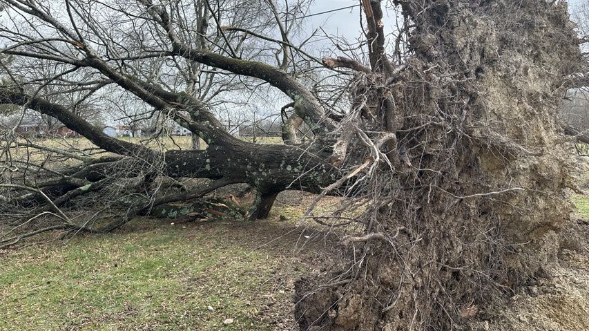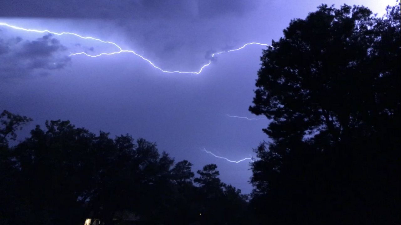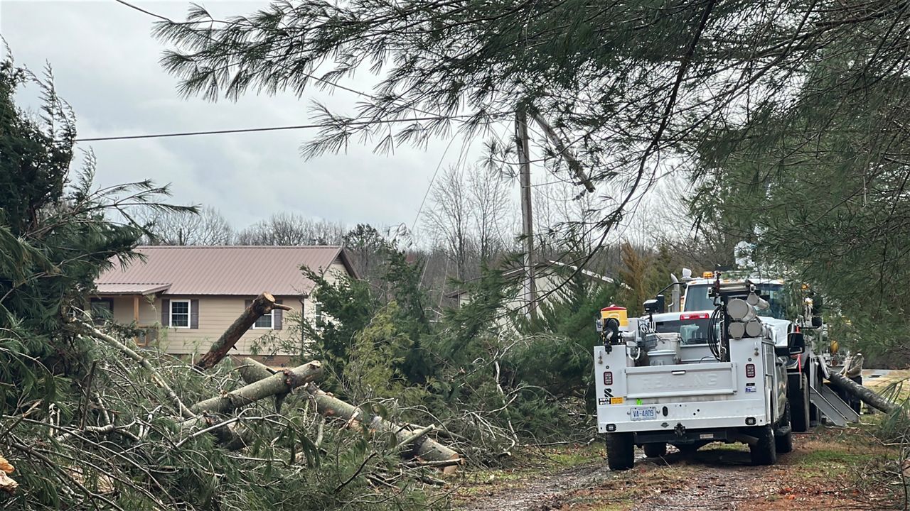
The Weather on the 1s team is tracking a strong storm system moving into the Carolinas for the end of the weekend.
A large part of the state remains under a slight risk, or level 2 of 5, for severe storms into the evening.
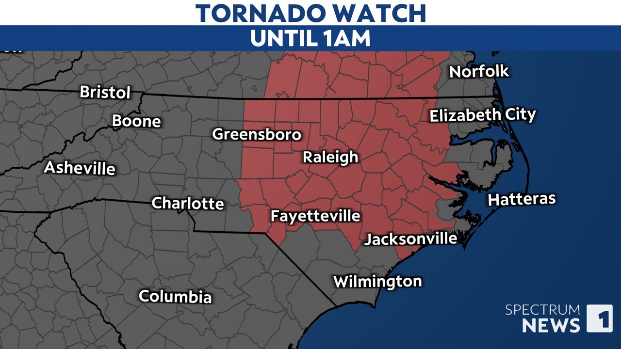
A tornado watch has been issued for much of central and eastern parts of the state through 1 a.m. Monday.
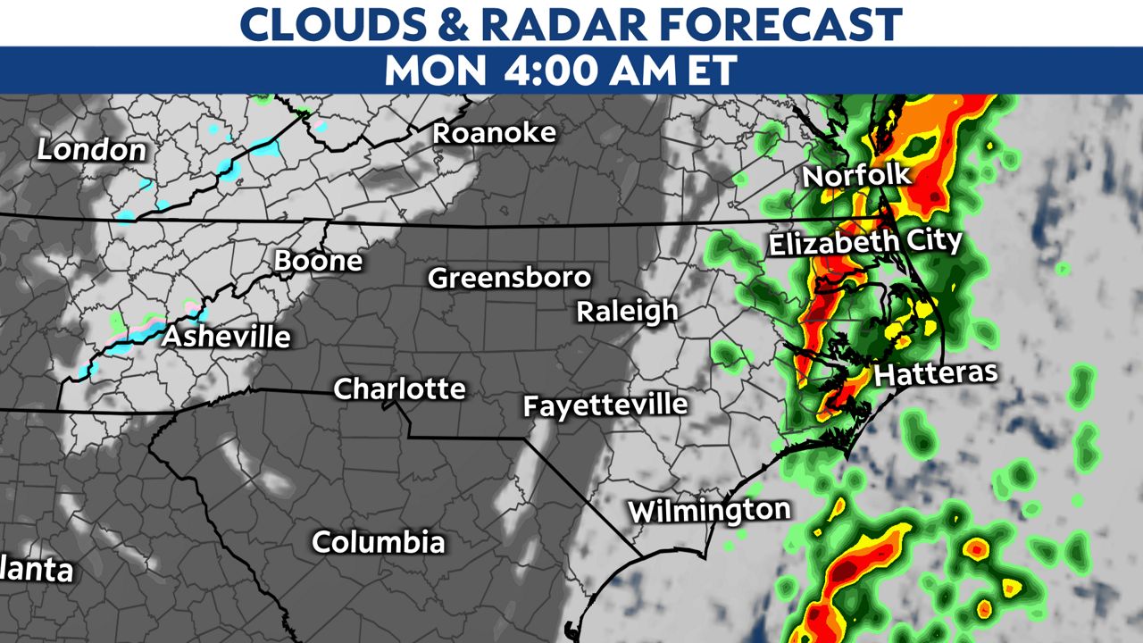
This comes well ahead of a cold front that will push through the state later tonight. Another round of thunderstorms capable of producing strong wind gusts and downpours will move through during that time.
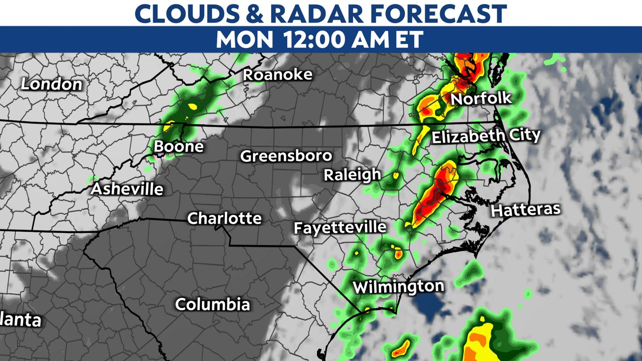
Those storms could linger in areas east of Interstate 95 through early morning Monday.
Make sure you have a way to receive weather alerts.
If a warning is issued for your area, quickly move to a small, interior room on the lowest floor of a sturdy building. Basements, closets, hallways and windowless bathrooms typically provide the best protection during a tornado or a storm producing damaging winds.
Stay tuned to Spectrum News 1 and the Spectrum News app for updates.
Our team of meteorologists dives deep into the science of weather and breaks down timely weather data and information. To view more weather and climate stories, check out our weather blogs section.