


Severe weather is possible across Ohio Wednesday morning as strong storms move across the state.
A Tornado Watch is in effect until 10 a.m. for much of central Ohio.
“Each round of storms bring the threat of severe weather," said. Spectrum News 1 Ohio Meteorologist Joe Astolfi. "Large hail, damaging winds and isolated tornadoes are possible. A strong tornado or two cannot be ruled out, we’re keeping a close eye on southwest Ohio specifically.”

“It’s really important that people have multiple ways to receive warnings,” he added.
A weather radio, smart phone apps, a television and battery operated radio are recommended by emergency management officials for methods of receiving severe weather information.
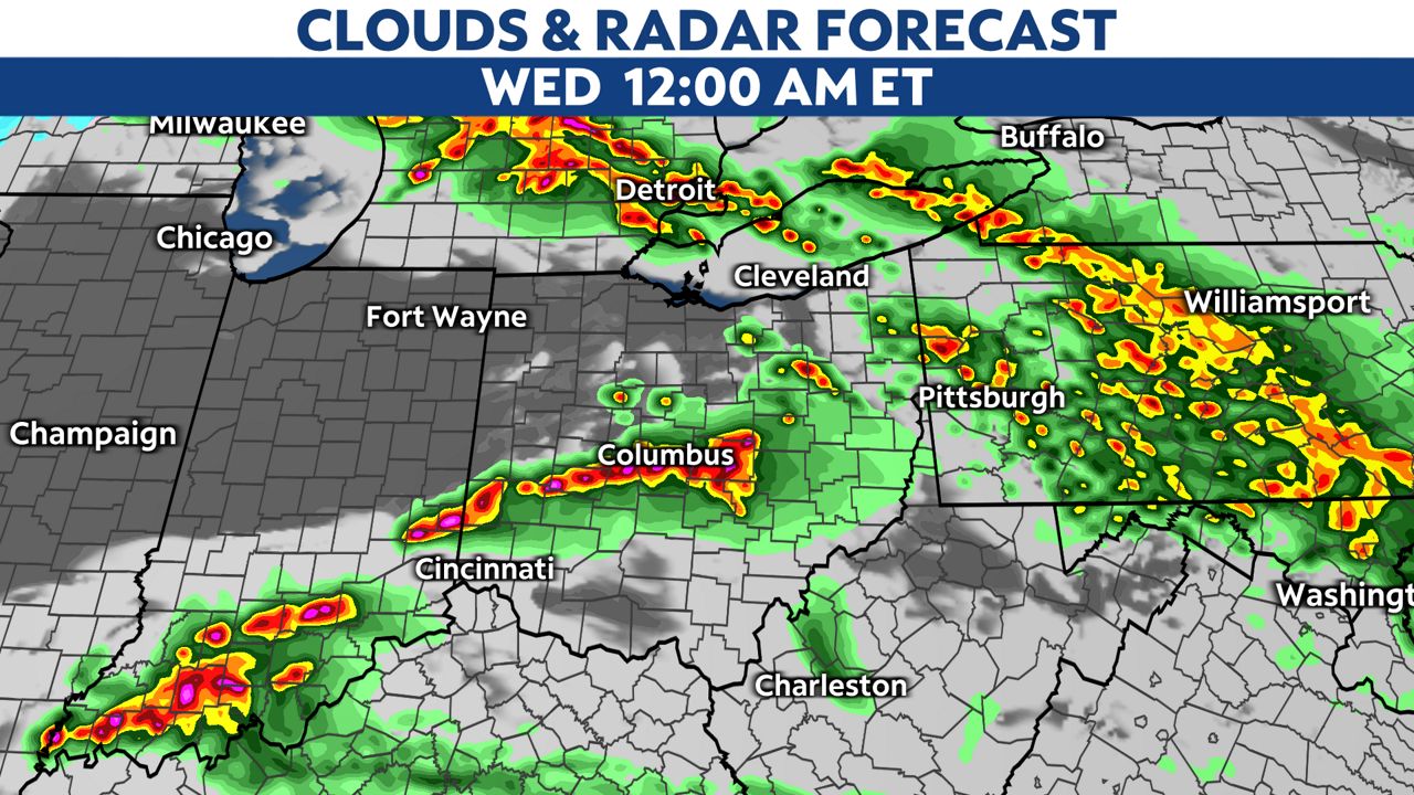
Flooding could also be a threat from several rounds of rain, especially in southeastern Ohio Wednesday morning.
After the storm system pushes to the east, winds are expected to increase during the mid-morning hours Wednesday and temperatures will fall. Isolated snow flurries will be possible, especially north.
“After a nice stretch of mild weather, temperatures will drop over the next few days, but warmer temperatures are on the way in the extended forecast," Astolfi said.