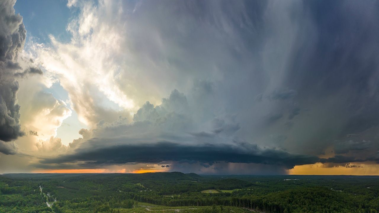
Strong to severe storms are moving across the Buckeye State, already creating power outages in its wake.
The Storm Prediction Center (SPC) has put most of Ohio under some level of risk for severe weather on Wednesday, with much of the northwestern half of the state under a slight or enhanced risk (level 2-3 of 5).
Damaging winds remain the biggest concern, with gusts over 60 mph possible. However, a few storms could produce hail or even an isolated tornado.

The first wave is already moving through the state, causing more than 28,000 people without people in the Toledo area as of 5 p.m., according to poweroutage.us.
The second wave of active weather will arrive late Wednesday night, where some storms could still be on the strong side around midnight.
Storms will produce damaging wind gusts along the leading edge, which tracks further east and southeast from 1-2 a.m.
Most the activity weakens when moving farther south of I-70.

Stay weather aware and prepare ahead of time before severe storms arrive. Sign up for weather notifications to receive the latest weather updates, and keep up with this article for the latest details on this event.
Our team of meteorologists dives deep into the science of weather and breaks down timely weather data and information. To view more weather and climate stories, check out our weather blogs section.


