


We're tracking widespread, potentially heavy rain today, along with a threat for a few severe storms.
In addition to heavy rain and flooding, a few strong or severe storms will be possible this afternoon and evening. Turn on weather notifications in the Spectrum News app here.
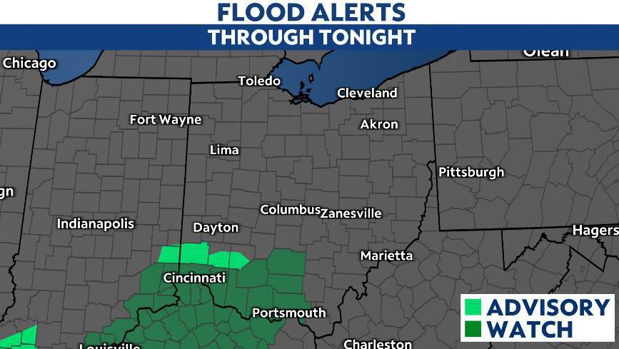
Heavy rain and the threat of flooding will persist, especially across parts of southwest Ohio, where Flood Watches are in place until 11 p.m.
After heavy rain this morning, an additional wave of rain and storms returns mid-to-late afternoon and lasts through the evening.
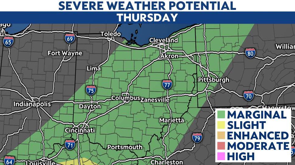
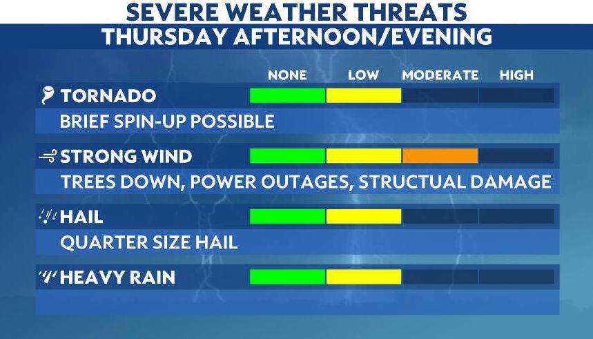
It is with this second wave that severe weather will be possible. The overall threat of widespread severe weather has diminished, but we can't rule out isolated storms capable of 60 mph straight-line winds, or even an isolated tornado.
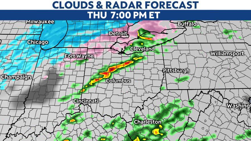
The cold front sweeps through the Ohio Valley Thursday evening, and behind the front, temperatures drop quickly.
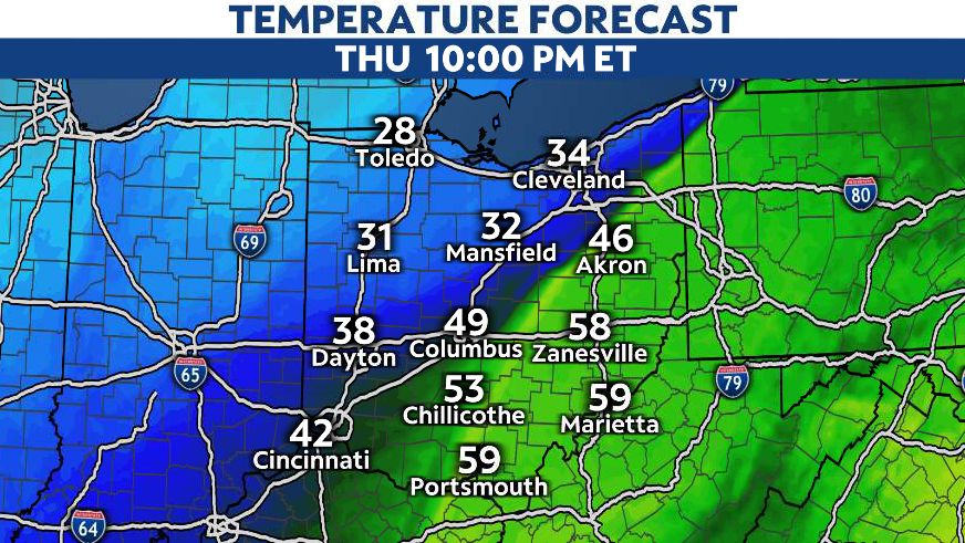
As the cold air arrives, our severe weather threat diminishes Thursday evening.
The greatest threats will be the potential for flooding as well as damaging straight-line winds.
Additionally, an isolated tornado is also possible.
Our team of meteorologists dives deep into the science of weather and breaks down timely weather data and information. To view more weather and climate stories, check out our weather blogs section.