


Overnight, parts of central and southern Ohio saw a 6-hour window of snowfall, with some snowfall rates of 1/2 inch to 1 inch per hour.
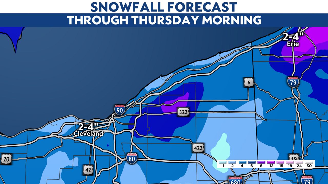
While the heaviest snow is in the rear-view mirror, Winter Weather Advisories remain in place across the northwest part of the state through Friday morning, with an additional 3 to 6 inches of lake-effect snowfall possible.
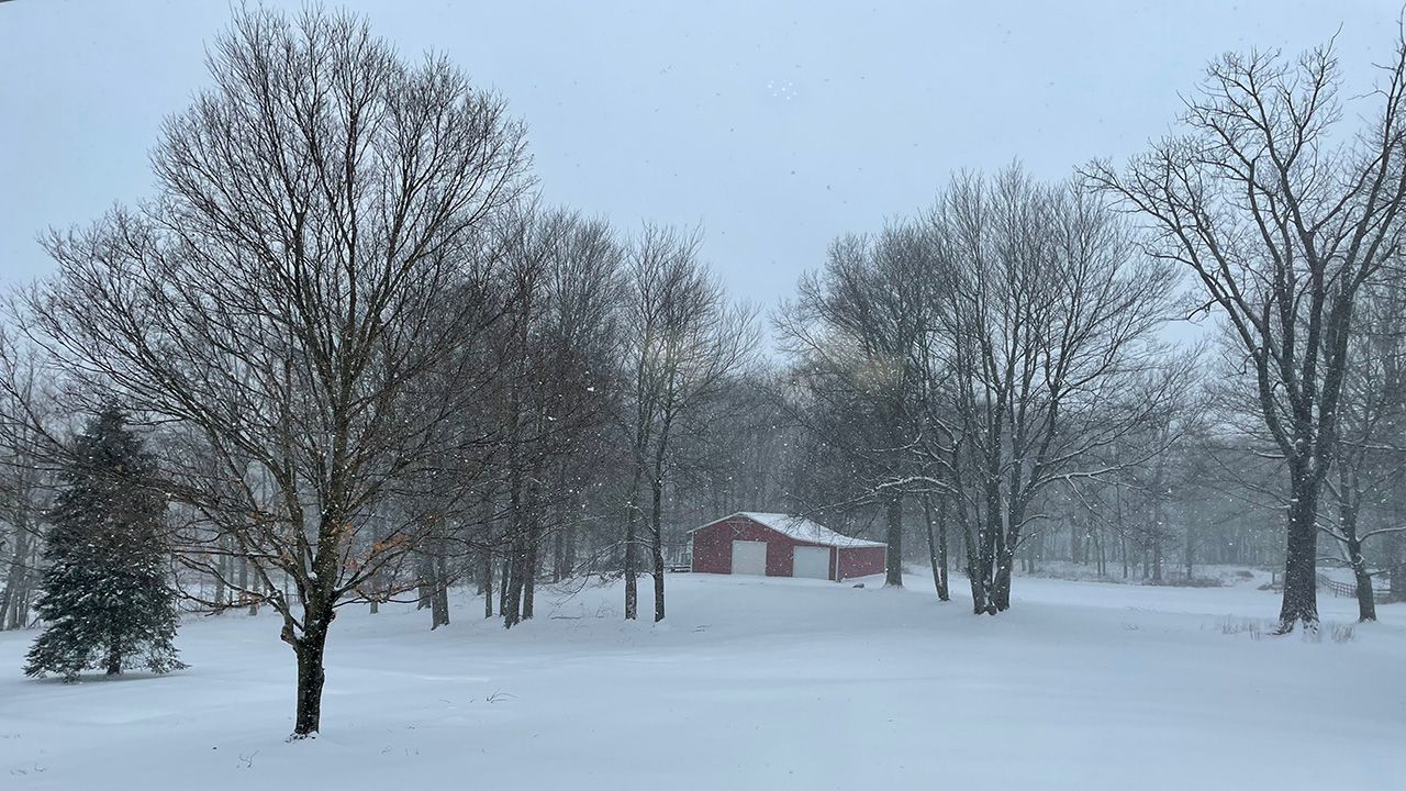
Most areas Wednesday morning picked up 1 to 3 inches of snow before daybreak. There were some pockets higher with around 5 inches in Montgomery County.
Here is a look at snowfall totals so far:
Snowfall will continue in northwest Ohio.
Lake-effect snow will set up tonight and bring an additional 3 to 6 inches of snowfall to the snowbelt, so the Thursday morning commute will be slow.
We all switch back to snow showers as temperatures fall again Wednesday evening, with scattered snow showers lasting into Thursday.
-4)
We will be in and out of snow showers through Friday night.
Looking ahead to Sunday, a similar storm system is possible with widespread rain and snow.
Our team of meteorologists dives deep into the science of weather and breaks down timely weather data and information. To view more weather and climate stories, check out our weather blogs section.