


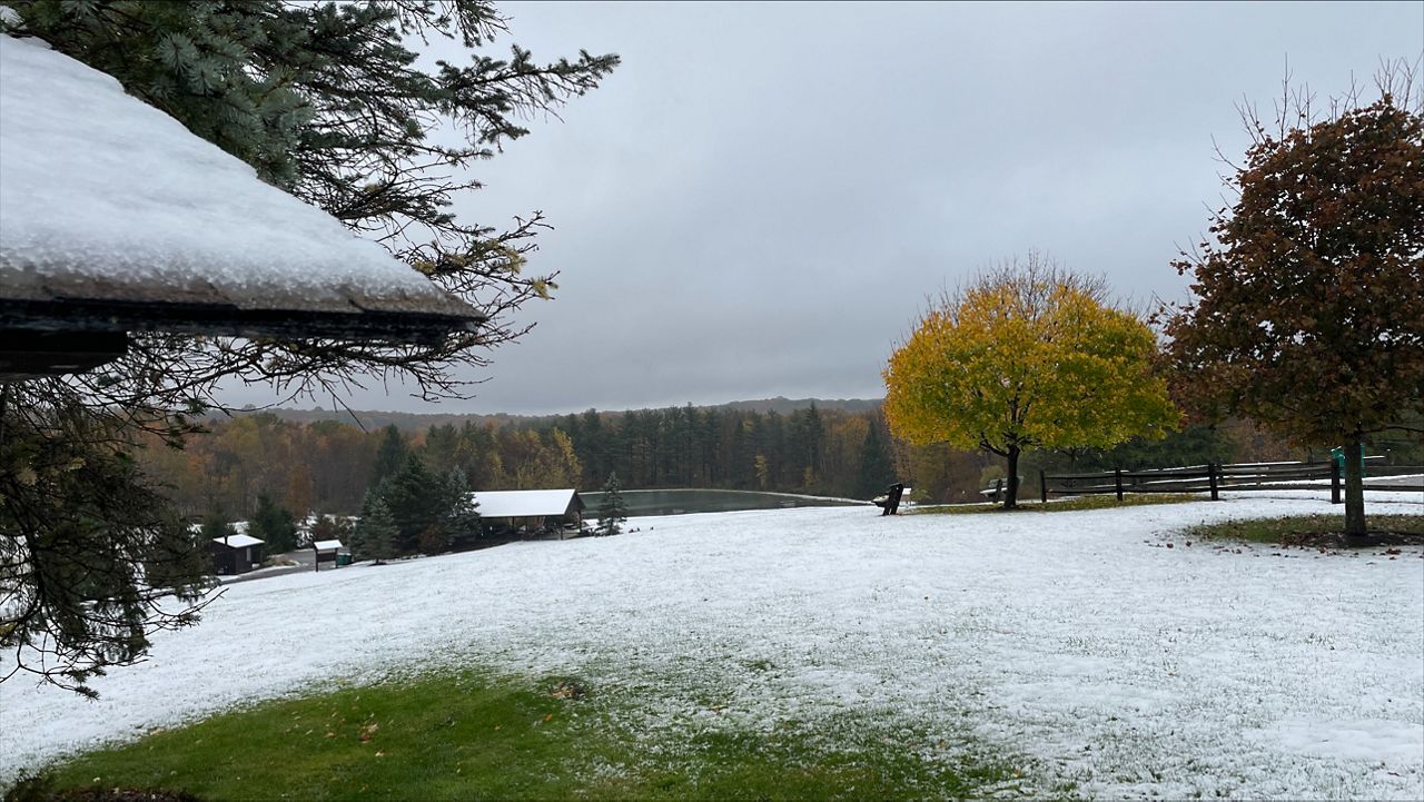
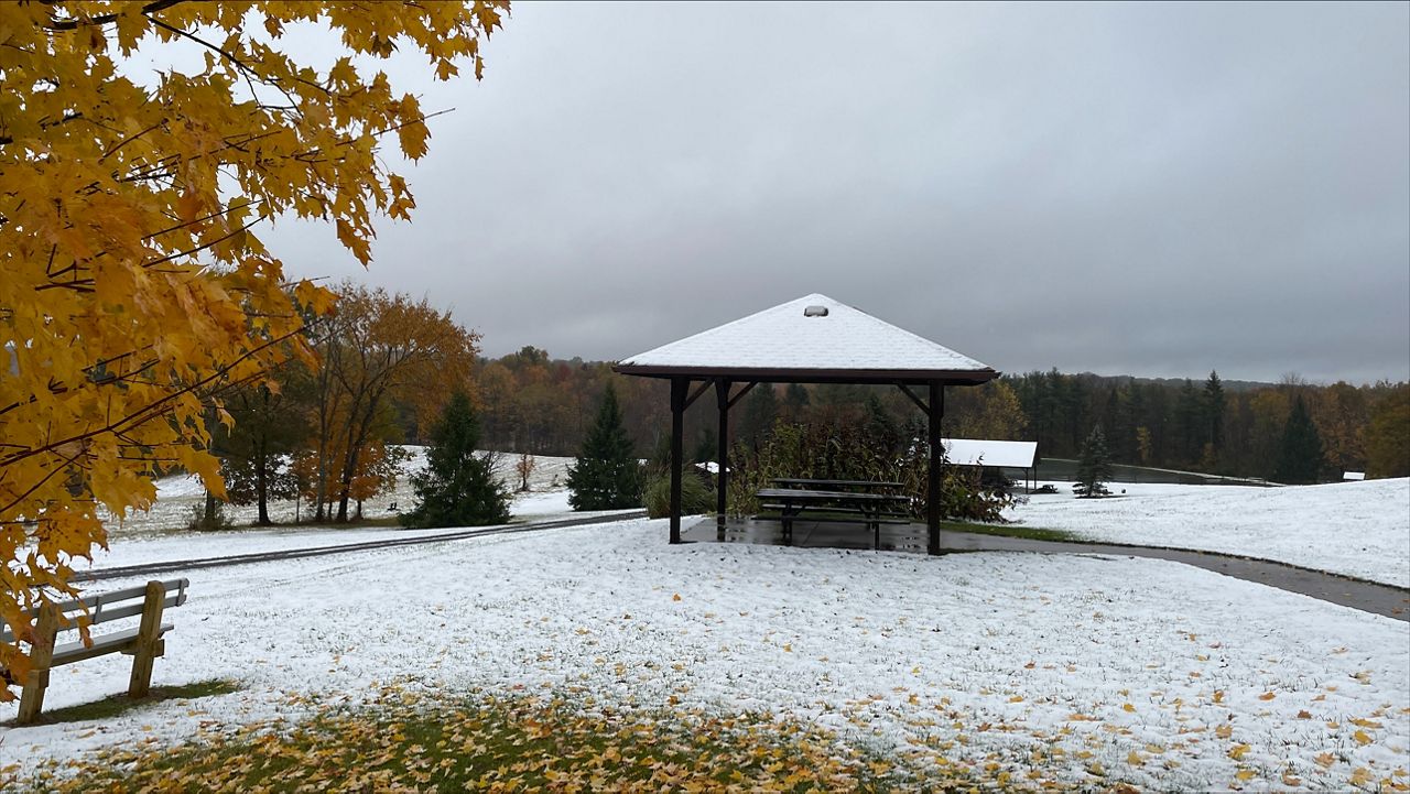
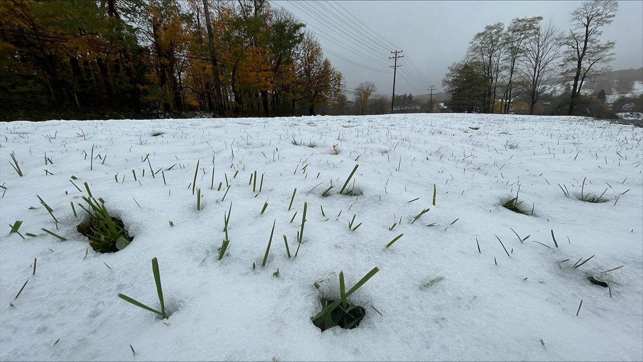
Our unofficial winter wake-up call arrived earlier than normal this past week with some snowflakes and freezing temperatures.
And if you are thinking it was too early to see flakes, well, you aren’t wrong. It was early.
On average, the northern half of the state sees its first measurable snow in early to mid-November. It’s typically a bit later for mid and southern Ohio, closer to the end of November.
According to the National Weather Service, they define first snowfall as the first day measurable snow fell.
Cleveland’s first snowfall average date is Nov. 10. Toledo is on Nov. 17. However, the snow belt regions typically have lake-effect snow showers, bring the first average snowfall date early in November, like Youngstown on Nov. 4.
This year our first snow flakes fell without being a major impact. Cleveland recorded a trace of snow both Oct. 18 and 19.
Geauga and Lake counties picked up on measurable snow on Oct. 19 because of lake-effect snow
Some isolated areas with the prime snow belt region saw 1 to 2 inches!
But this year wasn’t the earliest snowfall on record! The earliest first snowfall of the season for Cleveland, Akron-Canton and Youngstown was on Oct. 2, 1974 and 2003.
While, it’s usually later in November until cities like Cincinnati, Columbus and Dayton pick up on the first snow of the season. Usually, it’s even later for our first inch of snow until mid-December too.
On Oct. 17 and 18, Cincinnati (airport) recorded a trace of snow. Based on the records for the earliest trace of snow, Oct. 17, 2022 is in the top three earliest dates at the Cincinnati airport.
Columbus also recorded a trace of snow on Oct. 18.
For Dayton, it was three days in a row that a trace of snow was recorded from Oct. 16 to Oct. 19!
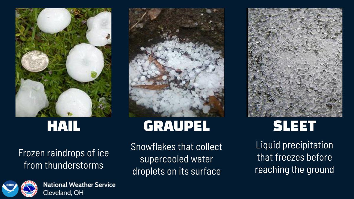
Sometimes it’s hard to distinguish what kind of precipitation you have in your backyard! Graupel is pretty common in rain showers this time of year when the atmosphere is unstable and temperatures flirt near freezing.
The graphic below is from the National Weather Service in Cleveland. Graupel is soft, crumbly pellets are snowflakes that accumulate water droplets on the surface.
Our team of meteorologists dives deep into the science of weather and breaks down timely weather data and information. To view more weather and climate stories, check out our weather blogs section.